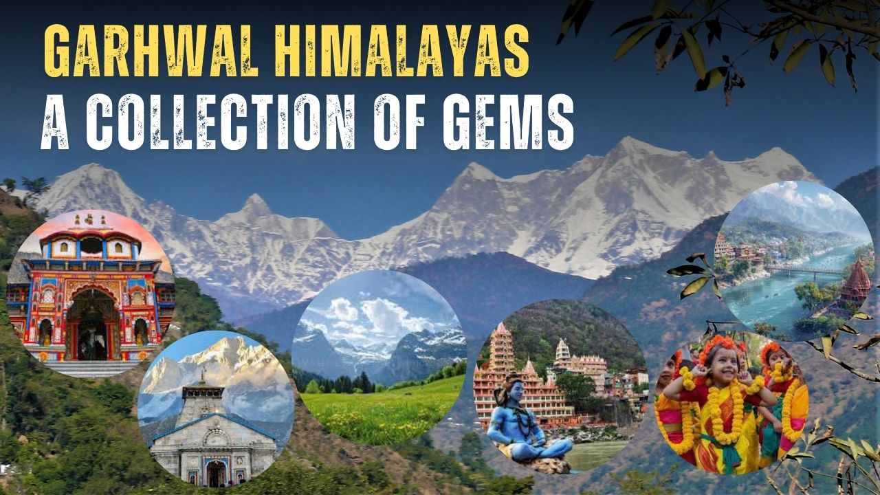
The Himalayas is a crown of snow-capped peaks bestowed upon the state of Uttarakhand, India. Uttarakhand can be divided into 2 regions, which are Garhwal and Kumaon. The Garhwal Himalayas is the upper part of Uttarakhand, surrounded by Tibet in the East, Himachal Pradesh in the Northwest and the lower region in the South, Kumaon by Uttar Pradesh.
Garhwal division has 7 districts, namely, Chamoli, Dehradun, Rudraprayag, Pauri Garhwal, Haridwar, Uttarkashi and Tehri Garhwal. This division is home to several glaciers, national parks, religious expeditions and more.
Nestled between towering peaks, deep valleys, river basins, glaciers, etc., the Garhwal Himalayas offer one of the best trekking expeditions in the country. From beginner-level Nag Tibba to a challenge of Auden Col and Kalindi Khal Expedition for experienced candidates, there’s something for everyone.
Many devotees come to Garhwal to fulfil their lifelong dream of visiting these holy sites and finding Moksha here. The pilgrimage sites attract devotees from around the world, from different religions, such as Hinduism, Buddhism, Jainism, and Sikhs.
Garhwal is a region of colourful culture, joyous festivals, and centuries-old traditions, all held together by the local community. Though the natives are called Garhwalis, a combination of the diverse communities that live here, like the Jadh of Jadung valley, Jaunsari tribe of Chakrata Tehsil, Shauka, etc.
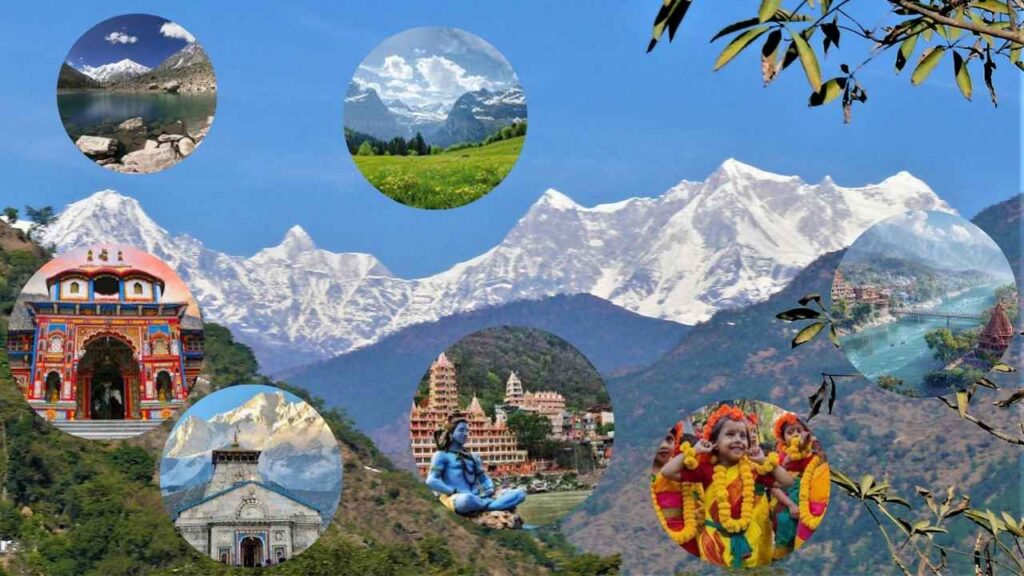
Let’s find out more about this fascinating place and people.
Table of Contents
Historical Significance of Garhwal Himalayas
Though the Himalayas are considered as the “youngest mountain range” of the world, yet it still is as old as we can think of. Finding the mentions of Garhwal can be traced back to the 7th-century travelogue of Huen Tsang. And in the 8th century links to Adi Shankaracharya can be found when he visited these higher grounds and established Joshimath and restored other sacred shrines like Kedarnath & Badrinath.
The Katyuris ruled the region of Garhwal till the 11th century, and it remained divided into 52 Garhs or sections. It was in the 14th century when King Ajay Pal, the successor of the Parmar Dynasty, unified all 52 Garhs into 1 and made Garhwal Kingdom.
The reign of the Parmars continued till 1803, when Gurkha Invasion took place. The Gurkhas ruled over the lands for 12 years with a vicelike grip. It was in 1814, with the help of the British, the Gurkhas were defeated. In the finale result, the regions of Garhwal and Kumaon were administered as British states, and Tehri was given to the former descendent.
Religious Significance
The Garhwal Himalayas are also mentioned in our mythological scriptures, such as the Mahabharata and Skanda Purana. Then, it is known as “Kedarkhand”, translating to “the land of God”, and even today, it is called “Devbhoomi”, meaning the same.
And we all can agree on the fact that Gods loved this place, as many of the shrines, including Chhota Char Dham Circuit, also found a place here in the mountains. The presence of many pilgrimage sites of several religions like hindu, sikh, and Buddhist makes this place more sacred for the devotees.
Chhota Char Dham
4 holy pilgrimage sites circuit for Hindus. They all lie in the Garhwal Himalayas and can be covered in 12 to 15 days.
The circuit usually opens from Akshay Tritya (April/May) till Bhai Dooj (2 days after Diwali).
- Badrinath Temple – Dedicated to Lord Vishnu, it draws millions of pilgrims every year to seek blessings.
- Kedarnath Temple – A temple dedicated to Lord Shiva. The temple is also a part of 12 Jyotirlingas and Panch Kedars.
- Yamunotri Temple – 150 km North of Uttarkashi lies the temple dedicated to River Goddess. Yamuna flows from the Mt.Bandarpunch range. The Champasar glacier is the main source of water for the river, further 1 more kilometre above the temple.
- Gangotri Temple – Dedicated to Goddess Ganga, it is 99 kilometres away from Uttarkashi, flanked by the Chaukhamba mountain group. The main source of water is Gaumukh Glacier, which is 19 km away. The temple remains closed for 6 months of the year, from Diwali till Akshay Tritya. At that time, the idol was moved to the Mukhba village of Harsil Valley to continue proper rituals.
Char Dham is a circuit of 4 temples in 4 directions of India, an important and auspicious pilgrimage journey for Hindus. Each of them represents one of 4 yugs / eras.
- Badrinath – Satyuga
- Rameshvaram (Tamil Nadu) – Tretayuga
- Dwarka (Gujrat)- Dwaparyuga
- Puri (Odisha) – Kalyuga
Shakti Peeths
As per mythology, Goddess Sati immolated herself in a yagya by her father after being humiliated by him for marrying Lord Shiva and coming uninvited. Lord Shiva her husband, being devastated by the news, turned towards anger in grief. He danced the Tandava with Mata Sati’s body on his shoulder over the universe. Hence, wherever her body parts fell on earth, those places were worshipped. It is believed that there are 51 Shakti Peeth, two of which are in Garhwal are listed below.
- Chandarbadini Temple – It is believed that Mata Sati’s torso fell over here, but there is no idol here; instead, a Shri Yantra is worshipped.
- Surkanda Devi – Here, Devi Sati’s head fell when Lord Shiva passed over the region.
Panch Kedars
These are 5 temples in the Garhwal Himalayas dedicated to Lord Shiva, namely, Kedarnath, Madhmaheshwar, Tungnath, Rudranath and Kalpnath. Tungnath is the tallest Shiva temple in the world. All 5 can be covered in 15 days.
Panch Prayags
The 5 holy confluence of rivers to form the river Ganga.
- Vishnuprayag – Alaknanda meets Dhauliganga.
- Nandprayag – Nandakini meets Alaknanda.
- Karnaprayag – Pindarganga meets Alaknanda.
- Rudraprayag – Mandakini meets Alaknanda.
- Devprayag – Bhagirathi meets Alaknanda.
Panch Badri
5 temples dedicated to Lord Vishnu.
- Vishal Badri – Badrinath
- Yogyadhan Badri – related to meditation.
- Bhavishya Badri – related to future aspects.
- Vridha Badri – a 1,200-year temple where Sage Narad performed penance.
- Adi Badri – Worshipped during winter when Badrinath is not accessible.
Local Deities
There are other local deities & Siddhi Peeths in the Garhwal Himalayas, which are sacred and valued among devotees. These temples are of Mansa Devi, Chandi Devi, Koteshwar Mahadev, Jwalpa Devi, Mahasu Devta, Kandar Devta, Lal Devta, Someshwar Devta, etc.
Geographial Advantges of Garhwal Himalayas
Garhwal Himalayas are blessed with all types of ranges including Greater Himalayan Ranges, the Middle Himalayan Ranges and the Lesser or Lower Himalayan Ranges. Also, other geographical phenomena make it the perfect place to experience nature’s wonders. There are several mountain ranges and world famous Himalayan peaks located under the Garhwal.
Mountain ranges
It is difficult to describe only the Garhwal Himalayan range without kumaon as the ranges don’t have definite geometrical paths. The whole region can be divided into 7 parts, bifurcated by rivers and passes.
Starting from west to East first is the Bandarpoonch Range; on its right sides, Jadh Ganga and Bhagirathi create the divide. Tall peaks like Bhandarpoonch, Kalanag, and Swargrohini are part of this range.
A ridge towards the western side leads to Kedarkantha and another tendril towards the east ends in the famous Dayara Bugyal. The famous Har Ki Doon Valley is also located here.
Gangotri range
It lies on the west side of the Alaknanda and Saraswati rivers, originating from Satopanth Glacier near Mana Pass. The Chaukhamba I (7355 m) is the tallest peak of the range and other famous peaks are Gangotri (6672 m), Satopanth (7075 m), Kedarnath (6940 m), Sri Kailash (6932 m), etc.
India’s 2nd largest glacier – Gangotri, is also present here. The terminus point of the glacier looks like a cow’s snout, with its name “Gomukh” in Tapovan meadow at the base of Shivling peak. Gangotri is the source of the Bhagirathi River, the main tributary of Ganga.
Moving downwards, a ridge from Kedarkantha ends in Panwali Kantha Bugyal. Another spine from Chaukhamba massive leads to Tungnath, Rudranath and Madhmaheshwar temples. One more ridge moves to the eastern side and ends in Neelkantha Parvat, below which the Badrinath temple remains.
Nanda Devi
The range falls on the right of the Kori Ganga river and originates from the Milam glacier. India’s 2nd highest peak, Nanda Devi (7817 m) is here among other towering peaks like Maiktoli (6803 m), Sunanada Devi (7434 m), Trishul (7120 m) etc.
A ridge line on the left side starts from Mt Nanda Kot (6861 m) and meets Khaliya Bugyal. Another ridge line starting from Trishul goes through Rupkund to meet Ali Bedni Bugyal. One crest line starting from Nanda Ghunti (6309 m) meets Auli Gorson Bugyal.
Kamet Group
The group lies on the left of the Dhauliganga River, which originates from Niti Pass.
Mt. Kamet (7756 m) is the 2nd highest mountain of India, followed by other peaks like Abi Gamin (7355 m), Hathi Parvat (6727 m), and Deoban (6855 m).
Famous treks and UNESCO world heritage sites, such as the Valley of Flowers National Park and the Sikh pilgrimage site Hemkund Sahib, have come into this region.
Panchachuli Range
The range is on the left side of the Eastern Darma River. Panchachuli II (6904 m) is the highest peak in the range; apart from these, Mt. Rajrambha (6539 m) and Chiringwee (6595 m) are also found here.
Moving towards the East, the Kuthi River flows through Limpidhura Pass. On the left side, the Adi Kailash mountain range persists, with Brahma Parvat being the tallest (6321 m) and Mt. Adi Kailash (5945 m) tall. Later, the Kuthi River meets the Kalapani river in Gunji village to formulate the Kali or Sharda River.
Lipulekh Pass
The pass lies under the Chaudans Valley of Dharchula, Kumaon, links India with the Bayans Valley of Nepal and Tibet. On the right side of the valley, Om Parvat and some parts of the Gurans Himal range of Nepal can be found. The Kalapani River is on the left side of this valley, creating a divide.
The holy pilgrim site of Kailash Mansarovar can be accessed through this pass.
Highest Mountain Peaks of the Garhwal Himalayas
Garhwal Himalayas have some of the highest peaks of the country and the world.
Here is a list of the highest peaks of Uttarakhand; all are spread in both Garhwal and Kumaon Himalayas.
| Peak Name | Altitude (meters) | Base Village | Terrain Difficulty |
| Nanda Devi | 7,816 | Lata | Challenging |
| Kamet | 7,756 | Ghamsali | Challenging |
| Abi Gamin | 7,355 | Ghamsali | Challenging |
| Mana Peak | 7,273 | Mana | Challenging |
| Chaukhamba I | 7,138 | Badrinath | Challenging |
| Trishul I | 7,120 | Sutol | Challenging |
| Satopanth | 7,075 | Badrinath | Challenging |
Bugyals
Meadows or grasslands are called Bugyals in the local language of Uttarakhand. These bugyals are perched upon higher altitudes of 10,800 ft to 13,000 ft. Therefore, they are also known as High Altitude Alpine Meadows.
During spring and monsoon, you will find a wave of colourful wildflowers and vibrant green grass all around in these bugyals.
Among these meadows in the pocket of forests, pristine high-altitude lakes are also formed. These lakes serve to help the ecosystem thrive, support local communities and give people a chance to find peace.
Here’s a list of Bugyals in the Garhwal Himalayas –
| Place | District |
| Ali Bugyal | Chamoli |
| Bagji Bugyal | Chamoli |
| Bedni Bugyal | Chamoli |
| Chainsheel Bugyal | Uttarkashi |
| Chopta Bugyal | Rudraprayag |
| Dayara Bugyal | Uttarkashi |
| Gidara Bugyal | Uttarkashi |
| Gorson Bugyal | Chamoli |
| Gulabi Kantha Bugyal | Uttarkashi |
| Har Ki Doon Bugyal | Uttarkashi |
| Helsi Bugyal | Tehri Garhwal |
| Kedar Kantha Bugyal | Uttarkashi |
| Kush Kalyan Bugyal | Tehri Garhwal |
| Madmaheshwar Bugyal | Rudraprayag |
| Moila Bugyal | Dehradun |
| Moth Bugyal | Rudraprayag |
| Nag Tibba Bugyal | Tehri Garhwal |
| Panar Bugyal | Chamoli |
| Panwali Kantha Bugyal | Tehri Garhwal |
| Helsi Bugyal | Tehri Garhwal |
Glaciers
Uttarakhand is the land of more than 1000 glaciers, providing lifelines to the big rivers, local people and biodiversity. Here’s a list of a few famous glaciers of the Garhwal Himalayas –
| Name | Base Village | Total Dist | Details |
| Bandarpunch | Seema | 28 | Source of water for river Yamuna |
| Gangotri | Gangotri | 18 | The water source of Bhagirathi later meets Alakhnanda to form Ganga at Devprayag. |
| Khatling | Ghuttu | 45 | Water source – Bhilanga River |
| Dokriani | Gujjar Hut | 16 | Formed by two cirques originating at the northern slope of Draupadi ka Danda & Jaoni Peak. Melts to formulate a “Dingad” water stream. |
| Doonagiri | Juma | 24 | Water source for Dhauliganga River. |
| Chorabari | Kedarnath (enroute to temple) | 14 | Water Source – Mandakini River also feeds a lake named Kanti Sarovar, aka Chorabari Tal. |
| Satopanth | Mana | 34 | Origin of Alaknanda River. |
| Tipra Banak Group | Joshimath | 35 | Located across the Valley of Flowers and Hemkund Sahib. |
| Nanda Devi Group | Lata | 50 | A cluster of seven glaciers formulates various streams and feeding rivers. |
Treks
Garhwal Himalayas has a diverse range of treks; whether you are a beginner or an experienced trekker, there’s a trek for everyone. Here’s a short list of treks of each difficulty level.
| Easy | Moderate | Difficult |
| Nag Tibba | Kedartal | Auden’s Col |
| Chopta-Tungnath-Chandrashila | Roopkund | Bali Pass |
| Dayara Bugyal | Pangarchulla | Kalindi Khal Trek |
Other than these, refer to our detailed guides to find out which treks suit you the best.
Tourism in Garhwal Himalayas
Garhwal Himalayas are enriched with idyllic hill stations, national parks, adventure spots, biking trails, trekking destinations, and more that cater to everyone’s request.
Famous Trekking Destination
| Trekking Destination | Highlights |
| Dayara Bugyal | Experience a vast snow-covered high-altitude alpine meadow |
| Kush Kalyan | Trek to a grand meadow via the old route to Kedarnath Dham |
| Chopta Tungnath Chandrashila | Visit the World’s highest Shiva Temple & meditation place of Lord Rama after killing Ravan |
| Gaumukh Tapovan | An enticing spiritual journey to the origin of Bhagirathi, which later joins Alaknanada to form Ganga |
| Har Ki Dun | It is one of the oldest known treks, which opened doors for the trekking community |
| Sahastra Tal Trek | The largest glacial lake in Bhilanagna Valley |
| Kedarkantha | Witness beautiful sunrise after an exciting summit climb on a lone mountain |
| Valley of Flowers Trek | A valley bursting with colourful flowers also given UNESCO World Heritage status |
| Kuari Pass | A beautiful trek in the Chamoli district of Uttarakhand, also known as Lord Curzon’s Trail, the Kuari Pass Trek spans six days and offers stunning views of the iconic Nanda Devi. |
Famous Expeditions
| Kalindi Khal | A pinnacle point connecting Gangotri with Ghastoli with many glaciers in between (19,495 ft) |
| Auden’s Col | A high-altitude mountain pass connecting Rudragaira Valley and Bhilanga Valley after crossing Khatling Glacier (18,010ft) |
| Panpatia Col | The shortest (in kms) yet toughest pass from Badrinath to Kedarnath (17,257 ft) |
| Gupt Khal via Bhyunder Khal | Beyond the Valley of Flowers lies this twin pass after crossing many glaciers like Nilgir & Ratanban. It ends in Badrinath (19,030 ft) |
| Black Peak | Summit, the highest peak of the Saraswati Range in Ruinsara Valley (20,955 ft) |
Hill Stations
- Dehradun – The capital city of Uttrakhand has many surprises for you; a few of them are Robber’s Cave, Kimandi Waterfalls & many mountain cycling routes. A few recommended guides are –
- Rishikesh – Indulge yourself in the Yoga Capital of the world. A place filled with both peace of meditation and the thrill of white river rafting and bungee jumping. Read our comprehensive guide on Waterfalls of Rishikesh to make the most out of your trip.
- Nelong Valley – Experience Ladakh’s cold desert-like geographical conditions here in Uttarakhand.
- Mussoorie – Known as “Queen of Hills”, Mussoorie is believed to be named after a yellow colour Masuri Berry flower which bears red achene. Traverse through the highest point – Lal Tibba and Gun Hill- and enjoy the scenic routes on Mall Road. There are several religious places like Bhadraj Temple of Lord Balram (elder brother of Lord Krishna), Jwalaji Mata & Nag Devta Temple. In and nearby Mussoorie, you wil find many waterfalls like Kempty Fall, Bhatta Fall, Jharipani Fall, Mossy Fall and lakes like Mussoorie Lake and Lake Mist.
- Auli – Auli is a hill station in the Himalayan mountains of Uttarakhand, India, known for its skiing, natural beauty, and religious sites. The place is a world-class skiing destination with slopes that are 3 km long and 500 m deep. The best time to visit for skiing is January to March.
- Chakrata – An entirely hidden & pollution-free paradise of Uttarakhand. Known for its vibrant beauty with the backdrop of Himalayan peaks, Chakrata is a must-visit place. Rich in culture and heritage, you can visit famous temples like Lakhmandal, Hano Mahasu and Koti Kansar.
- Other natural spots like Buder Caves, Tiger Falls, Kimono Falls and Moigad Falls are tourist favourites. A natural pond with Apple Orchid awaits you in Ram tall Horticulture site with alluring views.
- Chakrata is also known as a trekking destination, and the closest peak you can find is Deoban for your trekking adventure.
National Parks
- Valley of Flowers National Park – The most beautiful UNESCO World Heritage Site, bursting with more than 498 species of flowering plants and more.
- Gangotri National Park – A hub of several treks ranging from moderate to easy, including the holy pilgrimage to Gaumukh.
- Govind Pashu Vihar National Park – The starting point of the government’s Snow Leopard Project and one of the homes for remaining bearded vultures.
- Nanda Devi National Park – A UNESCO World Heritage Site, embosses a unique transition of the Zanskar mountain range to the Great Himalayas.
Both Valley of Flowers NP and Nanda Devi NP fall under Nada Devi Biosphere Reserve.
Festivals
Festivals are the heartbeat of any region, reminding people of good. The Garhwalis are known to celebrate and cherish even the smallest things and find happiness.
- Butter Holi – Celebrated at Dayara Bugyal, this special Holi seeks to thank God for keeping everyone safe during the harsh weather.
- Nanda Devi Raj Jaat Yatra – Celebrated every 12 years to welcome Nanda Devi back in her Mayka (maternal place). The Yatra is approximately 280 km long covered on foot, starting from Nauti village of Karnaprayag to Roopkund.
- Kumbh Mela in Haridwar – The biggest human gathering on earth happens in intervals of 3,6 & 12 years. It is believed that taking a dip in the holy water will grant moksha and free you from all the sins committed.
- Bissu Mela – Celebrated for a week at Chakarta Block of Dehradun by the Juansari community to mark the good harvest made.
- Phool Dei Festival – A harvest festival of Uttrakhand, celebrated on the first day of Chaitra month as per the Hindu calendar. At this festival, a special sweet dish called “Dei” is made of jaggery. Little girls visit every home in the town/city, offering blessings with a plate full of rice, flowers, jaggery and coconut. They also sing – “Phool Dei, Chamma Dei, Deno Dwar, Bhur Bhakar, Vo Dei Sei Namashkar, Puje Dwar.”
- Nanda Ashtami – Celebrates the departure of Maa Nanda Devi from her Mayka (Maternal place) to her home in Kailash. The festival is celebrated on the 8th day or Ashtami of Bhadrapada month (Mid-Aug-September).
Garhwal Himalayas: A Wrap Up
In the laps of the Garhwal Himalayas, all can be found, from traditions and culture to modern-day river rafting & paragliding. There are tons of things which you can learn from the Garhwal Himalayas and the people living there.
From embracing different cultures and respecting other religions to finding strength in living in tough situations. Whether you want to find peace or, seek an adrenaline rush, or embark on a new spiritual journey, Garhwal has it all.
Immerse yourself in the charisma of Garhwal Himalayas and begin your journey.
Leave a Comment