Black Peak Expedition
Region: Uttarakhand
Base Camp: Sankri
Days: 15
Altitude: 20,960 ft
Grade: Difficult
Distance: 98 Kms
Min Age: 18 Years+
Best Season: Summer and Autumn
Trek Description
Have you ever had this thought that you need to take a break from alpine hill treks and rather choose to do an expedition? Whether you’re a moderate or strenuous-level trekker, you definitely had this thought once in a while in your mind. So, it’s time to turn your thoughts or daydreaming into reality. Yes, if you’re ready to push your trekking limits, then you must look forward to one of the most difficult Black Peak expedition.
Black Peak, alternatively recognized as Kala Nag or Black Cobra in the local dialect, reigns as the loftiest and most emblematic summit within the Bandarpunch (Saraswati) range in the Garhwal Himalayas. Its towering elevation of 6,387 meters (20,955 feet) establishes it as a formidable challenge, demanding a mastery of advanced climbing techniques and extensive high-altitude trekking expertise. What distinguishes Black Peak is its distinctive formation that strikingly resembles the head of a cobra. Further intensifying its enigmatic appeal and securing its esteemed status among avid mountaineers pursuing an exhilarating and daring expedition. Black Peak, in fact, is not just a mountain; it’s a friendly behemoth wrapped in mystery and charm, waiting for adventurers and nature lovers to come and discover its secrets.
The story of Black Peak begins with the efforts of British mountaineers in the early 20th century, and later, in 1979, the Indo-Tibetan Border Police team reached its summit. These achievements transformed it into a beloved destination for global adventurers, all drawn by its rugged charm and breathtaking panoramas.
Beyond its mountaineering history, local tales infuse Black Peak with a deep sense of myth and reverence. The mountain is woven into folklore as the dwelling place of Lord Shiva, a revered figure in Hindu mythology. The belief in guardian mountain deities only heightens the sense of mystical protection surrounding this revered peak. These myths and legends add an extra layer of fascination and sanctity to the majestic aura of Black Peak.
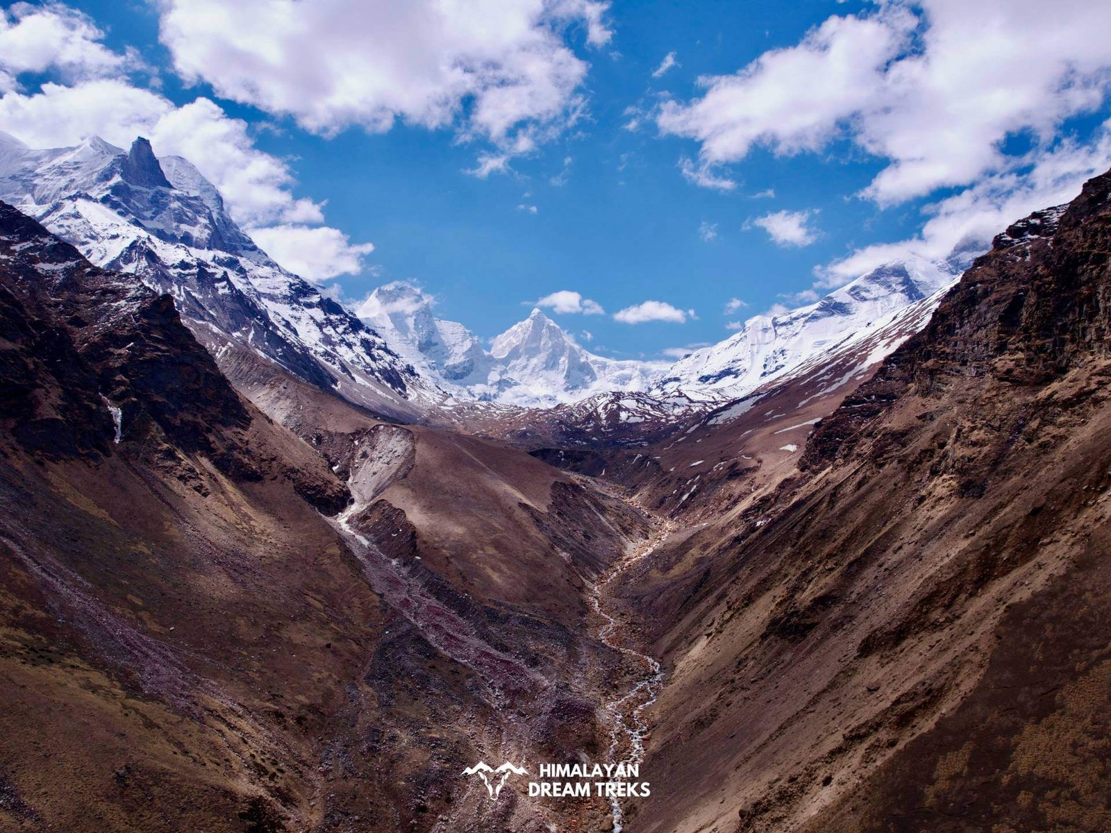
The expedition to Black Peak passes through the wonderful Govind National Park, which is famous for its flora and fauna. It boasts insurmountable beauty across an assortment of landscapes ranging from alpine meadows to pine forests to moraine ridges, boulders, and glacier basins. It is the finest and the highest peak, surrounded by eye-catching mountains, which include Bandarpunch, Swargarohini Massive, and Dhuandhar Pass. The trail mostly goes through the dense jungle alongside the Tons River. All along the route, you’ll cross a few villages where you’ll meet locals. Throughout your journey, you’ll cross beautiful meadows and numerous wood bridges.
Undoubtedly, it’s a pleasant trek and renowned for its breathtaking local beauty structure and nature of climbing. But the harsh reality is that it would turn out to be the most thrilling and life-endangering trek you do on this expedition. You have to cross quite a few active landslides and rock fall areas. The slippery, loose mud and slushy snow hid the trail, heavy rucksacks pulling up body weights back. Nothing will be in your favor; even you’ll lose count of how many times you fall & flip. Reaching the summit of Black Peak feels like achieving a special honor, a reward for those who love testing themselves and finding happiness in the journey.
Itinerary
Average Elevation: 00 m
Our exciting journey begins from Dehradun on a 220-kilometer drive to Sankri. Expect an 8 to 9-hour journey along scenic yet rugged mountain roads, passing through Mussoorie, Naitwar, and Mori. The road meanders alongside the Yamuna and Tons rivers, adorned with lush greenery and a mix of milky white and emerald hues. The alluring fragrance of the surrounding forest blends seamlessly with the stunning vistas, making the trek to Sankri a memorable experience. Enjoy the picturesque landscapes along the Yamuna and Tons rivers, leading to the captivating Govind National Park. Upon arrival in Sankri, relax and unwind at the hotel nestled in the serene charm of the area.
Trek Distance: N/A
Altitude Gain: N/A
After breakfast, we’ll drive to Taluka, which is 12 km away from Sankri and takes about an hour to reach. The road to Taluka is surrounded by bamboo and deodar trees, with streams crossing the zigzag path. Our trek officially begins from Taluka, and we’ll cover a 12 km distance to reach Seema, which is on the right bank of the Supin River. The path leads you through forests adorned with walnuts, cashew nuts, and willow trees. The side of the Supin River that we’ll traverse is particularly scenic. The path winds alongside a river, leading to Gangad village, displaying classic Himalayan architecture. A wooden bridge connects to Osla village, renowned for its Garhwali culture and lifestyle. Opposite Osla, Seema campsite, a tourist shelter, awaits. Further along, we’ll arrive at Seema for our overnight camp. The path might be covered in snow and slush during winter.
Trek Distance: N/A
Altitude: N/A
Take in the breathtaking views from the mountain trail that leads to the holy Ruinsara Lake. The fascinating views of the Swargarohini Range create a stunning background that evokes the legendary undertones of the Indian epic Mahabharata, which tells the story of the Pandavas’ 14-year exile. The core of this fabled story comes to life as you hike, enchanting the picturesque Ruinsara Tal with its allure.
Time: N/A
Drive Time: N/A
The imposing silhouette gradually emerges on your way to the Black Peak base camp. The trek poses considerable challenges as you navigate valleys and rugged terrain flanked by breathtaking mountain vistas. The ascent to Kyarkoti is steep, adding to the overall difficulty.
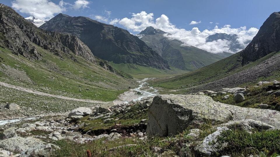
After about an hour’s hike, you’ll reach a prone landscape area, guided by your trail markers and expert guide through the landslide zone. Arising into a picturesque grassland, the glistening Supin River flows below, while the undulating path leads you over hills, water bodies, and a rugged 3 km boulder stretch. Arriving at the camp, you’ll find a vast grassy expanse enclosed by boulders, with the striking Swargarohini peaks in the backdrop.
As evening sets in, ready for a serene night, ensure you have sufficient layers to keep warm as you contemplate the majestic Black Peak, your ultimate destination.
Time: N/A
Drive Time: N/A
Considering the upcoming altitude gains, scheduling a rest day for adequate acclimatization is imperative, minimizing the risk of AMS (Acute Mountain Sickness).
Today, you’ll be introduced to the equipment for the journey ahead, receiving training on walking techniques, knot tying, and the use of tools like axes. Enjoy your evening, and rest well, as the following days are set to be exciting.
Time: N/A
Drive Time: N/A
Today, you’ll load the ferry and trek from Kyarkoti to Camp 1 to set up the Camp 1. Here, you’ll be greeted by views of Swargarohini to the north and Bandarpunch to the South. The relatively short distance shouldn’t be rushed, given the potential effects of the altitude.
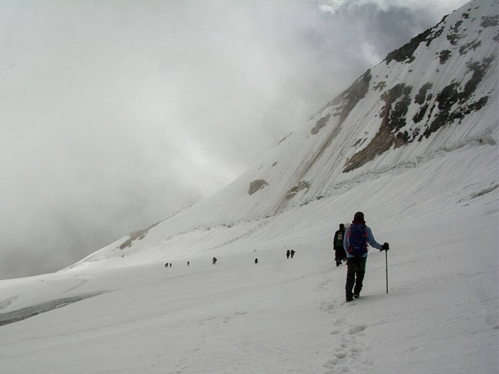
The trail, though picturesque, can be challenging as it alternates between clear paths, narrow stretches, and rocky, inclined terrain. The landscape changes dramatically from drylands to dry glacier beds.
Time: N/A
Drive Time: N/A
After approximately 2 hours of rugged terrain:
- Settle into Camp 1 and enjoy the stunning views.
- Prepare for your upcoming ascent of the Black Peak.
- Take a leisurely walk around the camp, witnessing a stunning sunset that paints the sky and snow in an enchanting, visually immersive display.
- As the temperature decreases and the wind picks up, savor a delightful dinner before retiring to your tents.
Time: N/A
Drive Time: N/A
The path to the Advance Base Camp (ABC) leads through meadows, rocky terrain, and a challenging ascent through a landslide area, descending to moraine fields and a glacier. The spectacular sight of the Black Peak from here is captivating as it marks the journey towards conquering this grand mountain. We set up Camp 1, organized our gear, and prepared to move forward. After returning to the ABC, we rested for the night.
Time: N/A
Drive Time: N/A
We will repeat the same route we took yesterday to build Camp 1. Then, we rest for the night.
Time: N/A
Drive Time: N/A
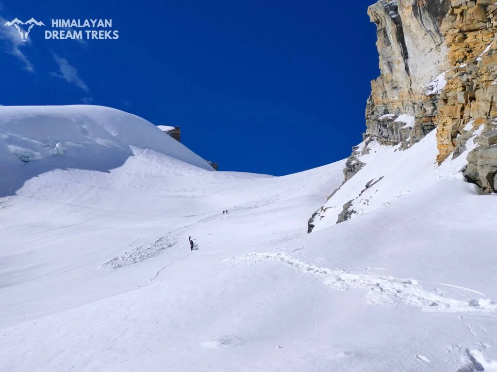
Today, we move toward our Summit camp. After navigating past several crevasses, we establish our camp on a snowfield. The campsite offers stunning views of Swargarohini to the North, Bandarpunch to the South and the visible Black Peak towards the Southeast. We’ll set up our camp for the night, gearing up for the Black Peak summit attempt the following day. Rest early as the summit push begins shortly after midnight.
Time: N/A
Drive Time: N/A
Today marks the long-awaited attempt to summit the majestic Black Peak. With a 2 a.m. start, the excitement among everyone is palpable. Following a thorough team check, we’ll eagerly embark on our journey towards the summit.
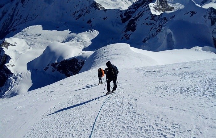
As you move forward, the only light guiding your way is the faint glimmer of the headlines. With each elevation gain, we’ll navigate through the thick snow while ensuring a stable foothold. Today’s track is entirely snow-covered and inclined, following the lead of your guide’s steps. As dawn breaks, the surrounding mountains create an awe-inspiring sight. The golden morning sun illuminates the snow-capped peaks, etching a memory that will endure forever.
The zigzag path to the summit necessitates roping up with your team for the final 500 meters. This challenging climb will likely become one of your most memorable experiences. Standing on top of the mighty Black Peak, the proximity of the Himalayan peaks is striking. Take a moment to absorb the panoramic views before we descend to the base camp.
The descent will be significantly faster, and you’ll reach the summit camp in approximately three hours. We’ll spend the night here and return to the base camp the following day. Rest well, basking in the sense of achievement from conquering the Black Peak summit. It’s a remarkable feat for any adventure enthusiast.
Time: N/A
Drive Time: N/A
An additional day to make the summit attempt.
Time: N/A
Drive Time: N/A
After a successful summit ascent, descend from Camp 2 back to the Kyarkoti.
Time: N/A
Drive Time: N/A
Descend from the Kyarkoti to Osla Village for an overnight stay. Spend your final day surrounded by forests and mountains, savoring every moment.
Time: N/A
Drive Time: N/A
Begin your day with a good breakfast. You will be going on a hike from Osla village to Taluka and then driving back to Sankri. You will walk beside the Supin River and through pine forests during the hike. After about 4 hours, you will reach Taluka, which is where you begin your journey. From there, you will be driven back to Sankri. Once you’re back, you can take a nice, refreshing shower at the guest house. In the evening, you can enjoy exploring the village.
Time: N/A
Drive Time: N/A
Today is the last day in these majestic mountains. We’ll commence our journey towards Dehradun bright and early. A Tata Sumo or a similar vehicle will be arranged at Sankari to transport you back. With a distance of 220 km to cover, anticipate a 10-hour journey. The sooner we set off, the smoother our return on the same route we tackled on day one. Let the breathtaking natural vistas envelop you as we traverse through picturesque landscapes stretching as far as the eye can see. Our estimated arrival time in Dehradun is 6:00 p.m., please plan your subsequent arrangements accordingly.
What’s Included?
Price Inclusion
- Accommodation: Hotel/Guest house stay : twins triple / dormitory. Tent : Double /triple sharing.
- Transportation from Dehradun to Dehradun.
- Meals: From the Day 1st dinner to the day 15th breakfast, all meals are included. We offer healthy, nutritious and vegetarian food on all days of the trek.
- Camping fees/ Permits : Both trekking permits and woodland camping fees are included in the price.
- Trek Equipments : dinning tent, kitchen tent, sleeping tent, tent with mattress and sleeping bags, utensils, ropes, micro-spikes, and gaiters(if required).
- Muels and porter to carry central equipment.
- Qualified or experience guide, cook, helper, and porters.
- First aid kit with oxygen cylinder and helmet.
Price Exclusion
- Muels or porter to carry the personal bags.
- Travel insurance- Rs.290 (mandatory)
- Emergency Costs: Any expense arises as a result of any kind of emergency.
- Tips (optional)
- Anything not mention in Inclusion.
- Stay at Dehradun on the last day
- During the transportation meals are not included
- GST – 5%
Things to Carry
- 45-60 Ltr Bag Pack With Rain Cover & Comfortable Straps
- Hot & Cold Water Bottle Like Borosil & Milton
- Energy Bar, Dry Fruits & ORS
- Personal Medical Kit
- 2/3 Full Sleeves (Non-Cotton)
- 1 Full Fleece T-Shirt
- 1 Fleece Jacket (Woollen Or Sweater)
- 1 Down Feather/Hollofil Jacket
- 1 Waterproof Jacket/Poncho
- 1 Pair Thermal Inners (Upper And Lower)
- 2 Trek Pants (Avoid Shorts & Denim Pants)
- 1 Pair of Waterproof Gloves
- 1 Pair of Woollen Gloves
- Sun Cap
- Woollen Cap
- 4 Pairs Of Cotton Socks
- 1 Pair Of Woollen Socks
- 1 Pairs Of Sunglasses (U/V Protected)
- 1 Neck Gaiters (Buff)
- Tiffin Box
- 1 Waterproof & High Ankle Trekking Shoes
- 1 Pair Of Floaters
- Hand Sanitizer & Sunscreen Lotion
- Toothbrush And Toothpaste
- Toilet Paper And Wet Wipes
- Quick Dry Towel
- Lip Balm & Antibacterial Powder
- Moisturizer
How To Reach Sankri
The nearest airport to Sankri is the Jolly Grant Airport in Dehradun. From there, you’ll need to take a road journey to Sankri, approximately 200-220 kilometers away. The most common way is to hire a taxi or bus from Dehradun to Sankri.
The Dehradun Railway Station boasts strong connections to significant Indian cities such as Delhi, Lucknow, and Kolkata. Upon arriving in Dehradun, you can opt for transportation modes such as autos or cabs, followed by shared jeeps or buses to reach Sankri. The journey from Dehradun to Sankri typically spans about 10 hours.
Various bus services operate from different cities to Sankri. You can find buses from cities like Dehradun, Mussoorie, and other nearby areas that have routes connecting to Sankri. These services might operate on a regular or semi-regular schedule, depending on the season and demand.
Raithal is the point where we start our Dayara Bugyal Trek in Uttarakhand. It is approximately 183 kilometers away from Dehradun, which takes around 6 to 7 hours by public transportation. To reach Raithal you have to reach Uttarkashi first.
The bus to Uttarkashi leaves early in the morning around 5:30 am from Dehradun Hill station. You can also book your ticket online via the UTC portal. The average cost of the ticket is around 350 to 400 INR. Shared taxi option is also available.
If you are traveling via taxi, you will be charged around 400 to 500. You can hire a taxi from Rispana Pul and Parade Ground to Uttarkashi. Upon reaching Uttarkashi, you can rent another taxi to Raithal from Uttarkashi Taxi Stand. You must pay 100 to 150 INR to hire the taxi.
Difficulty Level of Black Peak
Black Peak expedition is a tough one, but if you’ve experience of Himalayan trekking, then you’re up for it. The path to reach the mountaintop has lots of crevasses, so it’s crucial to navigate it cautiously. After the summit camp, the way to the peak is exceptionally steep, demanding a lot of stamina, endurance, and technical skills.
Here are some of the challenges of climbing Black Peak:
- Altitude: Black Peak is 6,387 meters (20,960 feet) tall, a significant altitude. Even experienced mountaineers can experience altitude sickness at this altitude, so it is essential to acclimatize properly.
- Terrain: The terrain on Black Peak is varied, including moraines, glaciers, and steep rock faces. Climbers need to be able to navigate safely through all of these types of terrain.
- Technical skills: Black Peak requires several technical mountaineering skills, such as ice climbing, rappelling, and crevasse rescue. Climbers should be proficient in these skills before attempting to climb Black Peak.
Overall, Black Peak is a challenging climb that should only be attempted by experienced mountaineers who are in good physical condition and have the necessary technical skills.
Best Time
The best times to climb Black Peak are typically during May, June, September, and October.
May: In May, as winter changes to spring, it’s an extraordinary opportunity to take on Black Peak. The snow begins melting, uncovering the rough scene underneath. Days are getting longer, giving you more sunshine for your ascension. You just need to be prepared for a few snow and changing circumstances at higher elevations.
June: Early June is still an excellent period to tackle Black Peak. By now, much of the snow has melted, and the weather tends to be more stable. The lush greenery and blooming wildflowers make the surroundings even more stunning. Longer days and milder temperatures create a memorable climbing experience.
September: September marks the start of autumn and is often seen as one of the best months for climbing Black Peak. The weather is usually stable, with pleasant temperatures and clear skies. The fall colors add a beautiful touch to your journey, and the trails are less crowded than the peak summer months.
October: October is the last recommended month for ascending Black Peak. As autumn progresses, the foliage changes to vibrant reds, oranges, and yellows, creating a breathtaking natural landscape. The weather stays relatively lovely, but it might start getting cooler toward the end of the month. Expect fewer daylight hours and potentially chillier conditions at higher elevations.
More Info
Black Peak is in the Saraswati range of the Garhwal Himalayas, which stands at an elevation of 6387 m. This technical trek has several historical significance and fascinating facts. So, let’s hop in!
Jack Gibson
Jack Gibson, a respected figure in Himalayan mountaineering, achieved remarkable milestones. In 1937, he and John Martyn reached the summit of Bandarpunch, accompanied by Tenzing Norgay, who later conquered Everest. Gibson was an active part of Doon’s mountaineering community, participating in successful climbs to peaks like Kamet and Trisul. The legacy of his daring spirit lives on through the challenges and historical importance of peaks like Black Peak in the Garhwal Himalayas, reaching 6387 meters.
The Doon School
The Doon School played a crucial role in the early years of Indian mountaineering after Independence. Teachers and students from the school, including A.E. Foot, R.L. Holdsworth, Jack Gibson, J.A.K. Martyn, Aamir Ali, Hari Dang, Gurdial Singh, and Nandu Jayal, were among the pioneers who undertook significant Himalayan expeditions.
In 1950, they did Bandarpunch(6,316 m), Kala Nag (6,387 m) in 1956, Trisul(7,120 m) in 1951, Kamet (7,756 m) in 1955, Abi Gamin (7,355 m) in 1953 & 1955, Mrigthuni (6,855 m) in 1958 and Jaonli (6,632 meters) in 1964.
Vaassangyaan Chaudhary
At just 12 years old, Vaassangyaan Chaudhary made history on June 22, 2017, when he fearlessly conquered the formidable 21,000-foot Black Peak in the Himalayas’ Bandarpunch range. His remarkable achievement as the youngest to reach this summit showcased incredible determination and impressive mountaineering prowess.
6387 Meters Black Peak Documentary by Kovid Mittal
Kovid Mittal’s incredible documentary shares the remarkable adventure of tackling the towering challenge of Black Peak, soaring at 6,387 meters. It beautifully captures the determination, struggles, and ultimate successes of the climbers, painting a mesmerizing picture of their incredible journey to conquer this gigantic peak.
While the Kalanag trek may not offer an extravagant display of flora and fauna, one of the highlights of the Kala Nag trek is the opportunity to witness the gradual transition of the Himalayan ecosystem. As you ascend, the landscape becomes increasingly rugged, with towering peaks, pristine glaciers, and cascading waterfalls. The flora and fauna also change, with the lush green forests of Gangotri giving way to the alpine meadows & snow-capped peaks of the higher elevations.
Flora:
The lower elevations of the trek are home to a lush variety of trees and shrubs, including Himalayan birch, rhododendron, and juniper. As you ascend, the vegetation becomes sparse, but you may still encounter wildflowers such as Himalayan blue poppy, Siberian iris, primula, and gentian. In the alpine meadows, you will find a variety of hardy plants that have adapted to the cold temperatures and thin air. These include mosses, lichens, and alpine flowers such as saxifrage, edelweiss, and anemones.
Fauna:
Himalayan tahr: These wild goats are commonly seen grazing on the slopes of the Himalayas.
Snow leopard: These elusive predators are rarely seen, but their tracks can sometimes be spotted in the snow.
Red panda: These adorable creatures are native to the Himalayas and are known for their reddish-brown fur and long, bushy tails.
Himalayan pika: These small rodents are well-adapted to the cold climate and are often seen foraging for food in the alpine meadows.
Himalayan marmot: These giant rodents are often seen whistling to communicate with each other. Himalayan birds: The Kala Nag trek is home to various birds, including Himalayan snowcocks, lammergeiers, and Himalayan monals.
- Har Ki Dun Valley: It’s like stepping into a postcard with its stunning beauty. The valley is known for its dense forests, green meadows, and spectacular views of snow-capped mountains. You might even encounter some exciting flora and fauna along the way.
- Kedarkantha: This place is like a winter wonderland! It’s a popular trekking spot, especially during the winter months when the snow-capped peaks make for a magical experience. The views of the Himalayas from here are breathtaking.
- Osla Village: Osla is a quaint and traditional Himalayan village. It’s a hidden gem situated in the Tons Valley and provides a peek into the local culture and way of life in the region. It’s often a stop or part of a treks to Har Ki Dun and nearby areas.
- Bali Pass: This trek is not for the faint of heart! Bali Pass is a challenging high-altitude trek that connects the Tons Valley to the Yamunotri Valley. It offers breathtaking vistas of the surrounding peaks but requires an excellent trekking experience due to its difficulty.
- Ruinsara Lake: This lake is like a hidden treasure located at a high altitude. It’s a serene glacial lake with crystal-clear blue waters. The surrounding landscapes are breathtaking, making it a perfect spot to unwind and enjoy nature’s beauty.
- Dumdhar Kandi: A lesser-known but equally captivating trekking spot, Dumdhar Kandi offers a trail less frequented by tourists. It’s known for its scenic beauty and tranquility, allowing trekkers to experience nature in its raw form.
Gallery
Map of Trail
FAQs
The Black Peak excursion is moderately challenging, demanding technical climbing skills, high-altitude experience, and proper acclimatization. It requires careful navigation through steep terrain and often unpredictable weather conditions, making it suitable for experienced mountaineers.
Black Peak, which is in the Garhwal Himalayas, is often known as Kalanag, which means “Black Cobra.” It is named Kalanag because the top part of the peak resembles a black cobra.
The altitude of Black Peak is approximately 6,387 meters (20,955 feet) above sea level. This altitude makes it one of the challenging high-altitude climbs, requiring adequate preparation and acclimatization to mitigate the risks associated with high elevations.
The risks involved in the Black Peak expedition are notably high due to the challenging terrain, which includes the potential for avalanches and extreme weather conditions. Also, several altitude-related illnesses include acute mountain sickness, high-altitude pulmonary edema, and high-altitude cerebral edema.
The best time for the Black Peak expedition is during the pre-monsoon season (May to June) and the post-monsoon season (September to October). The weather is more steady during these times, with clearer skies and milder temperatures. This makes climbing easier and ensures better visibility for the expedition’s breathtaking views.
Black Peak is situated in the Garhwal Himalayas, within the Uttarakhand region of India. Its location in this region offers stunning panoramic views of the surrounding Himalayan peaks and valleys, making it a desirable destination for mountaineers and adventurers seeking a challenging yet rewarding experience.
The temperature during the Black Peak expedition can vary significantly, ranging from -15 degrees Celsius to 5 degrees Celsius, depending on the season and the altitude of the climb. Climbers must be equipped with appropriate clothing and gear to withstand these fluctuating temperature conditions and ensure their safety & comfort throughout the journey.
The closest ATM to Sankri, the base town for the Black Peak expedition, is situated in Purola, roughly 22 kilometers away. This ATM is a significant financial resource for climbers, allowing them to withdraw cash for any necessary expenses or emergencies during their stay in the region.
Black Peak is a challenging and technical expedition that offers the perfect mix of challenge and beauty. This trek is not for everyone; it requires a good fitness level, experience in high-altitude trekking, and basic mountaineering skills.
On Demand
/ Per Person
Available Dates
Contact us for Booking
Contact us for Booking

Leave a Comment