Uttarakhand, the home of hidden wonders of nature holds several ravishing treks and hikes. Leading to the distinct destination, each hike/trek has either religious or historical significance. Among the uncountable number of treks, here we are going to talk about the best day hikes and treks near Dehradun. To all those people who want to take a trek experience in a day only or wish to go for a picnic trek on the weekend, or looking for places to visit in dehradun with family, the below-given treks are the perfect choices.
Table of Contents
Best Hikes Near Dehradun
1) Bhadraj Hike
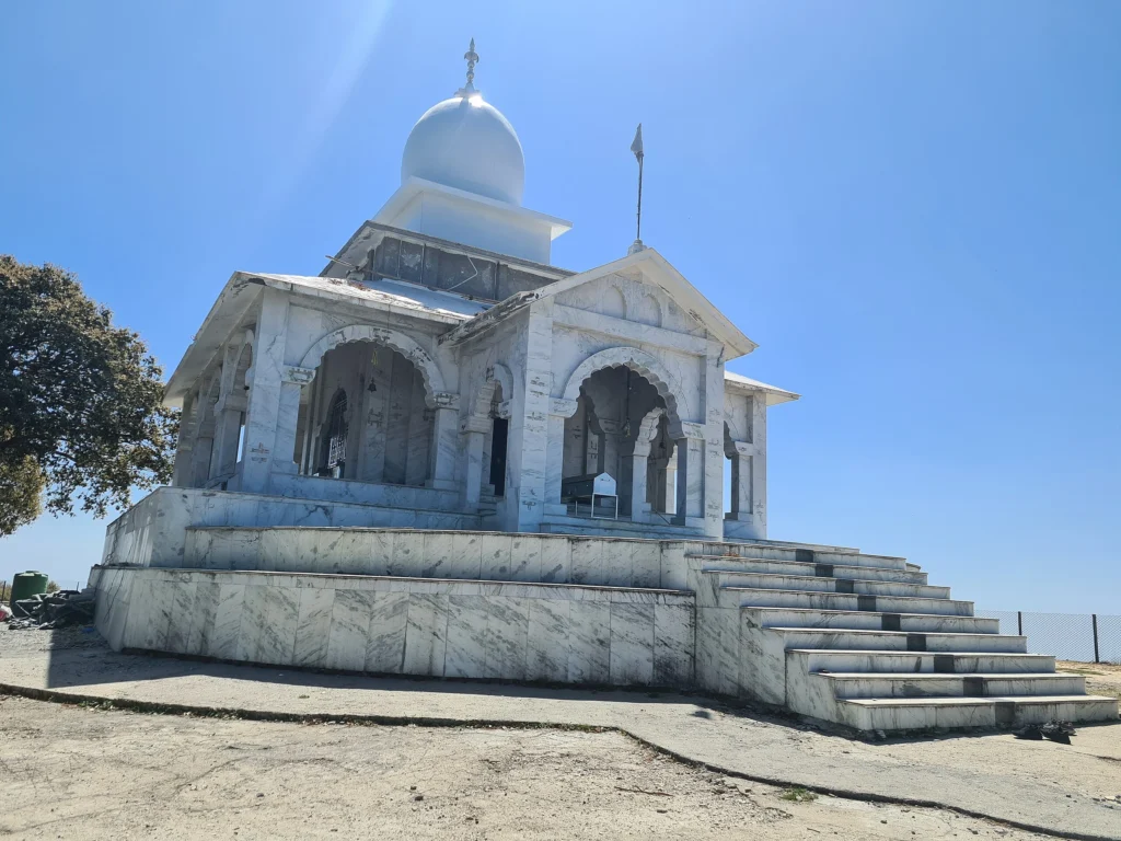
Out of the several-day treks near Dehradun, Bhadraj Hike is one of the best treks to cover within a day. Located on the outskirts of Mussoorie, Bhadraj Trek leads to the Bhadraj temple. The trek starts from the Cloud End, which is 10-12 Km distance from Mall Road, Mussoorie. Talking about the trek length, it’s actually 7 to 8 Km from Cloud End to the final point, Bhadraj Temple. Overall the Bhadraj Temple Distance from Mussoorie is 18 to 19 Km. You can come to the starting point of the Bhadraj trek, Cloud End, by taxi.
| Region | Mussoorie Range |
| Basecamp | Clouds End |
| Difficulty | Easy |
| Total Distance | 7-8 Km (One Side) |
| Altitude | 2400 m |
| Terrain Type | Cemented Trail, Downhill Trail, Oak Forests and Rocky Path |
| Ideal For | Day Hike |
| Best Season | Spring, Autumn and Winters |
| Nearest Town | Mussoorie |
Insights of Bhadraj Trek
- The Bhadraj Trek is an easy level Trek that can be covered in a day very easily. Generally, the trekkers cover this Bhadraj Trek distance of approximately 7.5 Km in 3 to 4 hours.
- You can start trekking in the early morning at 6 Am, from Clouds End, and reach the final point at approx 10 Am. And then you will have at least 5 hours to spend quality time there. Similarly, you can come to Cloud End at 7 P.m. if you start trekking and return between 3 and 4 P.m. From Cloud End onwards, you can go to Mussoorie by taxi or personal vehicle.
- When you start the trek, then it’s a cemented narrow path up to 1 Km. Beyond that, you will have to descend on the trail to reach the Dudhli Village, which is an intermediate point of the Bhadraj Trek. Passing through the Lush Oak forests, you will reach the Dudhli village after 1.5 to 2 hours. In the last 1 Km, the trek trail is a bit rocky. Hiking on this rocky trail takes a bit more time as well as requires more energy.
- As we mentioned above, the ultimate destination of the Bhadraj trek is Bhadraj Temple. Bhadraj Temple is dedicated to Balbhadra Ji, the elder brother of Lord Krishna. According to folklore, this temple of Balbhadra Ji dates back to the ancient period. Some people Hike on this trail just because of religious significance. Hence, the nature of this trek can be assumed to be religious.
- Being settled on the west of Ambari Forest, the Bhadraj Trek gives wonderful top views of the deciduous forests. Additionally, the Yamuna river flows horizontally on the north of Bhadraj temple and so, the area on the northern side of the temple looks full of greenery.
- There’s another route for this hike which starts from Koti Village. This hike is a bit steep and offers a view of the Garhwal Himalayas. During spring you get to see Rhodoendron blooms on the trail.
2) Jharipani /Kipling Trail Hike
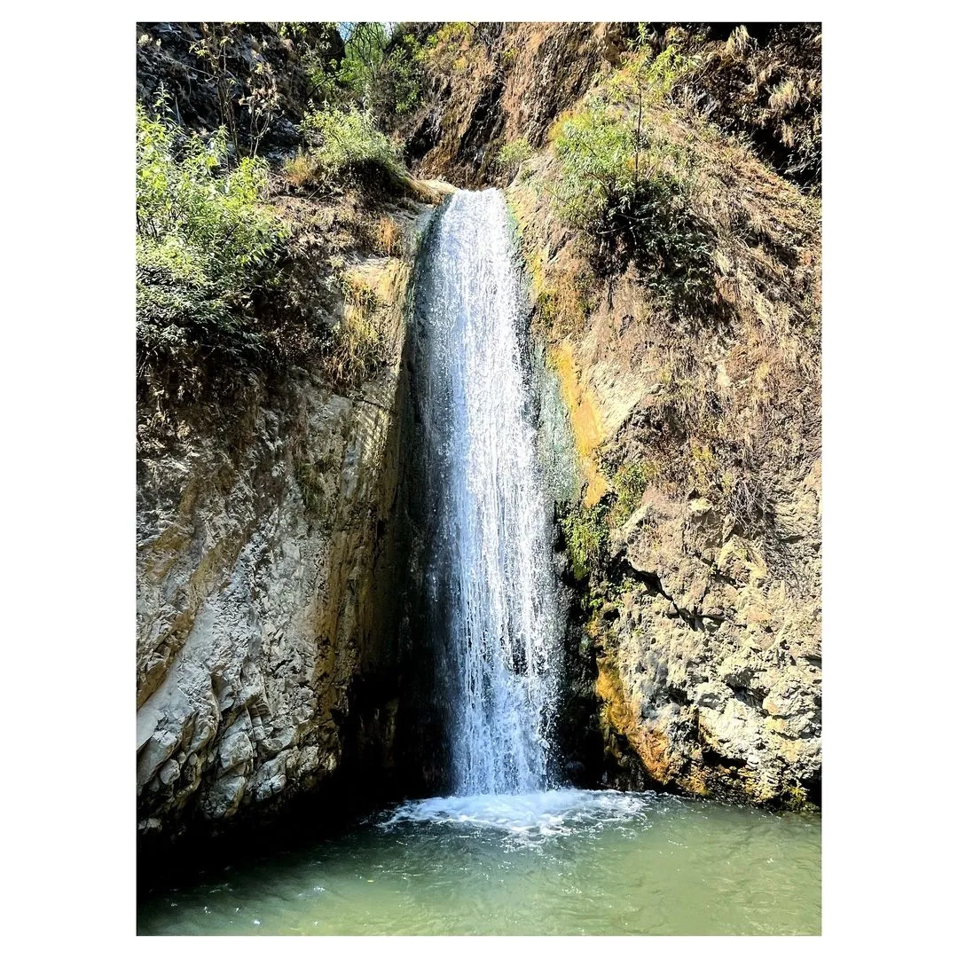
Jharipani also known as Kipling hike is another one-day trek near Dehradun that you can cover within a day. The trail length is between 6 to 7 Km, and it takes about 3 hours to reach the final spot. Hikers start hiking from the Dumal Gaon in Old Rajpur and reach the Jharipani Waterfall. The distance between Mussoorie and Dumal Gaon is 23 Km, so you should arrive at the trek starting point by taxi.
| Region | Dumal Gaon |
| Basecamp | Old Rajpur |
| Difficulty | Moderate |
| Total Distance | 6 to 7 km |
| Altitude | 2006 m |
| Terrain Type | Elevated, Challenging |
| Ideal for | Weekend Trek |
| Best Season | April or October |
| Nearest Town | Mussoorie |
Insights of Jharipani Hike
- This 6-7 km Jharipani Waterfall trek is a perfect picnic spot for the weekends. Besides the final destination, there are a few water streams on the trek route. These water streams look scenic and refreshing and reflect the cold, calm vibes.
- The people desiring to go on a trek can perceive a similar dopamine rush in this Jharipani Trek. To reach the end point of the trek, the hikers need to hike on the unmetalled and sometimes steep road. It requires an adequate energy level because the path is steep and even slippery at some points.
- The major highlight of the trek is the Jharipani Waterfall and the Shivalik mountain ranges. Along with this, it also gives a spectacular view of the Doon Valley.
- You will come across various small villages during your hike. It will surely amaze you that these peaceful villages are this near to Dehradun.
- En route, the exclusivity of the trek lies in the British Period hamlet, Barlow Ganj that falls in its way. They say that there are some resorts and houses built in the British Era, whose architecture is also inclined towards the Colonial Period.
3) George Everest Peak
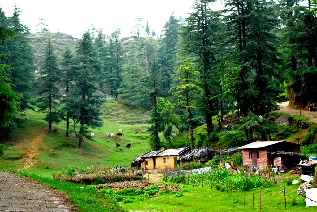
George Everest Peak Trek is one of the easiest and most favorable day hiking trails. The length of this trek is only 2.5 Km, and hence, you can climb, enjoy, and come back to the spot on the same day.
The George Everest Peak trek trail starts from the Hathipaon Chowk and ends by reaching the George Everest Peak Point. En route, there is a small delight of happiness in the form of a mini valley of flowers. From Mussoorie, the starting point of the trek is only about 4 to 5 km.
| Region | West Outskirt of Mussorie |
| Basecamp | Hathipaon Chowk |
| Difficulty | Easy |
| Total Distance | 2.5 Km |
| Ideal for | Day Trek |
| Altitude | 2005 m. |
| Terrain Type | Steep Trail |
| Best Season | April, May, October, November |
| Nearest Town | Mussoorie |
Insights of George Everest Peak Hike
- It offers a panoramic view of Doon Valley as well as serves as the best Sunrise and Sunset points for travelers.
- On reaching the top of it, the spectacular views of Bandarpoonch, Srikanth, Kalanag, Gangotri, Swargarohini peaks, and more will be on display.
- The overall trek can easily be undertaken, but a little risky at the last 1 km area of rocky and slippery terrain.
- It held great historical significance back in the time when Sir George Everest was a Surveyor General of India. However, tourists are becoming more aware of this wonderful hiking spot after the George Everest House had been turned into a cartography museum.
4) Surkanda Devi
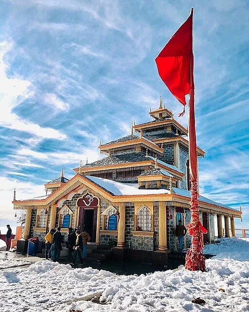
Surkanda Devi trek, a religious hike leading to none other than Surkanda Devi temple, is an ideal one-day trek. The trek to Surkanda Devi starts from Dhanaulti or Kaddukhal and has a length of approx 2.5 Km. On this trek, there are cemented stairs up to a few distance, and then the ordinary narrow trail.
| Region | Kaddukhal |
| Basecamp | Dhanaulti |
| Altitude | 2756 m. |
| Total Distance | 2.5 Km |
| Terrain Type | Stairs and Trail |
| Ideal for | Day Trek |
| Difficulty | Moderate |
| Best Season | All Season |
| Nearest Town | Dhanaulti |
Insights of Surkanda Devi Trek
- The route of this entire trek is breathtaking, with green scenes of the Rishikesh and Dehradun valleys and the snow vistas of mountains such as Bandarpoonch and Nanda Devi.
- According to Hindu Mythology, this is the same place where the head of Goddess Sati fell. Hence, it is considered one of the 51 Shakti peeth.
- Once you reach the top of the temple, you will feel an unmatched serenity present in its spiritual environment.
5) Lal Tibba Trek
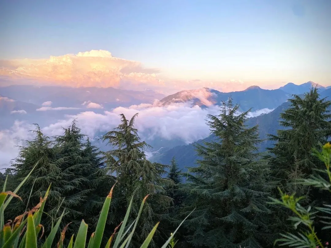
Lal Tibba Trek is another short-distance route that extends the chance of trekking for Day Hikers. It starts from the Landour and ends on the Lal Tibba Scenic Point. The distance of this trail is about 2 to 3 Km. Avoid this during weekends as there’s a lot of traffic on the roads.
| Region | Landour, Mussoorie |
| Altitude | 2275 m |
| Terrain Type | Ordinary |
| Difficulty | Easy |
| Total Distance | 2 to 3 Km |
| Basecamp | Landour |
| Best Season | All Season |
| Ideal for | Day Trek |
| Nearest Town | Landour |
Insights of Lal Tibba Trek
- In Mussoorie, the Laal Tibba hilltop is highly located at 2,275 m. It is easily accessible by hiking on a steep but well-concreted route.
- It flaunts the architecture of the Colonial Period in India. It also served as a recovery spot for the British soldiers who were caught in diseases, specifically Malaria.
- With the help of the telescope which was installed in 1967, you can also have a closer glimpse of the Badrinath, Bandarpoonch and Kedarnath peaks.
- Throughout the trek, there are multiple food stalls where you can enjoy some snacks as it is almost a 3-hour trek.
- If you start early in the morning, you will get to experience the sunrise and, after sunset, return safely to the starting point.
6) JabarKhet Nature Reserve
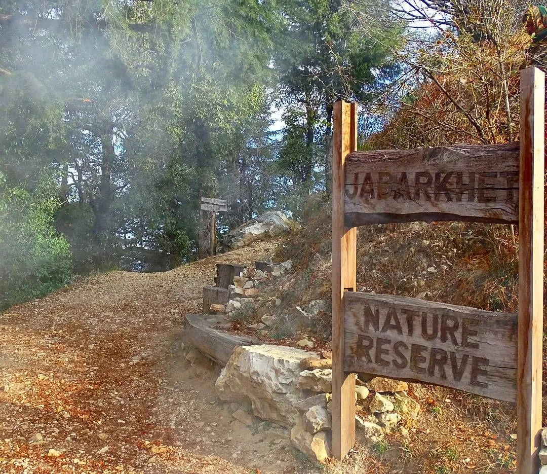
The Nature Reserve is full of greenery and animals. Jabarkhet Nature Reserve is situated on Tehri Road the north of Raipur Range. Ideally, it is on the eastern side of Landour and is a 5 Km distance from the center of Landour. So the people fond of trekking hikes on this 5 Km trail and observe the en route beauty in depth. Upon reaching the Nature Reserve, you will see various trekking trails: one is Flag Hill, Mushroom Trail, Lone Oak and the other is Leopard Trail.
| Region | Near Landour |
| Total Distance | 5 to 6 km |
| Basecamp | Landour |
| Altitude | 2120 m |
| Difficulty | Easy to Moderate |
| Terrain Type | Forested Trail |
| Ideal for | Day trek |
| Best Season | Monsoon |
| Nearest town | Landour |
Insights of JabarKhet Nature Reserve Hike
- In the Foothills of the Himalayas and at an altitude of 2120 m, JabarKhet is a short day trek that resides near the thick forest and Kolti Village.
- The total trek to the reserve is 5-6 km and its trail is covered in dry leaves, rocks and gravel.
- Inside the Nature Reserve, you will observe varieties of flowers like daisies, and wild roses. During Spring, the trek becomes more glorious with scattered flowers of Rhododendrons. Besides the flowering plants, the Nature Reserve trails are covered with deciduous and alpine trees.
- Wildlife such as the langur monkeys, the Himalayan black bear, or the barking deer are also found here.
7) Santla Devi Hike
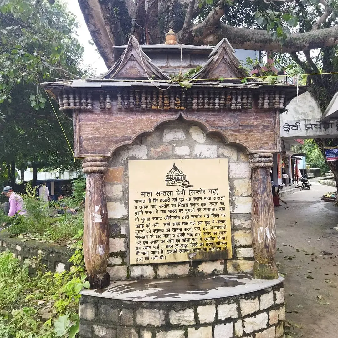
As the name reveals, the Santla Devi Trek is a trail going to the Santla Devi Temple at the top of the hill. This trek is located amid Zariwala and Galajwari, near the Nun River. This trek starts from the base point of the hill.
And it is at the 10 Km distance from Dehradun, so you can reach there in hardly 40 minutes drive.
| Region | Punkal Gaon, Galajwari |
| Altitude | 2083 m. |
| Basecamp | Dehradun |
| Total Distance | 700 Stairs |
| Difficulty | Easy to Moderate |
| Terrain Type | Upstairs |
| Ideal For | Day Trek |
| Best Season | All Season |
| Nearest Town | Dehradun |
Insights of Santla Devi Trek
- To reach the Santala Devi temple, the 700 stairs need to be climbed. Hence, It requires strong vigor and fitness.
- It hardly takes 2-3 hours to complete this overall hike therefore making it a perfect day trek.
- From the top of the temple complex, the views of Doon Valley and the Nun River are completely astounding.
- The history of the temple is related to the times of the Mughals when Santala Devi and her brother were fighting against the Mughals but they didn’t have enough equipment. So they thought of praying to God instead. And as a response, an illuminating light appeared and they suddenly turned into statues.
8) Benog Tibba Hike
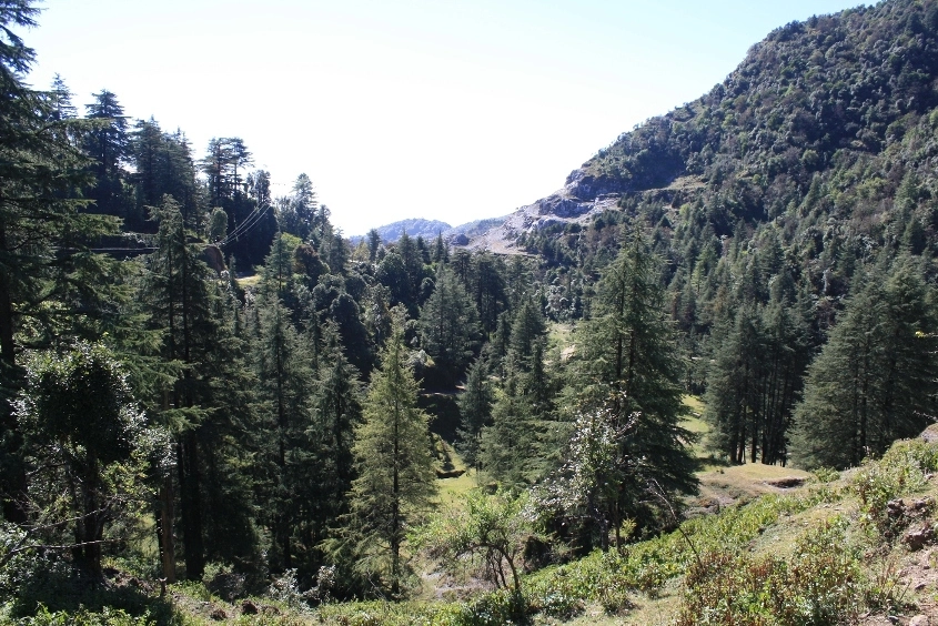
Benog Tibba Trek, a less-discovered yet more adventurous trail beginning from the Clouds End is a good day trek near Dehradun. This trail is settled in the southeast of Jaunpur Range and the west of Mussorie Range. This 8 Km trek is an elevated trail. Benog Wildlife Sanctuary was established in 1993.
| Region | Mussorie |
| Total Distance | 8 km |
| Basecamp | Cloud End |
| Altitude | 2225 m |
| Difficulty | Easy |
| Terrain Type | Challenging Trail |
| Ideal for | Day Trek |
| Best Season | Summer or Autumn |
| Nearest town | Mussoorie |
Inisghts of Benog Tibba Hike
- This 8 km trek is 2,225 m above. It would require at least 3 hours to complete.
- The route is a bit challenging. Because of the slippery mud, you will have to pay much attention while walking on the trail.
- The hike to the hilltop commences from the Cloud End forest and encompasses the dense forests of pine, oak, and walnut trees.
- The trek was established by the colonial masters in the 1820s. They also used to organize multiple game hunts here.
- Later in 1993, they founded a sanctuary with the same name to conserve the endangered flora and fauna of the vicinity.
9) Top Tibba Hike
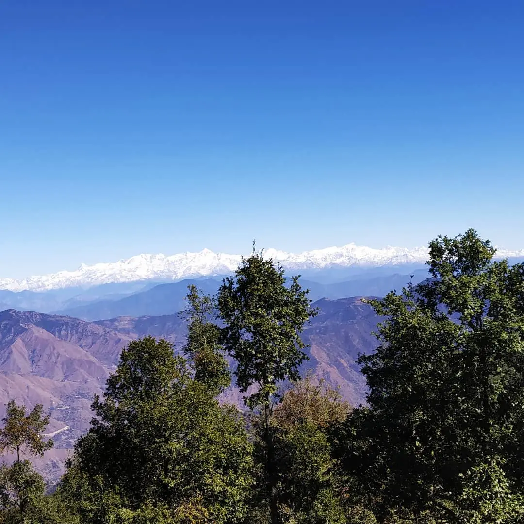
At a distance of 17 Km from Mussoorie, this moderately challenging Top Tibba Trek lies beside the Chamba Mussoorie Road. On route from Mussoorie to Top Tibba starting point, you will see the JabarKhet Nature Reserve, which itself is a good day trek. From the base point, trekkers climb on this trek of approx 5 Km. And generally, there remains less crowd on this trail.
| Region | Chamba Mussorie Rd |
| Altitude | 2590 m |
| Basecamp | Mussoorie |
| Total Distance | 7-8 Km (Full circuit) |
| Difficulty | Moderate |
| Terrain Type | Inclined Path |
| Ideal for | Day Hike |
| Best Season | Summer, Spring and Autumn |
| Nearest Town | Mussoorie |
Insights of Top Tibba Hike
- This day’s trek is considered moderate if undertaken through a well-demarcated trail. It is elevated at a height of 8,500 ft.
- A huge variety of species are found here. Leopards, Red foxes, black bear yellow-throated jungle Martins are often spotted here.
- Additionally, you will notice kites, buzzards, beagles and such birds at the top tibba.
- It offers the mesmerizing vistas of Doon Valley, the Kempty range and the snow-clad peaks of Bandarpoonch, etc.
10) Cloud’s End hike
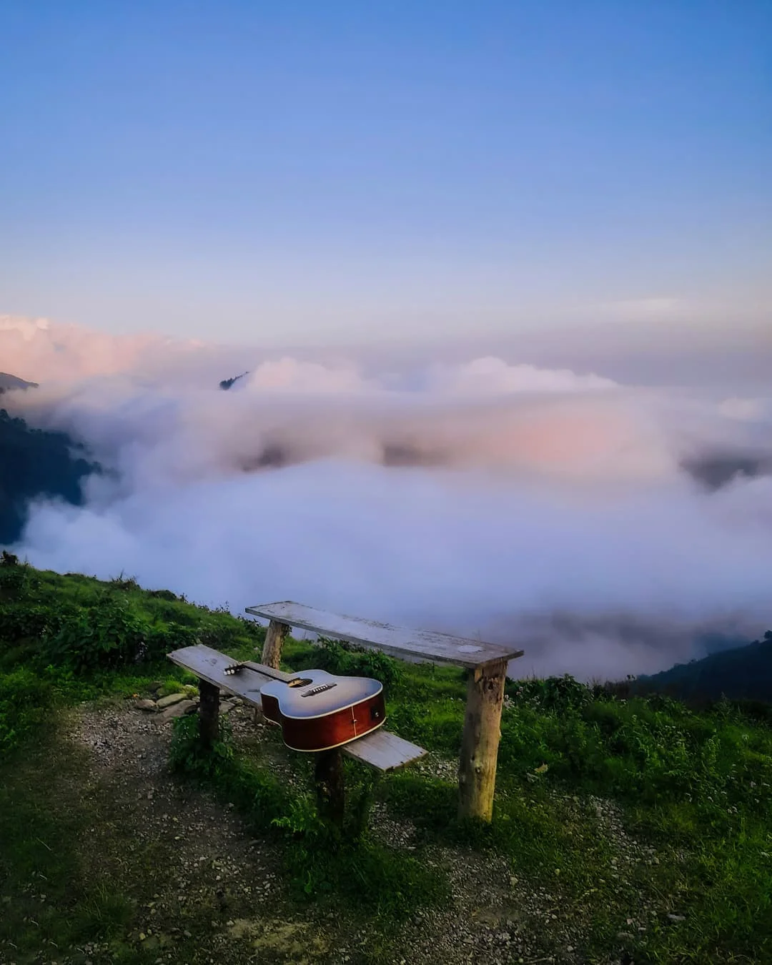
To beginners, who want to go on a day trek, the Cloud’s End hike is the one of best options. Beginning from the Mussoorie Library, it is a 6.5 km-long path to the Cloud’s End. You can either hike or drive to the Cloud end. The path is not that steep, hence you can walk this in only 2 hours.
| Region | Mussoorie |
| Total Distance | 6.5 Km |
| Basecamp | Mussoorie |
| Altitude | 2104 m |
| Difficulty | Easy |
| Terrain Type | Uphill Trail |
| Ideal for | Day Hike |
| Best Season | All Season |
Insights of Cloud’s End Hike
- The trek to the Cloud’s End in Mussoorie promotes a simple and easy hike to a building constructed by the Britishers in 1838.
- On the way to Cloud’s End, the sacred shrine of Maa Jwala Devi is located. This temple is one of the oldest temples in Mussoorie.
- From the Library bus stand, the trek starts and covers 6.5 km of trail which takes 2 to 3 hours to reach.
- From the cliff of the top, the wonderful Doon Valley and its surrounding hills are also visible.
11) Chhaskhet Hike
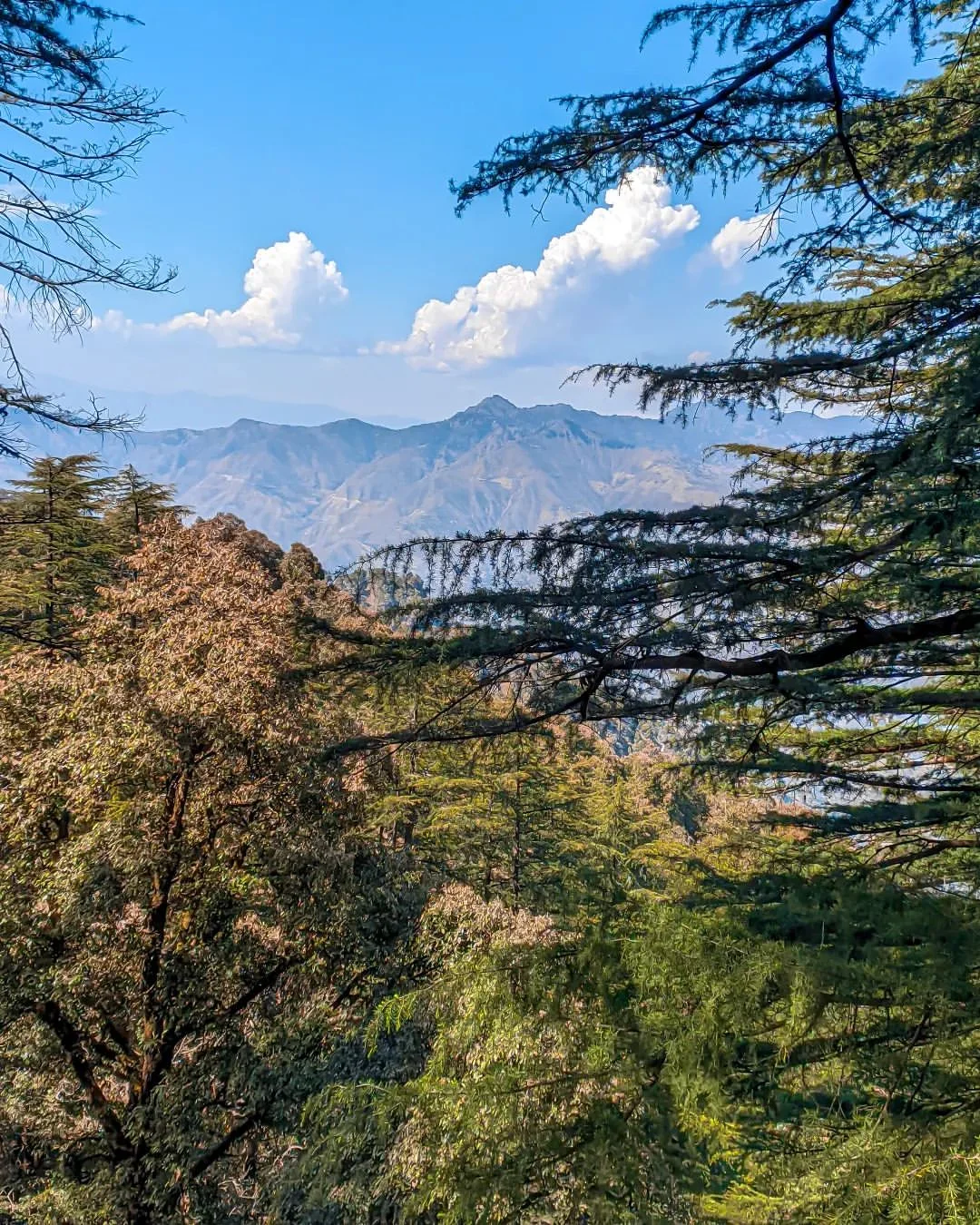
Chhaskhet trail on the outskirts of Mussoorie is located southwest of George Everest House. To trek on this trail, you have to come to Clouds End, and then it is about a 3.5 Km Hike stretch. Walking on this nature walk will give you exposure to the greener and views of the serene surroundings.
| Region | Outskirts of Mussoorie |
| Altitude | 1780 m |
| Basecamp | Cloud’s End |
| Total Distance | 3.5 Km (One side) |
| Difficulty | Easy |
| Terrain Type | Elevated Trail |
| Ideal for | Day Trek |
| Best Season | Spring, Autumn, Winters |
| Nearest Town | Mussoorie |
Insights of Chhaskhet Nature Walk
- With a stunning 360° view of the Dehradun Valley, the Chhaskhet Nature Walk is an ideal trek for a single day.
- The starting point of the trek is Cloud’s End at an approximate distance of 7-8 km.
- On completing 2 km of the trek, there comes the captivating Bulyat Bhuyal. After taking a short break here, continue your journey to the Chhaskhet village.
- The trek can be completed within 3-4 hours maximum and the trail passes through pine and oak tree forest.
12) Pari Tibba Trek
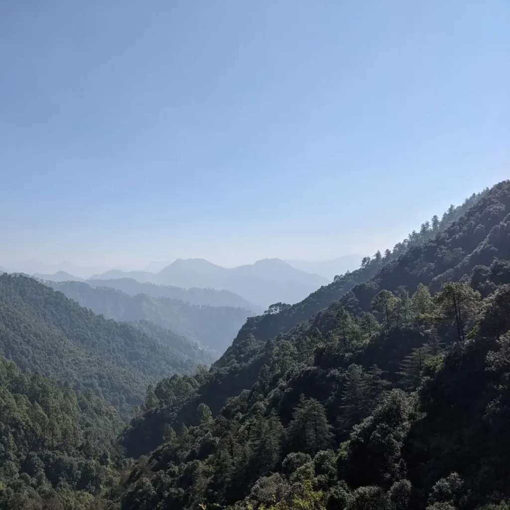
Pari Tibba Trek, famous for its mystical activities, is located on Chamsari Road near Landour 5 km away from Mussoorie. On its northeast, the JabarKhet Nature Reserve is situated and the Raipur range is on its southeast. This trek is a considerable trail for the people wishing to go on a day hike. If you start hiking with your friends in the early morning, then you will easily reach there by 8 or 9 am, and then the whole day for adventure and fun is yours. But you should be aware of returning trekking on time so that you can reach your base camp safely before the darkness. The trail for this hike starts from Wood Stock School. It’s a gentle 2 km ascent to Pari Tibba.
| Region | Landour |
| Altitude | 2057 m. |
| Distance | 4 Km (Out and Back) |
| Difficulty | Easy |
| Terrain | Forested |
| Ideal for | Day Hike |
| Best Season | Spring, Autumn, Winter |
| Nearest Town | Mussoorie |
Insights of Pari Tibba Trek
- Known as the Hill of Fairies, Pari Tibba Trek is a trail that awakens curiosity and exciting energy in trekkers. The name of the trek itself is something that depicts its connection with many years old stories.
- Apart from the mysticism, there is a Hindu Temple on the Tibba, and it’s visited by many travellers often. This temple painted in white colour offers a wide view of the sky and forest. And it looks even more heart-enriching if you reach there during Sunrise.
- The trail to Pari Tibba is mostly covered with dry tree leaves so it feels soft to trek on. Though, somewhere the trail is hard and tough to climb. But overall it’s doable on the same day and has enough attractive enroute and final points to make you feel satisfied.
Best Treks Near Dehradun
13) Nag Tibba Trek
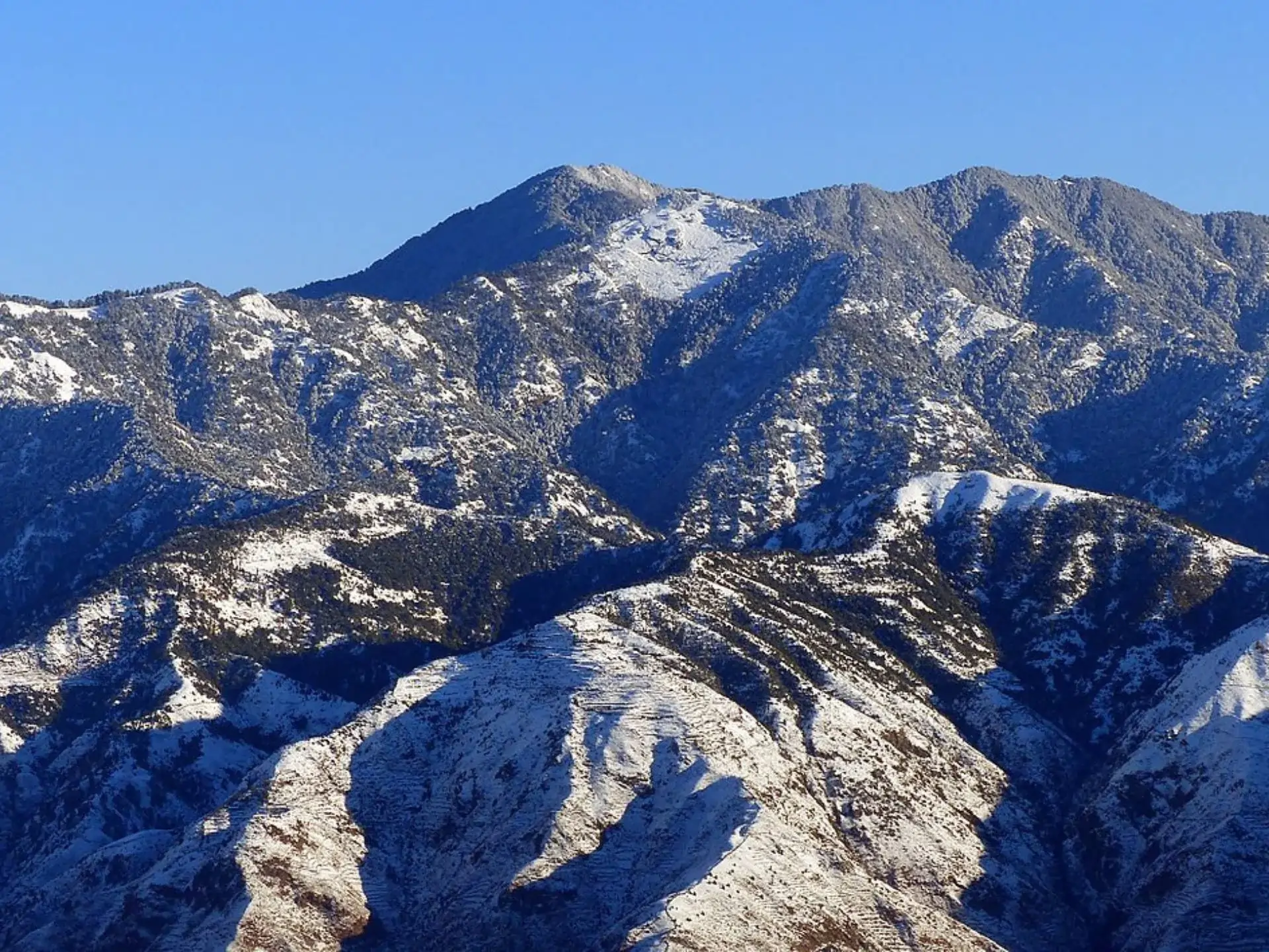
Nag Tibba Trek, reflecting the Nag Devta Significance in Hinduism is a 6 Km lengthy trail amid the Jaunpur Range of lower Himalayas. The tourists find this trek a perfect one for the purpose of going on a day’s adventure with their group. Talking about its location, it is settled beyond Pantwari Hamlet and so the starting point of the trek is Pantwari itself. Further, it’s on the southern side of Dulleshwar Mahadev Temple and the trek to the Nag Tibba goes through the lush forest of Jaunpur range. You can easily cover the Nag Tibba trek on the same day. Additionally, if you start the trek early in the morning, then you will get the golden chance to witness the beautiful sunrise from the peak point.
| Region | Jaunpur Range |
| Basecamp | Pantwari |
| Altitude | 3050 m |
| Total Distance | 7 km |
| Difficulty | Easy |
| Terrain | Forested Trail |
| Best Season | Spring, Autumn, Winter, Summers |
| Ideal For | Day Hike |
| Nearest Town | Mussoorie |
Insights of Nag Tibba Trek
- The trek to Nag Tibba either starts from Dehradun or Mussoorie. The endpoint of the trek is elevated at 3,050 m.
- The peak of Nag Tibba is considered the highest peak of the Mussoorie Range and hence offers spectacular views of multiple mountain ranges such as Kala Nag, Swargrohini, Shrikanth, and Bandarpoonch.
- On its North, you’ll get to witness the unmatched beauty of the Doon Valley and the Kedarnath Peak as well.
- This Trek is also connected with the mythology of Nag Devta. The Locals exchange the folktales that are the residence of Naag Devta who is believed to be the deity of Snakes.
- On the route of the trek, you will see the thick birch and straight-trunk trees, which will adorn the trail with more nomadic and forest vibes. And there you will be accompanied by spotted deer, monkeys, langurs, beetles, butterflies, and some colorful migratory birds.
14) Deoban Trek
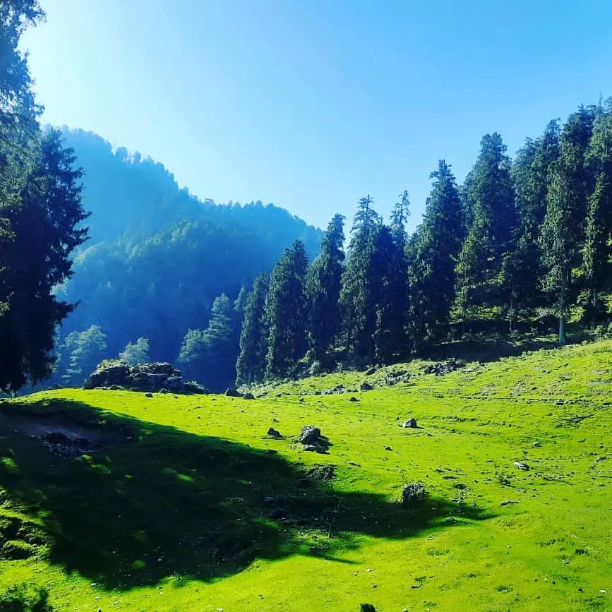
Deoban Trek, located near Moila Top and Himachal Border is a good, peaceful trail to plan the weekend or occasional day hiking. It starts from the Lokhandi, and the total distance of the trek is approximately 9 Km. En route, after walking for 2-3 Km, trekkers find the Kanasar range on the right side of the trail. The location of this Deoban is extremely rich. The entire northern belt above this has forest ranges like Undawa Forest, Rikhand Forest, and Baniyana Forest. Various birds can be found during your trek and this trail is a good option for Birdwatching. The highest point of this trail is Vyas Point from where you can get a view of the Garhwal Himalayas, Nanda Devi Ranges, and Kumaon Himalayas. So whoever wants to trek for a place enveloped with forests, then it’s the ideal location.
| Region | Near Chakrata |
| Altitude | 2865 m |
| Distance | 8 Km |
| Basecamp | Chakrata |
| Ideal For | Day Trek |
| Best Season | Spring, Autumn, Winter, Summer |
| Terrain | Green and Forested Trail |
| Difficulty | Easy |
| Nearest Town | Chakrata |
Insights of Deoban Trek
- The trek to Deoban begins near Chakrata. The route of the trek looks like a G shape, and can easily be trailed if you have given enough attention to guide instructions.
- From the peak of the hike, you can enjoy the panoramic view of 55 mountain peaks. Among these, the highest mountain in India, Nanda Devi, is the one.
- Some parts of the trail are heavily covered with deodar Forests. And for the same reason, it has been named Deoban, “The Forest of Deodars”.
- During winters, snow drapes all over the green meadow and turns it into a snow beauty. At this time of the year, the trekking gets more adventurous and worth doing, but you need to be prepared for a winter trek.
15) Devalsari Trek
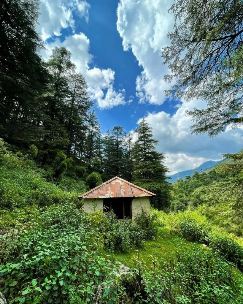
Devalsari Trek placed in the southeast of Nag Tibba Trek is a short, delightful and coverable within same day trail. The trek starts from the Thatyur, and the entire trail is about 7 Km long. Those 4 hours of trekking will feel worth it when you see Titli Park beside your final destination. In this area of Devalsari, there are at least 50 species of butterflies and so it’s one of the main reasons why people trek to this point.
Besides this, the Devalsari Trek is located in a forest range in the northeast of Mussoorie. To reach the starting point Thatyur, you should come by taxi as it’s about 35 Km away from Mussoorie.
| Region | Pujaldi |
| Altitude | 1722 m |
| Basecamp | Thatyur |
| Total Distance | 7 Km |
| Difficulty | Easy |
| Ideal For | Day Trek or Picnic Trek |
| Best Season | All Year |
| Terrain | Forested and Easy Trail |
| Nearest Town | Mussoorie |
Insights of Devalsari Trek
- In the Tehri district, the Devalsari trek is relatively easy but requires some fitness training before starting.
- It is elevated at 1,722 m and hence offers the scenic beauty of Kala Nag, Bandarpoonch, Kedarnath, Gangotri, and such peaks. Additionally, the delightful Doon Valley can also be seen from here.
- While encompassing a rich variety of Flora and fauna throughout its route, the Rhododendrons and oaks are more prevalent.
- Devalsari trek is famous for its ancient Shiv Mandir which is believed to have been built around the 1600s.
- From Devalsari there’s trail that leads all the way to Nag Tibba. You can opt for this trail also if you want to explore something new and cover these two places in one go.
Map of hikes and treks
Summary
In this article, we have introduced you to 11 perfect trails for a day trek near Dehradun. Almost all the treks lie either near the Mussorie or near the Dehradun. Some of the treks are a bit challenging due to the steep slippery ridge however most of the treks are easy ones. In a nutshell, most of these treks are perfect for a picnic, family get-together, special occasion trekking, or religious hiking. We hope that the information provided by us will help you in planning the trekking with friends and family for the same-day trail on weekends.

Leave a Comment