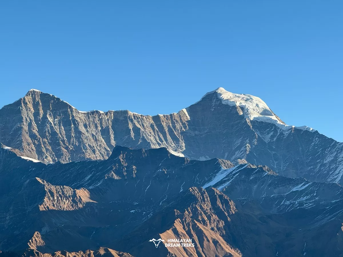
Every November, the same question lands in trekking group chats: will it snow this year? This time we don’t have to guess. A very strong El Niño is building in the Pacific and scientists have studied what that does to Himalayan snow for decades. This guide covers the Western Himalaya (Himachal Pradesh, Uttarakhand, and Jammu & Kashmir) for the winter of 2026–27.
The Short Answer
The research says to expect a more active, stormier winter than the last few, with a better chance of heavy snow at high altitudes. It does not promise a snowy winter everywhere. Warming and a few other factors can still turn snow into rain at lower hill stations.
Here is why.
What Is Happening in the Pacific Right Now?
El Niño means the eastern Pacific Ocean is unusually warm. NOAA’s Climate Prediction Center (ENSO Diagnostic Discussion, 12 November 2026)1 says El Niño is still strengthening, and a strong-to-very strong El Niño is likely through January-March 2027, with a chance above 79%. The warmth is strongest in the east: the Niño-3 index reads +3.6°C and Niño-1+2 reads +4.4°C. That detail matters, as you will see below. NOAA also says El Niño should begin to weaken in early 2027.
How Does El Niño Change Snow in the Himalayas?
Himalayan winter snow doesn’t come from the monsoon. It comes from western disturbances, which are storms that travel in from the Mediterranean side. A 2025 review in Weather and Climate Dynamics2 describes them as eastward-moving upper-level troughs that draw moisture mainly from the Arabian Sea and bring precipitation to the western Himalaya, Karakoram and Hindu Kush. They provide most of the region’s winter precipitation.

So the real question is what El Niño does to those storms. The research gives a clear answer:
- A study in Global and Planetary Change on ScienceDirect3 found that eastern Pacific El Niño warms the western Indian Ocean, which shifts and strengthens the subtropical westerly jet over northern India. A stronger jet intensifies the western disturbances and brings excess precipitation. This year’s warmth is strongest in the east, which is the type this study links to extra precipitation.
- Another ScienceDirect paper on Northwest India winter precipitation (1901–2013)4 agrees: in the warm phase of ENSO, the Asian westerly jet intensifies and shifts to lower latitudes, which strengthens the western disturbances.
- A 2025 study in Advances in Atmospheric Sciences5 found more intense western disturbances south of their usual latitudes during El Niño.
- The Weather and Climate Dynamics review6 says there is very high confidence that winter precipitation is greater over the western Himalaya during El Niño.
So the science points in one direction: El Niño tilts the odds toward more snow-bringing storms.
The Catch: El Niño Is Not a Guarantee

The same review adds a careful note. Studies agree the link is positive, but they usually find the correlations weak or not statistically significant. NOAA says the same about its own forecast: even with a very strong El Niño, impacts are more likely, but not guaranteed.
The last strong El Niño winter shows why. In 2023–24, there was virtually no snowfall in the western Himalayas in January, and December precipitation was down 79%.7 ICIMOD scientists said warm temperature anomalies had weakened and delayed the western disturbances.8 So El Niño helps, but it is one factor among several.
Another factor is the North Atlantic and Arctic pattern. The study of Northwest India9 found that winter precipitation increases with the positive phase of AO/NAO and the warm phase of ENSO. We can’t know the AO/NAO phase this far ahead, which is why the forecast stays uncertain.
Why Warming Matters as Much as the Storms
Even a good storm needs cold air to make snow. Warming is shifting precipitation from snow to rain in high mountain areas like the Himalaya, raising the snowline and shortening how long snow stays on the ground. At mid-elevations, rising temperatures can mean rain instead of snow.
The long-term numbers back this up. A study using Landsat data estimated a 13% decline in perennial snow and ice across the Hindu Kush Himalaya from 2001 to 2021 and an average loss of about five snow cover days per decade.
Last winter was poor too: ICIMOD’s April 2026 report found snow cover 27.8% below the long-term average, the fourth straight year below normal.10
We start this winter from a low base, so even a decent season may only bring us back toward normal.
So, How Much Snow Should You Expect?

Science can’t predict snow depth in centimetres months ahead, and this article doesn’t try to. Combining the findings above, here is a fair reading:
- High altitudes (about 3,000 m and above, such as Lahaul-Spiti, Gulmarg and winter-trek trails): the best odds for solid snow spells, because the storms are likely to be stronger and it is cold enough.
- Mid hills (around 2,000 to 2,500 m, such as Shimla, Manali and Mussoorie): the most sensitive to temperature. Expect some snowy days, and also the risk of rain when a storm arrives warm.
- Lower hills: snow is unlikely to be reliable here, as it hasn’t been in recent years.
This is an interpretation of the research, not an official forecast.
How to Plan Your Trek
- Book flexible dates and refundable stays, because snow comes in spells rather than all winter.
- Check the IMD forecast before you leave, and watch for western disturbance alerts a few days ahead. IMD publishes seasonal outlooks ahead of winter, so look for the 2026–27 outlook in the coming weeks.
- Aim higher if snow is your goal. Pick a location above 2,500 m. Dayara Bugyal, Kuari Pass, Gulabi Kantha and most major winter treks are above 3,000m.
- Keep in touch with Himalayan Dream Treks team as we keep sharing the weather details. We will help you plan your winter trek on most possible dates with snowfall.
- Keep a backup plan in case roads close, or the storm skips your area.
Quick FAQs
Will El Niño bring more snow to Himachal and Uttarakhand? The research says it raises the odds of more western disturbances and more winter precipitation. It doesn’t guarantee snow.
Will Shimla or Manali get snow this winter?
They can, but at those heights it depends on temperature. Expect some chances, not certainty.
When will we know more? NOAA’s next El Niño update is due on December 10. Check short-range IMD alerts closer to your travel dates.
References
- https://www.cpc.ncep.noaa.gov/products/analysis_monitoring/enso_advisory/ensodisc.shtml ↩︎
- https://wcd.copernicus.org/articles/6/43/2025/ ↩︎
- https://www.sciencedirect.com/science/article/abs/pii/S0921818113001094 ↩︎
- https://www.sciencedirect.com/science/article/abs/pii/S0921818116304738 ↩︎
- https://doi.org/10.1007/s00376-024-4057-2 ↩︎
- https://wcd.copernicus.org/articles/6/43/2025/ ↩︎
- https://www.rfa.org/english/news/environment/tibet-snowless-winter-01232024144224.html ↩︎
- https://blog.icimod.org/cryosphere-water-risks/cryosphere-water-record-low-snowfall-sounds-alarm-for-water-security-in-the-hindu-kush-himalaya/ ↩︎
- https://www.sciencedirect.com/science/article/abs/pii/S0921818116304738 ↩︎
- https://www.icimod.org/press-release/hindu-kush-himalaya-snowpack-crashes-to-record-low-for-fourth-straight-year-water-shortages-imminent/ ↩︎

Leave a Comment