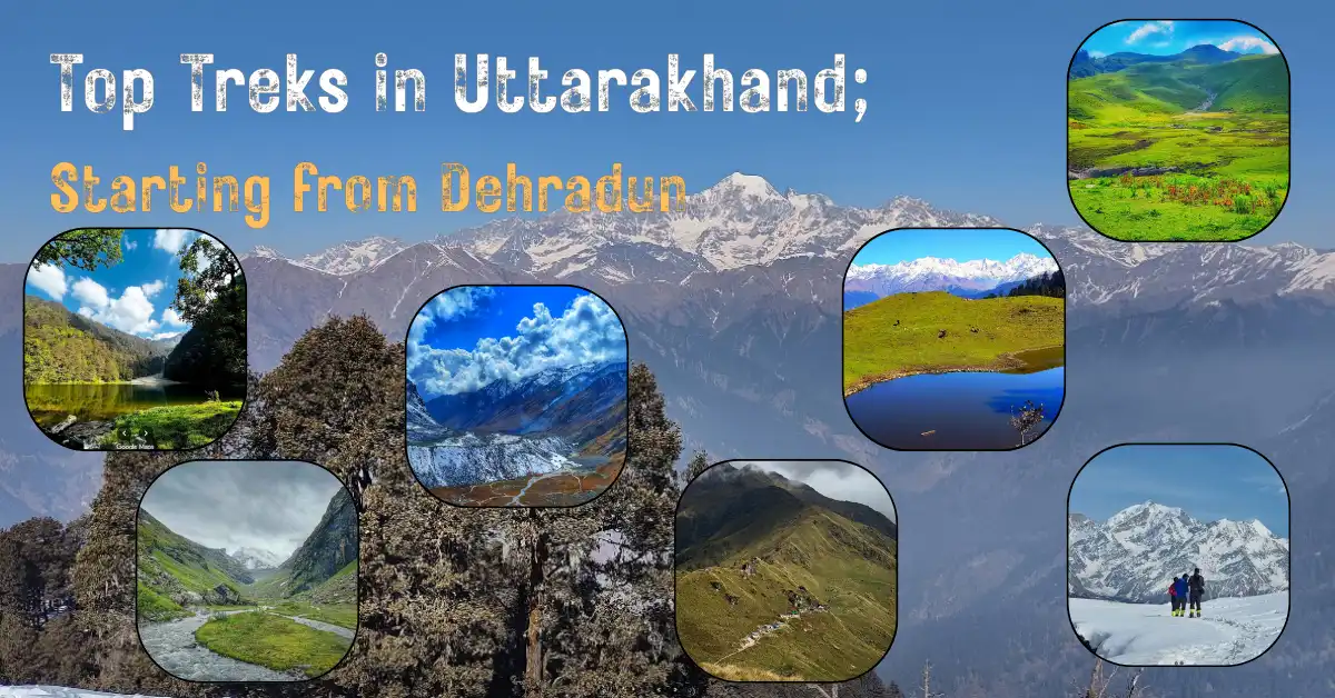
Uttarakhand, often called Devbhoomi or the land of gods, stands quietly in the foothills of the Himalayas as one of India’s most important pilgrimage destinations and adventure landscapes. Known globally for sites like Kedarnath and the Char Dham Yatra, the state also carries a strong identity as a mountainous region shaped by high peaks, forests, rivers, and remote meadows.
For trekkers, Uttarakhand is a paradise for thrilling adventures due to numerous treks. National parks, alpine valleys, and deep forest trails sit close to motorable roads, making access easier for any support for outdoor activity. Trekking here means walking through a land defined by diverse culture, rich heritage, and breathtaking natural beauty. From summer meadows to snow-covered passes, the experience changes every few kilometres.
This blog focuses only on some of top treks in Uttarakhand starting from Dehradun city, where many of the state’s most iconic Himalayan routes begin.
List of Top Treks in Uttarakhand Starting from Dehradun
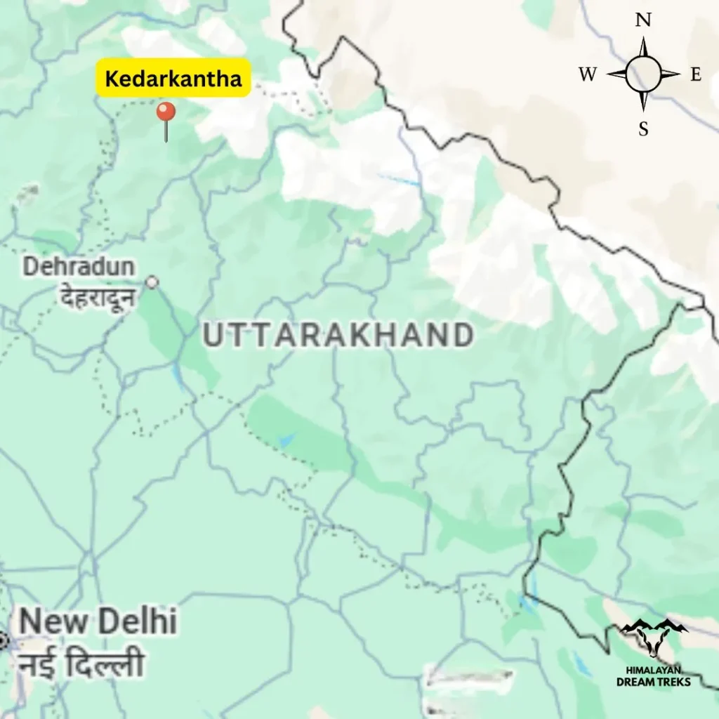
1. Kedarkantha Trek, Sankri

The Kedarkantha peak lies within Govind Wildlife Sanctuary and National Park in Uttarkashi district. The trek provides panoramic views of the Garhwal Himalayas including Mt Swargarohini, Mt Bandarpoonch, Black Peak and other mountain ranges. The trail is mostly gradual and remains within forest sections of pine, rhododendron, and deodar. There is a small lake within the forest which gets frozen in the peak winter season and becomes an attraction for nature lovers. The trail is mostly easy but people talk a lot about its thrilling summit climb which is not a technical climb but exhaustive if not prepared physically. The sunrise view is so perfect from the summit and for that moment trekkers often start midnight trekking from the advanced base camp (Kedarkantha Base Camp). From there the trail is around 2–3 km steep. Overall it is a perfect destination to spend time in the lap of nature.
Facts to Know
- Best Time: All year except monsoon
- Difficulty: (5/10) Easy to Moderate, suitable for beginners with basic fitness
- Popularity: 9/10
- Trek Distance & Duration: ~20 km, 5–6 days
- Max Altitude: ~3,810 m (12,500 ft)
- Basecamp: Sankri (1,950 m)
- Drive Distance: ~210 km from Dehradun
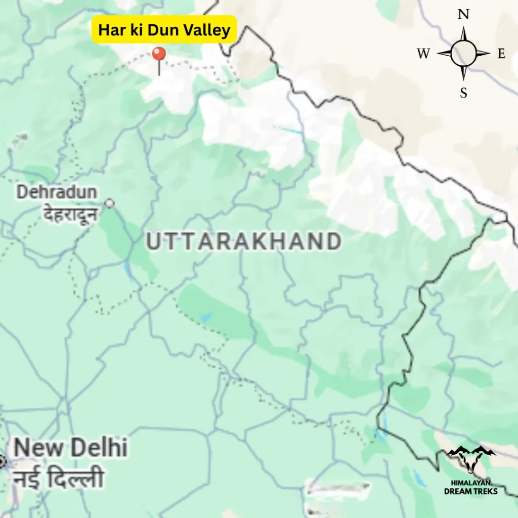
2. Har Ki Dun Trek, Sankri
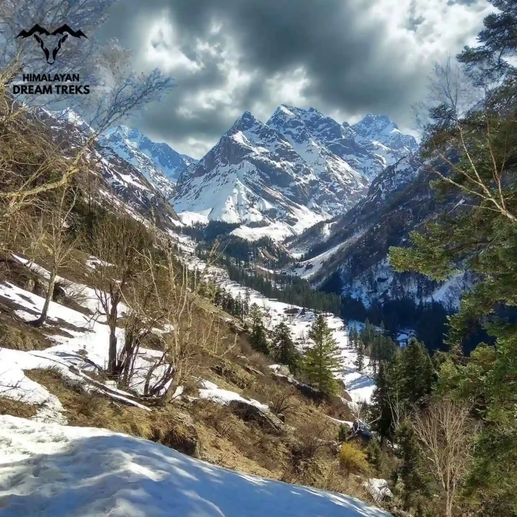
Har ki Dun trek also lies within Govind Wildlife Sanctuary and National Park. If you want destinations to experience remote villages in the Himalayas, Har ki Dun valley would be one of them. It’s a cradle-shaped beautiful valley surrounded by Hata peaks and Swargarohini. The trek is considered one of the oldest treks in Uttarakhand Himalayas. The valley got its popularity as a trekking destination when famous mountaineers Tenzing Norgay and Jack Gibson visited the valley in 1937 during their Bandarpunch expedition. Although the monsoon season is generally avoided for trekking, this is the time when the entire valley comes alive with local festivals and traditions, offering a deeper cultural experience.
Facts to Know
- Best Time: Spring, Summer and Autumn
- Difficulty: (5/10) Easy to Moderate, suitable for families, beginners and regular trekkers
- Popularity: 8/10
- Trek Distance & Duration: ~34 km, 6–7 days
- Max Altitude: ~3,566 m
- Basecamp: Sankri (1,950 m)
- Drive Distance: ~210 km from Dehradun
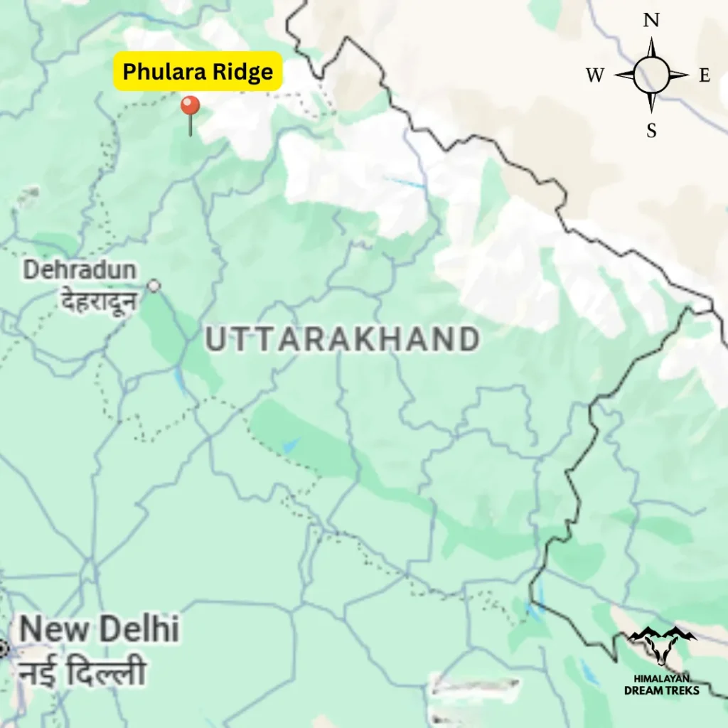
3. Phulara Ridge Trek, Sankri
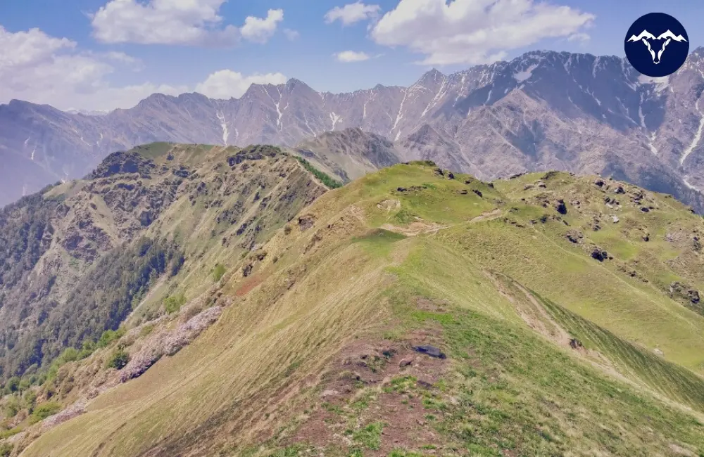
It’s a ridge trek in Uttarakhand that goes alongside the Kedarkantha summit route. At first you walk on the path that takes you to Juda Ka Talab, then take a turn towards the ridge. What is different about Phulara Ridge trek is that it is not about getting to the top of a mountain but more about walking along a high ridge. You will see a lot of pine, deodar and maple trees throughout the trek. Once on the ridge, the path opens up with deep valleys on both sides and clear views of peaks like Swargarohini and Black Peak. The terrain feels exposed but remains non-technical and stable, making it ideal for hikers who prefer long, scenic ridge walks over short, steep summit climbs.
Facts to Know
- Best Time: Summer and Autumn
- Difficulty: Easy to Moderate (4/10)
- Popularity: 4/10
- Trek Distance & Duration: ~32 km, 5–6 days
- Max Altitude: ~3,700 m
- Basecamp: Sankri (1,950 m)
- Drive Distance: ~210 km from Dehradun
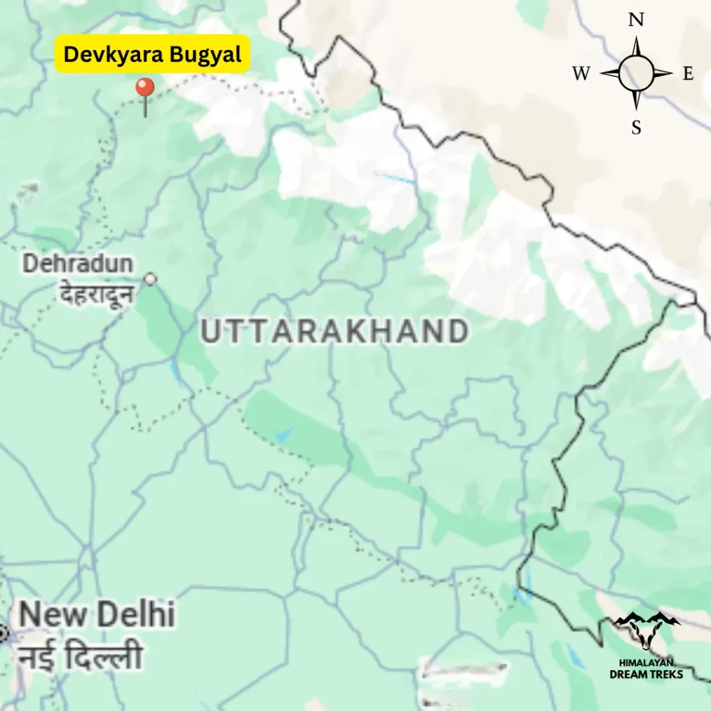
4. Dev Kyara Trek, Sankri
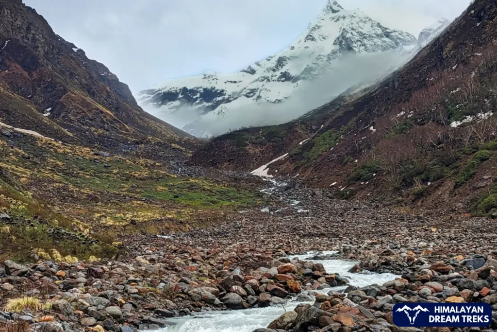
Dev Kyara remains one of the quieter alpine valley treks in Uttarakhand. The trail passes through dense vegetation, wooden bridges, and wide grasslands before entering a large open meadow surrounded by mountain peaks. Walking through this section is typically easy, but the remoteness makes it feel serious. You can camp there for the night, and the silence becomes part of the experience. The valley feels untouched, and that is exactly why it appeals to experienced nature lovers.
Facts to Know
- Best Time: Summer and Autumn
- Difficulty: Moderate (5/10)
- Popularity: 1/10
- Trek Distance & Duration: ~30 km, 6–7 days
- Max Altitude: ~4,000 m
- Basecamp: Sankri (1,950 m)
- Drive Distance: ~210 km from Dehradun
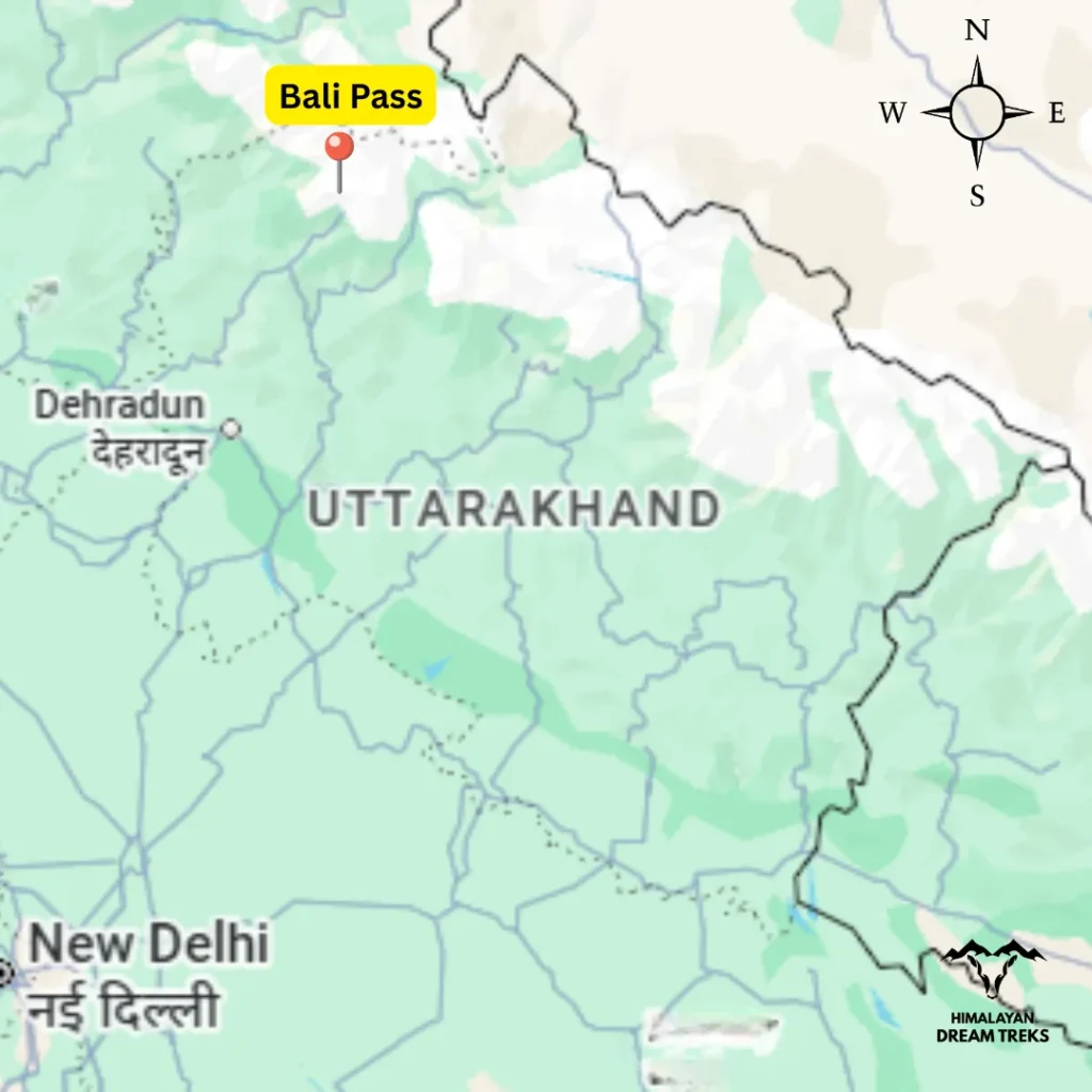
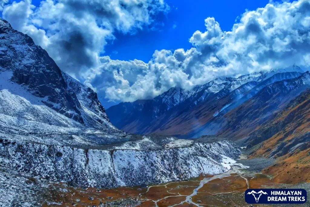
5. Bali Pass Trek, Sankri

Bali Pass trek demands attention from the first day. The trail connects Har Ki Dun Valley with the Yamunotri region, moving through the diverse terrain of Govind National Park. Long walking hours, steep ascents, and thinning vegetation mark the approach, as forest trails give way to rocky slopes and glacial sections. Along the route, trekkers pass serene alpine lakes like Ruinsara Tal and wide alpine meadows before reaching the high-altitude pass crossing, which remains the most demanding part of the trek. From the upper sections, the trail offers panoramic views of Swargarohini, Bandarpoonch, and Kala Nag peaks. The crossing leads toward the Yamunotri side, adding a quiet spiritual connection to the journey and leaving a strong sense of achievement rather than comfort.
Facts to Know
- Best Time: Summer and Autumn
- Difficulty: Moderate to Difficult (8/10)
- Popularity: 5/10
- Trek Distance & Duration: ~60 km, 7–8 days
- Max Altitude: ~4,938 m (16,200 ft)
- Basecamp: Sankri (1,950 m)
- Drive Distance: ~210 km from Dehradun
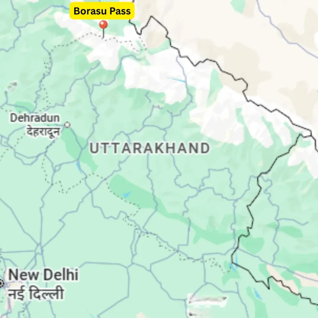
6. Borasu Pass Trek, Sankri
Borasu Pass is a high-altitude crossover trek in the Garhwal Himalayas, and it connects the Har Ki Dun region of Uttarakhand with the Baspa Valley of Himachal Pradesh. The journey begins from the Supin valley side and gradually moves through forest trails, alpine meadows, and remote camps, before rising toward glacial terrain near the pass. As the trail gains height, vegetation thins out, and wide valleys, ice fields, and mountain ridges begin to dominate the landscape. The Borasu Pass crossing itself is long and demanding, and it requires careful movement over snow and glacier sections. Throughout the trek, views of Swargarohini, and surrounding Himalayan ranges remain constant. It is a serious route suited only for experienced trekkers seeking isolation and scale.
Facts to Know
- Best Time: Summer and Autumn
- Difficulty: Difficult (9/10)
- Popularity: 2/10
- Trek Distance & Duration: ~85 km, 10–11 days
- Max Altitude: ~5,450 m
- Basecamp: Sankri (1,950 m)
- Drive Distance: ~210 km from Dehradun
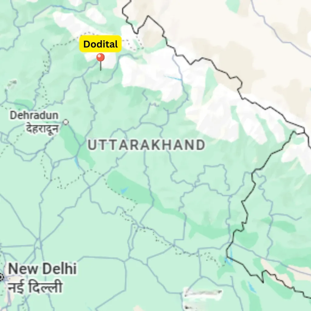
7. Dodital & Darwa Top Trek, Uttarkashi
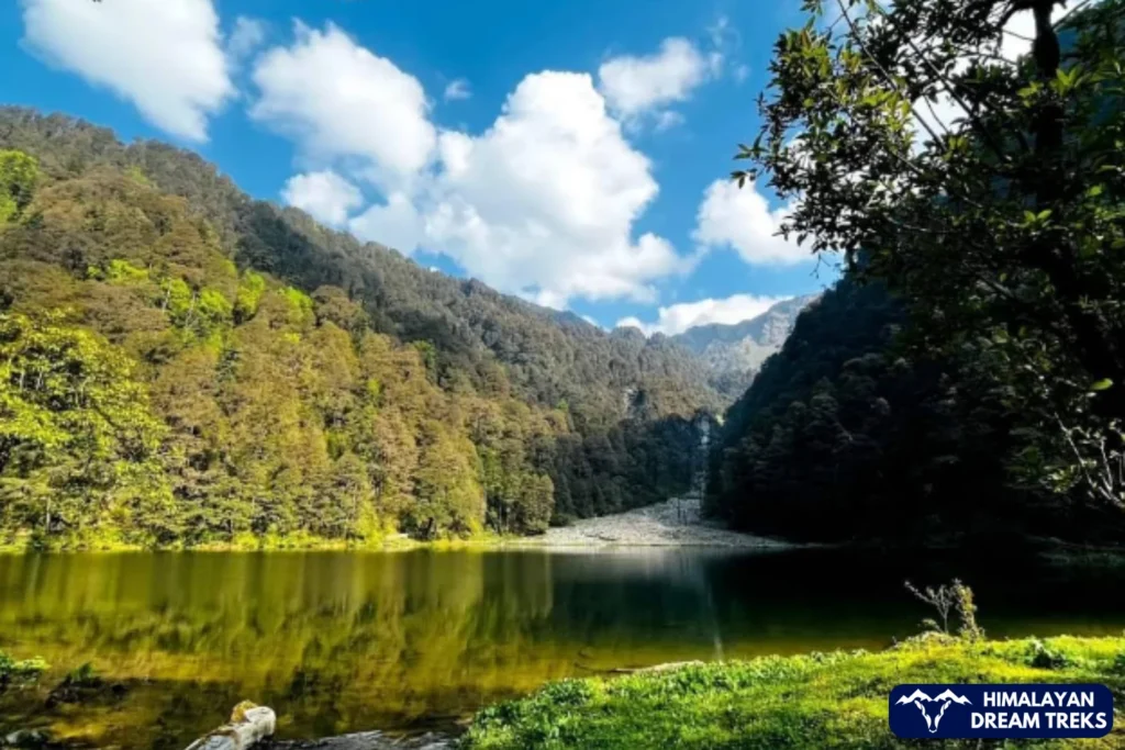
Dodital trek moves through forest paths and slowly builds toward a calm alpine lake. The trail passes through dense woodland, where bird calls stay with you as you walk, and birdwatching becomes part of the experience without effort. Dodital appears quietly after a steady walk of about 13 km and sits enclosed by trees, so the place feels peaceful and untouched.
Dodital is a freshwater lake and also the natural home of Himalayan trout, and even today, its exact depth has never been measured. Near the lake, there is a small temple dedicated to Lord Ganesh, which adds a gentle spiritual presence to the setting. From Dodital, the climb toward Darwa Top is short but steep, and once you reach the top, open mountain views take over. Because of its forest sections, gentle pace, and manageable climbs, this trek works well for families with kids.
Facts to Know
- Best Time: Summer and Autumn
- Difficulty: Easy to Moderate (4/10)
- Popularity: 6/10
- Trek Distance & Duration: ~32 km, 5–6 days
- Max Altitude: 10,100 ft at Dodital, 12,500 ft at Darwa Top
- Basecamp: Sangam Chatti (1,350 m)
- Drive Distance: ~190 km from Dehradun
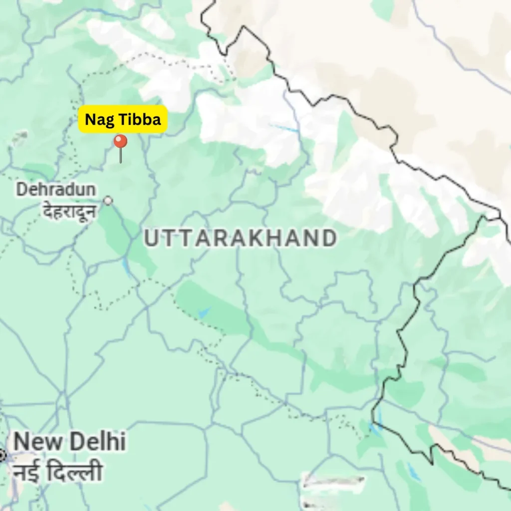
8. Nag Tibba Trek, Mussoorie
Nag Tibba is a compact trek of just two days, and because of its short duration, it fits well into quick travel plans and weekend breaks. The trail climbs steadily through forest paths and along village edges, and as you gain height, it slowly opens out toward the summit ridge. While some sections feel steep, the overall distance is short, so the climb remains manageable even for beginners. From the top, you can get a clear view of the Himalayan peaks including Bandarpoonch, Swargarohini, Black Peak, and other mountain ranges on clear days. Along the way, the trail also leads to the Nag Devta Temple, which adds a cultural stop to the walk. In the evening, the Kathian campsite becomes a highlight, as the sunset settles over the surrounding hills and forests. Because it requires only a couple of days and stays close to major towns, Nag Tibba works especially well for first-time trekkers and for weekend travellers coming from Delhi and Dehradun.
Facts to Know
- Best Time: All year except monsoon
- Difficulty: Easy (3/10)
- Popularity: 8/10
- Trek Distance & Duration: ~18 km, 2–3 days
- Max Altitude: ~3,022 m
- Basecamp: Pantwari (1,400 m)
- Drive Distance: ~100 km from Dehradun
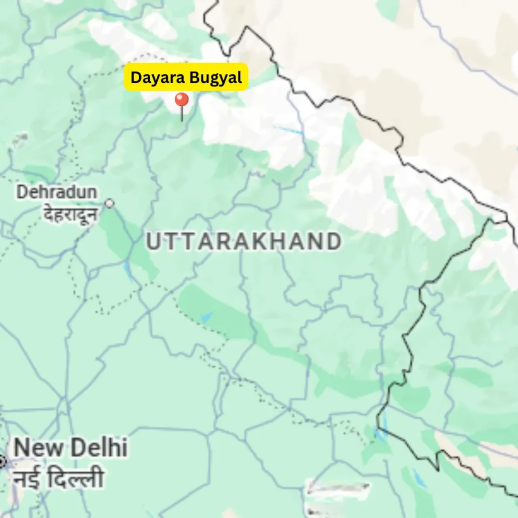
9. Dayara Bugyal Trek, Uttarkashi
Dayara Bugyal trek suits beginners, families, and those looking for an easy to moderate mountain walk within a short time frame. The trail is relatively short and follows a well-laid path, so the walk stays comfortable throughout. Much of the route passes through forests of pine, rhododendron, and maple, where the air feels fresh and the surroundings remain quiet. Camping near Gui Lake is one of the highlights, as the campsite sits within forest cover and offers clear mountain views. From Gui, a day hike leads to the open grasslands of Dayara Bugyal, with wide views of peaks like Bandarpunch, Black Peak, Srikanth, Draupadi Ka Danda, Janoli, and the Gangotri range.
Facts to Know
- Best Time: All Year
- Difficulty: Easy to Moderate (4/10)
- Popularity: 8/10
- Trek Distance & Duration: ~22 km, 3–4 days
- Max Altitude: ~3,780 m (12,400 ft)
- Basecamp: Raithal (1,800 m)
- Drive Distance: ~183 km from Dehradun
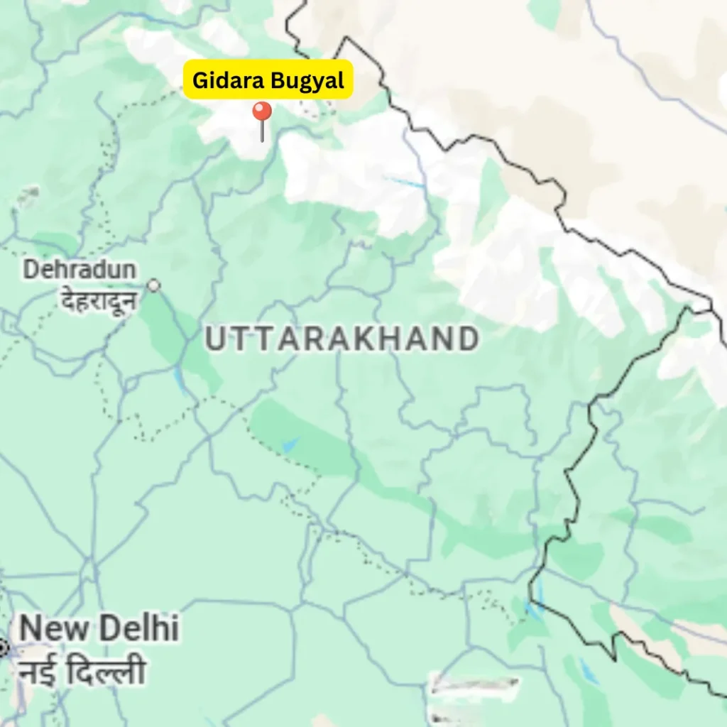
10. Gidara Bugyal Trek, Uttarkashi

Gidara Bugyal is a vast high-altitude meadow in the Uttarkashi region of Uttarakhand, known for its scale, openness, and relatively untouched setting. The trek moves through dense forest sections and gradually opens into wide alpine grasslands, where streams, wildflowers, and isolated campsites appear along the way. Compared to Dayara Bugyal and other well-known meadows, Gidara feels larger, quieter, and more remote, which makes the experience slower and more immersive. The route also includes ridge walking, so trekkers spend long hours above the valleys with continuous views around them. From Gidara Top, the landscape opens into a full panorama, with peaks like Bandarpunch, Swargarohini, Srikanth, and the Gangotri range visible on clear days. The trek suits those looking for calm surroundings combined with expansive Himalayan views and a sense of space rather than crowded trails.
Facts to Know
- Best Time: Summer and Autumn
- Difficulty: Moderate to Difficult (5/10)
- Popularity: 3/10
- Trek Distance & Duration: ~40 km, 7–8 days
- Max Altitude: ~4,267 m (14,000 ft)
- Basecamp: Raithal (1,800 m)
- Drive Distance: ~183 km from Dehradun
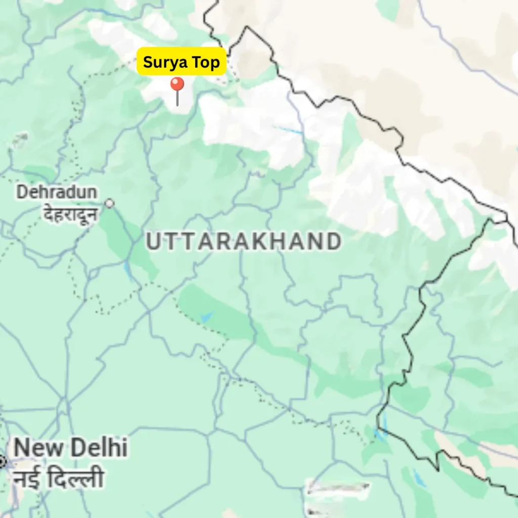
11. Surya Top & Siyari Bugyal Trek, Uttarkashi
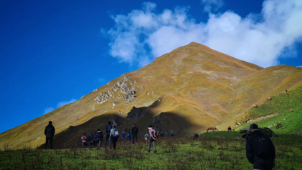
Surya Top is a high-altitude summit trek located in the Barahat mountain range of Uttarkashi district and is often done as an extension of the Dayara Bugyal route. Among newer Himalayan treks, it has quickly gained attention for its steep summit push and long ridge walks. The trail moves through dense forests of deodar, rhododendron, and oak before opening into alpine meadows, which makes the transition gradual and engaging. The final climb is non-technical but demanding, so it tests endurance rather than skills. From Surya Top, trekkers are rewarded with close and wide views of major peaks, with the Gangotri range on one side and the Yamunotri range on the other. Peaks like Bandarpunch, Kala Nag, Srikanth, and nearby ridges dominate the skyline, making it a strong highlight among treks in Uttarakhand and popular for those exploring trekking in Uttarakhand beyond beginner routes.
Facts to Know
- Best Time: Summer and Autumn
- Difficulty: Moderate (4/10)
- Popularity: 3/10
- Trek Distance & Duration: ~35 km, 6–7 days
- Max Altitude: ~3,947 m (12,950 ft)
- Basecamp: Raithal (1,800 m)
- Drive Distance: ~183 km from Dehradun
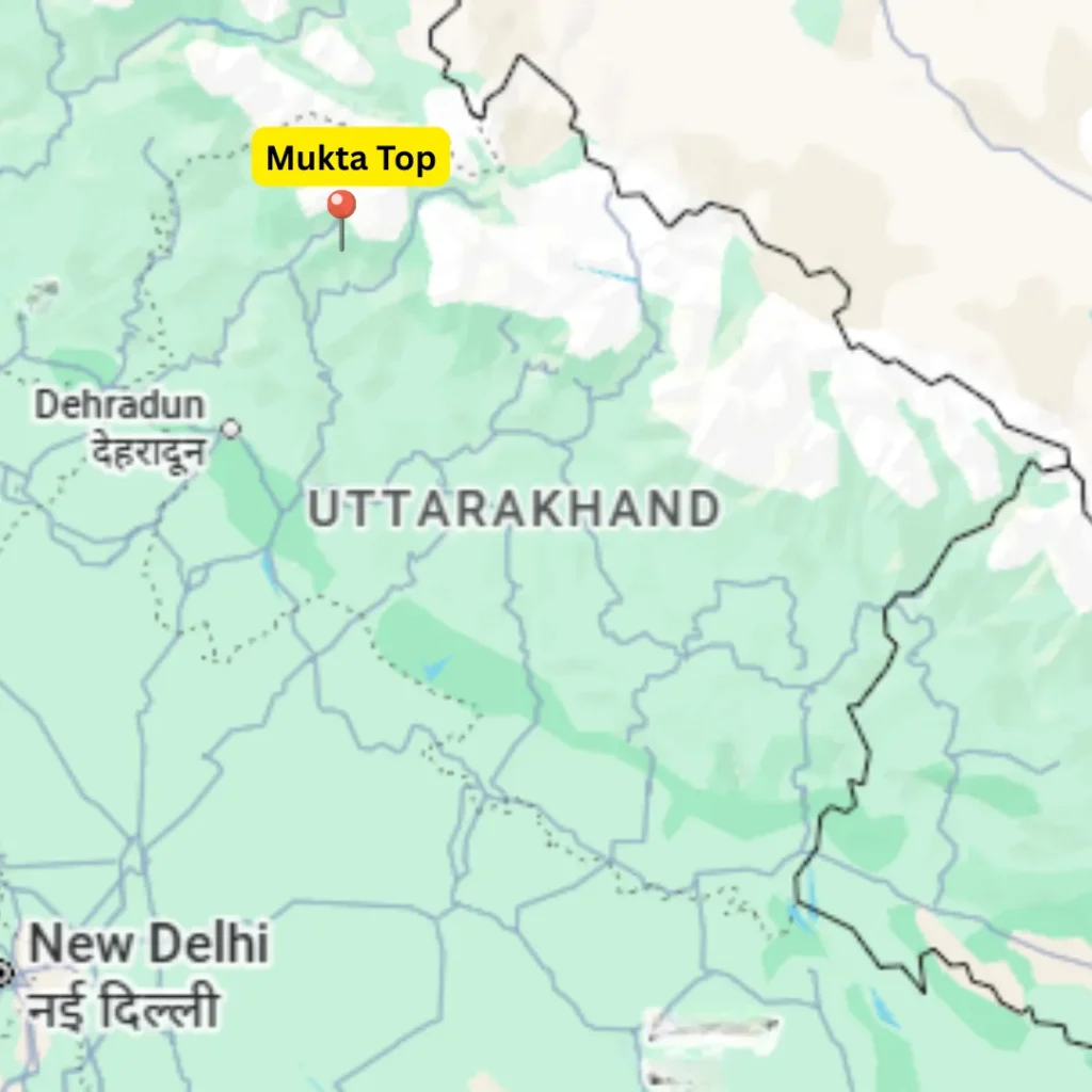
12. Mukta Top Trek, Uttarkashi
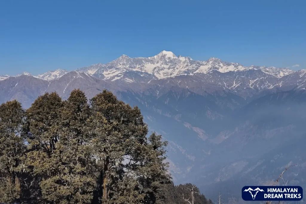
Mukta Top is a quiet and lesser-known trek in the Uttarkashi district of the Garhwal region, and it suits trekkers who prefer uncrowded trails in Uttarakhand. Starting from Kuflon, the route moves through forest sections and open clearings before reaching Mukta Tal and finally Mukta Top. The trail passes through alpine and deciduous vegetation, and as you gain height, the landscape begins to open out. From the summit, wide views of peaks such as Gangotri, Bandarpoonch, Kala Naag, Draupadi Ka Danda, and Janoli appear across the horizon. Located in the Barahat range, the trek feels peaceful throughout, and because of its steady pace and scenic variety, it stands out among Himalayan treks for those exploring trekking in Uttarakhand beyond the popular routes.
Facts to Know
- Best Time: Summer and Autumn
- Difficulty: Easy to Moderate (4/10)
- Popularity: 2/10
- Trek Distance & Duration: ~30 km, 5–6 days
- Max Altitude: ~3,700 m
- Basecamp: Kuflon (1,520 m)
- Drive Distance: ~150 km from Dehradun
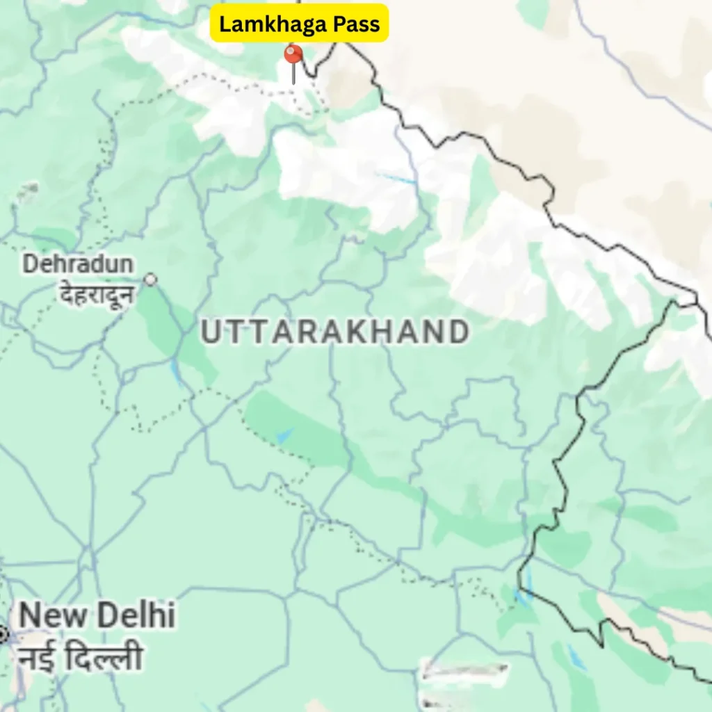
13. Lamkhaga Pass Trek, Uttarkashi
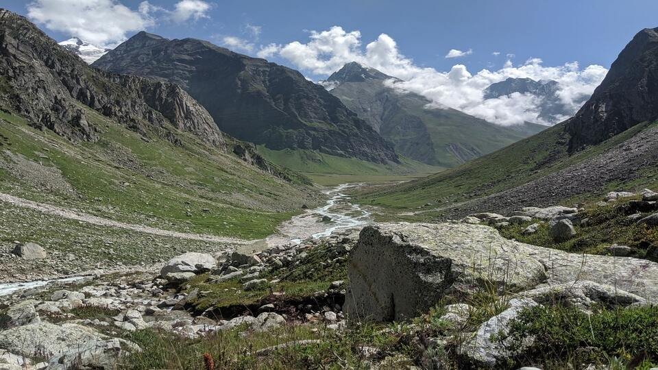
Lamkhaga Pass is a remote and demanding high-altitude trek in the Garhwal Himalayas, and it is known more for its scale and isolation than comfort. The trail connects the Harsil valley with Chitkul valley, and as you move deeper into the route, villages disappear and raw mountain terrain takes over. The trek passes through alpine meadows, glacial streams, and wide valleys, and with every day, the landscape feels bigger and more exposed. From higher sections, views of peaks like Bandarpunch and surrounding Himalayan ranges stay constant. The pass crossing itself is long and strenuous, so it requires strong fitness and preparation. Because of its remoteness and sustained effort, Lamkhaga Pass stands apart among Himalayan treks for experienced trekkers exploring serious trekking in Uttarakhand.
Facts to Know
- Best Time: Summer and Autumn
- Difficulty: Extremely Difficult (10/10)
- Popularity: 3/10
- Trek Distance & Duration: ~90 km, 12–13 days
- Max Altitude: ~5,282 m (17,320 ft)
- Basecamp: Harsil (2,620 m)
- Drive Distance: ~220 km from Dehradun
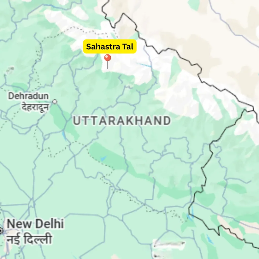
14. Sahastra Tal Trek, Uttarkashi
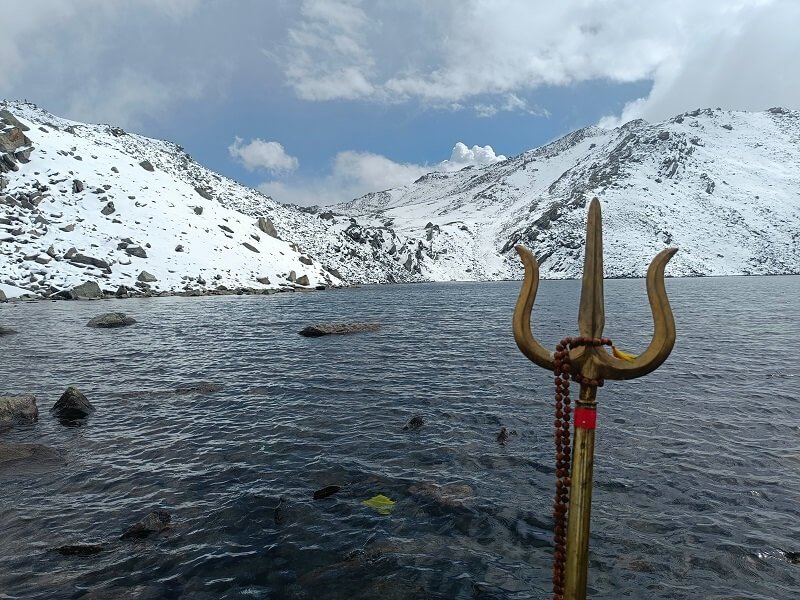
Sahastra Tal is a remote glacial lake located deep in the Bhilangana Valley of the Garhwal range in Uttarakhand. Surrounded by high ridges and open alpine terrain, the lake sits far away from settlements, which gives the area a strong sense of isolation and calm. Reaching Sahastra Tal involves several days of trekking on a demanding route that passes through wide bugyals, rhododendron forests, and a series of smaller glacial lakes scattered across the valley. Among the seven lakes found in this region, Sahastra Tal stands out as the highest, largest, and deepest. Because of its setting, scale, and spiritual importance, the trek appeals mainly to experienced trekkers who are comfortable with long days and rugged Himalayan terrain.
Facts to Know
- Best Time: All year, except winter
- Difficulty: Moderate to Difficult (7/10)
- Popularity: 4/10
- Trek Distance & Duration: ~65 km, 8–9 days
- Max Altitude: ~5,000 m (16,400 ft)
- Basecamp: Silla Village (3,040 m)
- Drive Distance: ~156 km from Dehradun
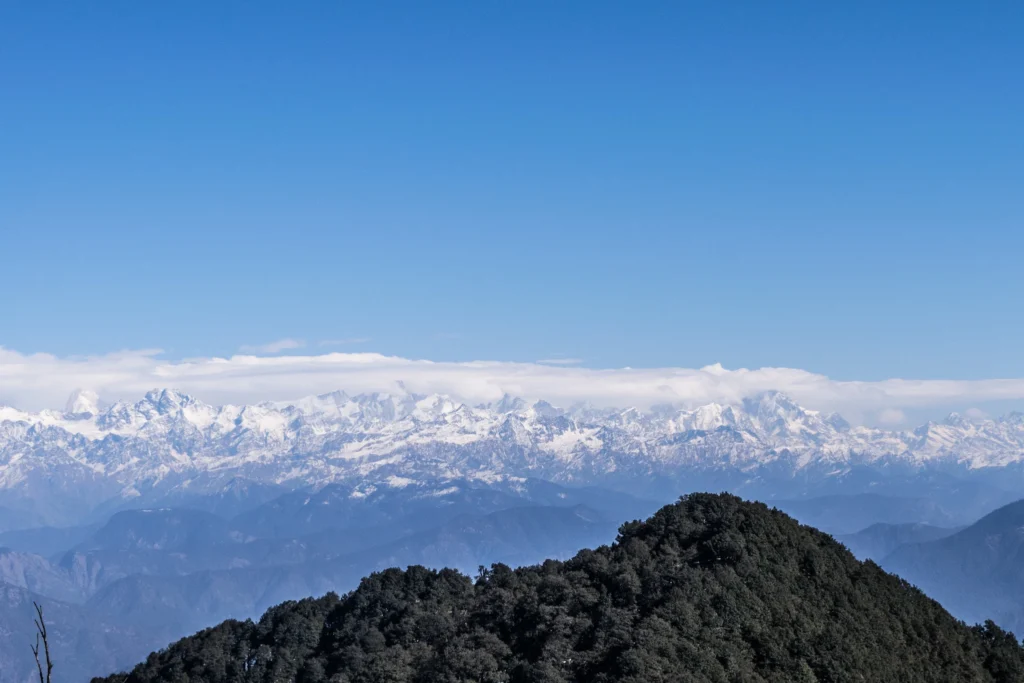
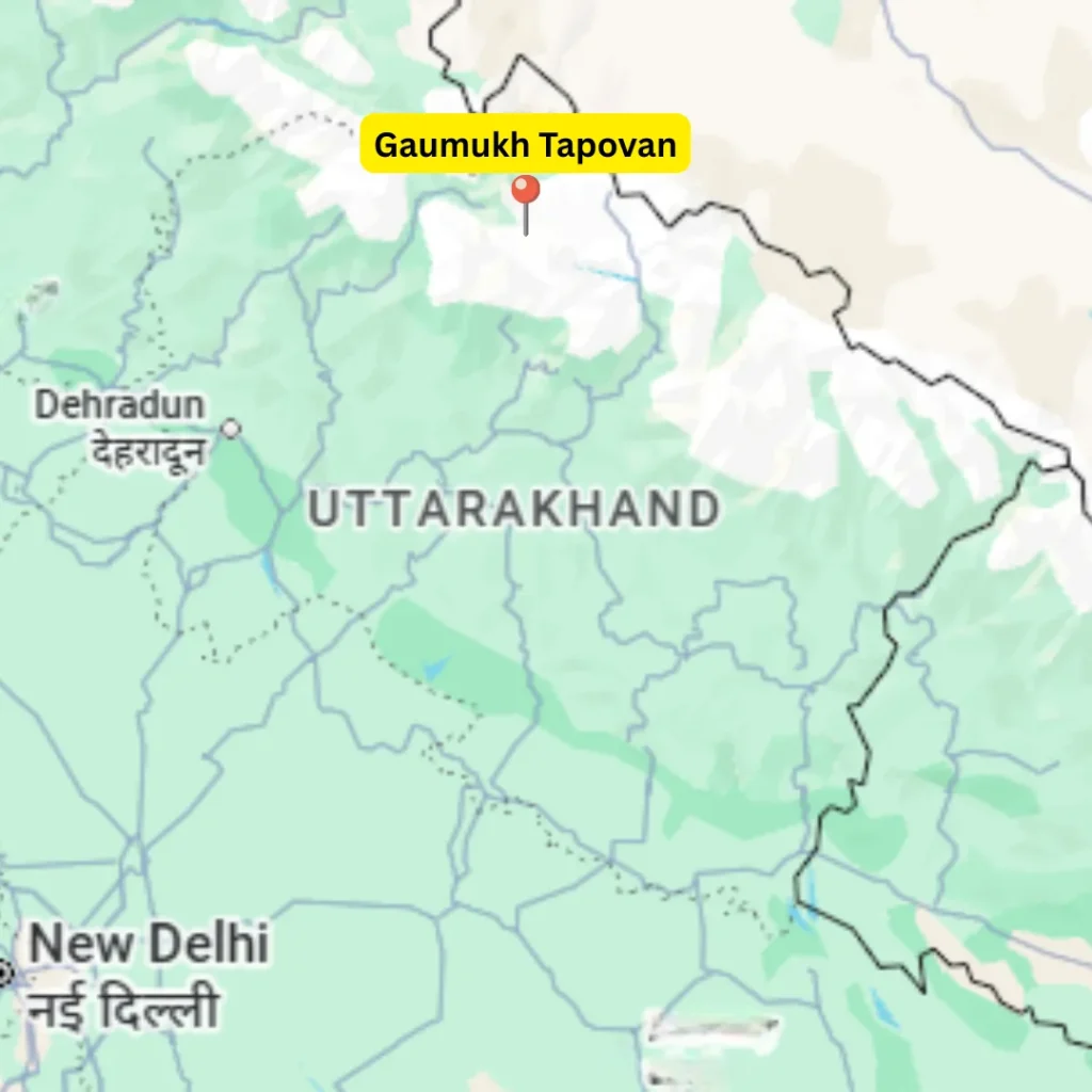
15. Gaumukh Tapovan Trek, Gangotri
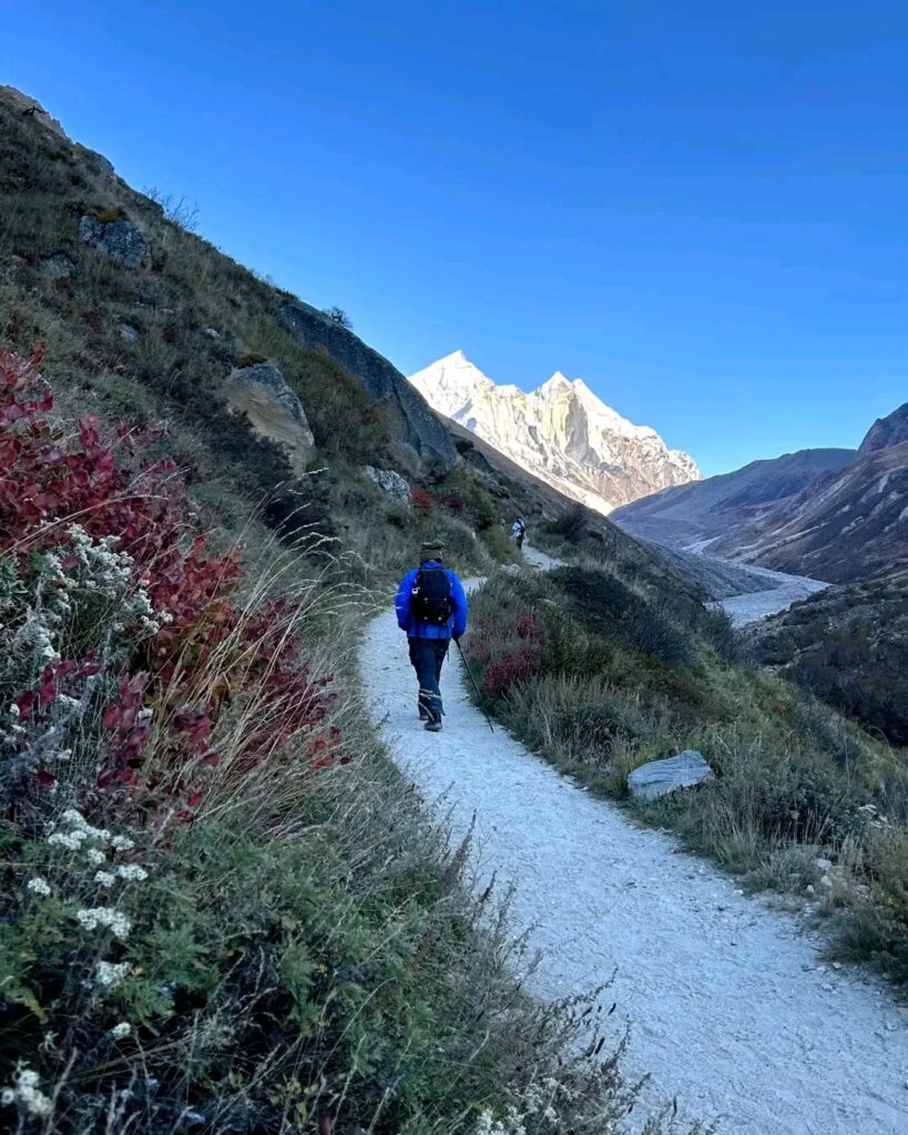
Gaumukh Tapovan is a Himalayan trek where adventure and spirituality come together through the journey. The route begins from Gangotri, which serves as an important pilgrimage centre and also as the base for several treks and expeditions in the region. As you move forward from Gangotri, the trail gradually shifts from river valleys to rocky and glacial terrain, so the change in landscape becomes constant and visible. Trekkers walk alongside the Gangotri Glacier, while navigating towards Tapovan meadows with loose rocks and steep sections that demand focus and balance. Despite the physical challenge, the surroundings remain rewarding, as peaks like Mount Shivling, the Bhagirathi massif, Meru, Sudarshan, and Kedar Dome rise around Tapovan, creating a setting that feels both powerful and peaceful.
Facts to Know
- Best Time: Summer and Autumn
- Difficulty: Difficult (7/10)
- Popularity: 6/10
- Trek Distance & Duration: ~46 km, 6–7 days
- Max Altitude: ~4,465 m
- Basecamp: Gangotri (3,100 m)
- Drive Distance: ~250 km from Dehradun
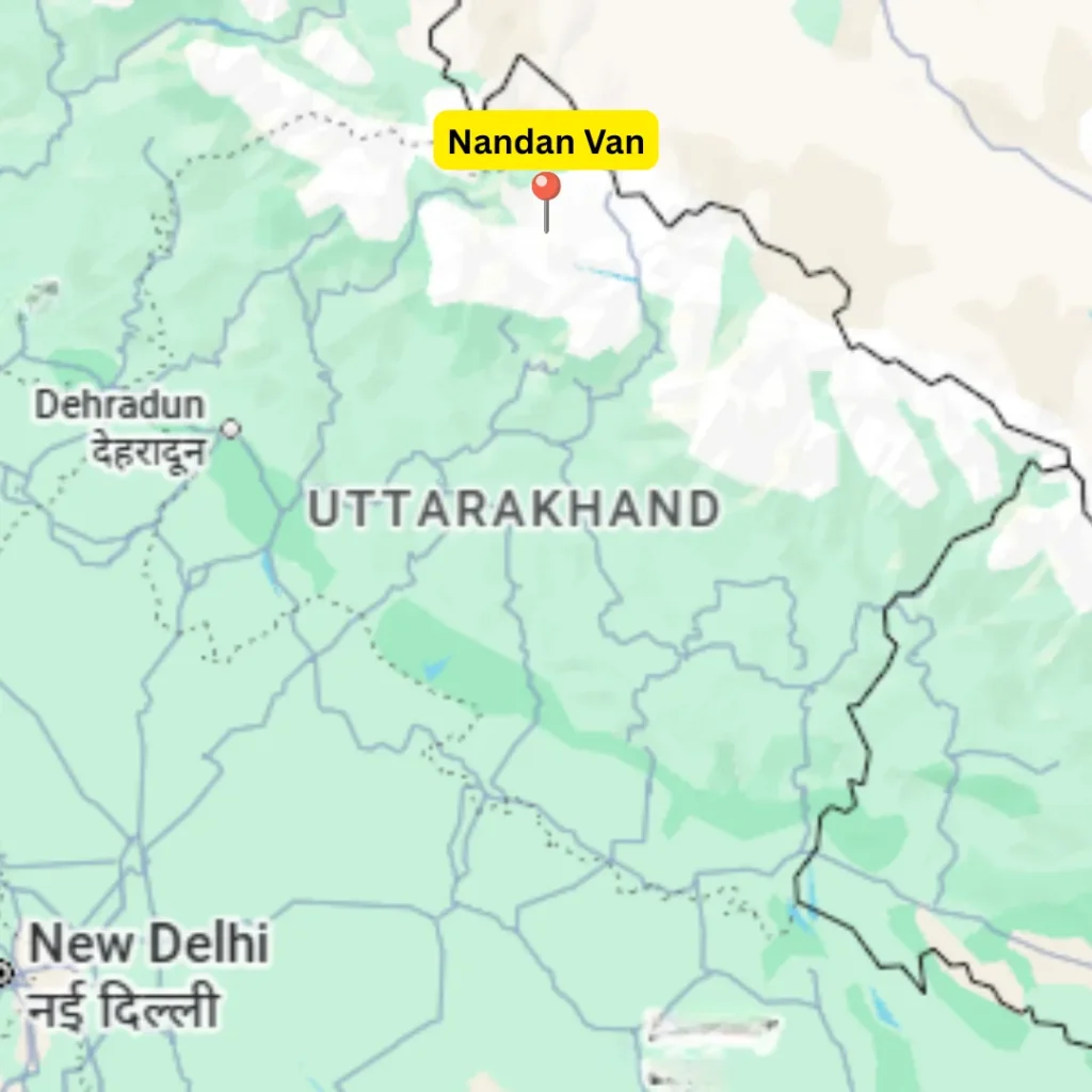
16. Nandan Van & Vasuki Tal Trek, Gangotri
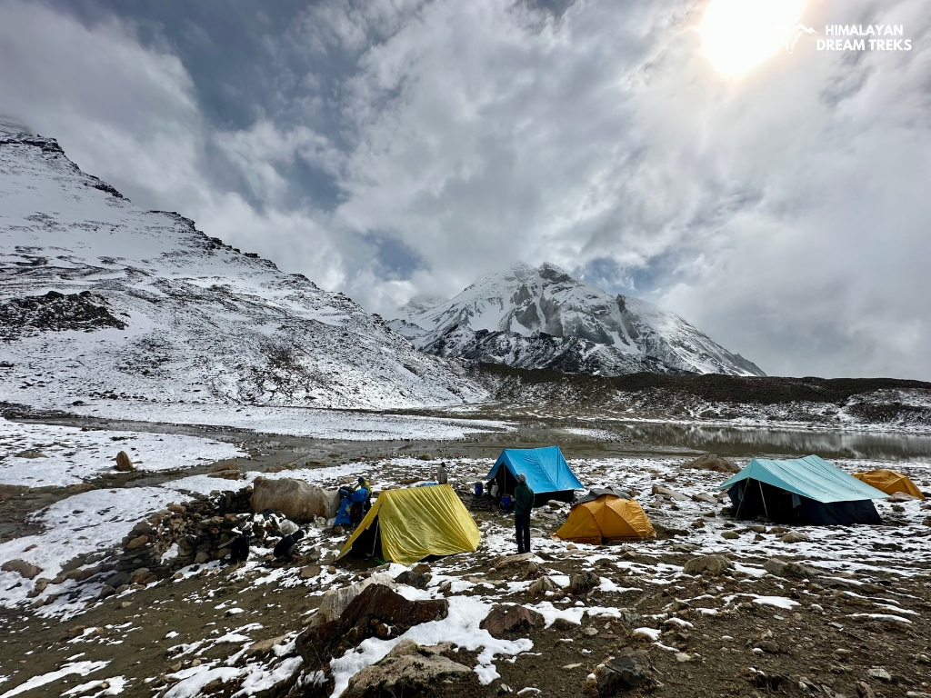
The Nandanvan–Vasuki Tal trek is a demanding high-altitude route in the Garhwal Himalayas. This one is different from the Vasuki Tal that is approached from the Kedarnath side. Located within Gangotri National Park in Uttarakhand, the trek moves through a dramatic sequence of landscapes, as it connects Gangotri with Tapovan, Nandanvan, and finally Vasuki Tal. Along the way, trekkers cross the Gangotri and Chaturangi glaciers, while camping beneath towering Himalayan peaks.
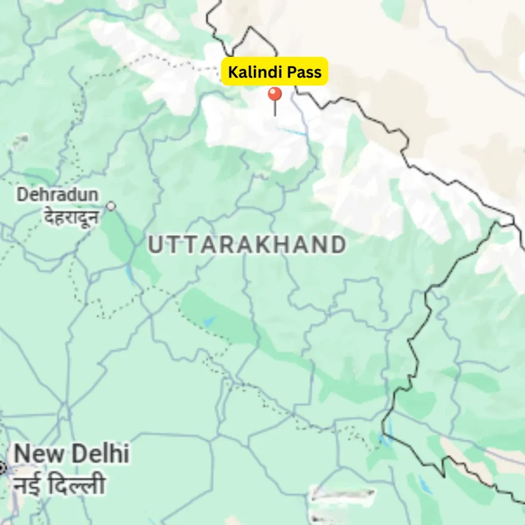
Vasuki Tal lies at the base of Vasuki Parvat, and because of its high elevation, glacial terrain, and low temperatures, the trek demands strong fitness and prior high-altitude experience. Throughout the route, wide views of peaks such as Shivling, Bhagirathi, Meru, Sudarshan, Kedar Dome, and Vasuki Parvat remain constant. Beyond Vasuki Tal, the trail also links toward Kalindi Pass and eventually opens into the Ghastoli region, adding further depth to this serious Himalayan trek.
Facts to Know
- Best Time: Summer and Autumm
- Difficulty: Difficult (8/10)
- Popularity: 3/10
- Trek Distance & Duration: ~60 km, 7–8 days
- Max Altitude: ~4,900 m
- Basecamp: Gangotri (3,100 m)
- Drive Distance: ~250 km from Dehradun
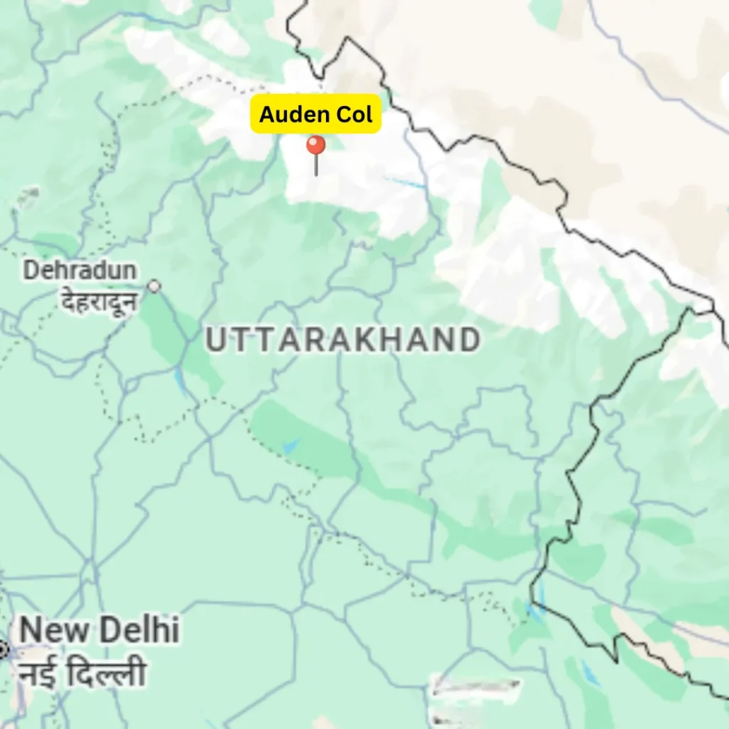
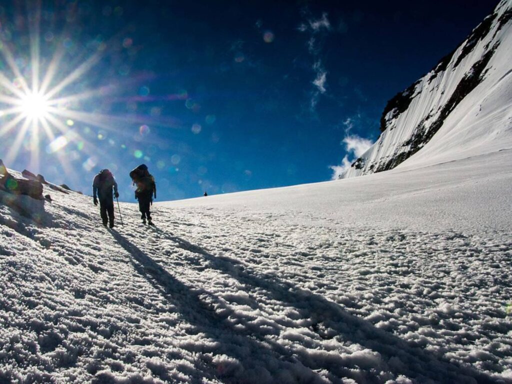
17. Auden’s Col Trek, Gangotri to Kedarnath

Auden’s Col and Mayali Pass form one of the most demanding high-altitude trekking routes in the Garhwal Himalayas, and the journey is meant for experienced trekkers seeking serious mountain terrain. The route begins from Gangotri and moves through the Rudugaira Valley, where glacial landscapes slowly replace river valleys and forest sections. As the trail climbs higher, it reaches Auden’s Col, a narrow glacial pass set between the Jogin I (6465m) and Gangotri III (6580m), and then continues toward the vast expanse of the Khatling Glacier.
Beyond the glacier, the trek crosses Mayali Pass and passes remote campsites, alpine lakes like Masar Tal and Vasuki Tal (the one related to Kedarnath), and multiple stream crossings along the way. Depending on the route taken, the trail either descends toward Kedarnath or opens into the Bhilangana Valley, where isolated villages such as Gangi and Ghuttu appear after days of wilderness. Because of its length, altitude, and continuous exposure to glaciers and passes, this trek demands strong fitness, endurance, and prior high-altitude experience.
Facts to Know
- Best Time: Summer and Autumn
- Difficulty: Extremely Difficult (10/10)
- Popularity: 4/10
- Trek Distance & Duration: ~95 km, 15–16 days
- Max Altitude: ~5,490 m
- Basecamp: Gangotri (3,100 m)
- Drive Distance: ~250 km from Dehradun
18. Kalindi Khal Trek, Gangotri to Badarinath
Kalindi Khal is a high-altitude expedition trek in Uttarakhand, and it connects the sacred regions of Gangotri and Ghastoli through some of the most remote glacial terrain in Uttarakhand. The journey begins from Gangotri and moves toward Gaumukh and Tapovan, where open grasslands slowly give way to glaciers and moraine fields. As the trail advances, trekkers navigate the Gangotri, Chaturangi, and Kalindi glaciers, while walking among crevasses, boulders, and ice-covered slopes. The route offers close views of peaks such as Shivling, Meru, Bhagirathi, Kedar Dome, and Satopanth throughout the trek. At its highest point, Kalindi Khal stands as a heavily glaciated pass, demanding strong endurance and technical awareness, and making the trek suitable only for experienced mountaineers seeking serious Himalayan exploration.
Facts to Know
- Best Time: Summer and Autumn
- Difficulty: Extremely Difficult (10/10)
- Popularity: 5/10
- Trek Distance & Duration: ~100 km, 13–14 days
- Max Altitude: ~5,942 metres (19,495 ft)
- Basecamp: Gangotri (3,100 m)
- Drive Distance: ~250 km from Dehradun
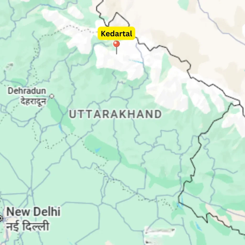
19. Kedartal Trek, Gangotri

Kedartal is a high-altitude alpine lake trek in the Garhwal Himalayas, and it blends adventure with strong spiritual significance. The journey begins from Gangotri and moves along the Kedar Ganga Valley, where the trail climbs steeply while passing streams, rocky sections, and glacial debris. As trekkers move upward, forests give way to exposed terrain, and the surroundings become more rugged and dramatic. Kedartal lies beneath towering peaks such as Thalayasagar, Bhrigupanth, and Meru, and the emerald-colored lake sits quietly amid moraines and ice-fed slopes. Campsites like Bhoj Kharak and Kedar Kharak offer open views and clear night skies, while the challenging gradient and unpredictable conditions make this trek suitable only for experienced hikers exploring demanding Himalayan treks in Uttarakhand.
Facts to Know
- Best Time: Summer and Autumn
- Difficulty: Difficult (7.5/10)
- Popularity: 6/10
- Trek Distance & Duration: ~38 km, 4–5 days
- Max Altitude: ~4,734 m (15,531 ft)
- Basecamp: Gangotri (3,100 m)
- Drive Distance: ~250 km from Dehradun
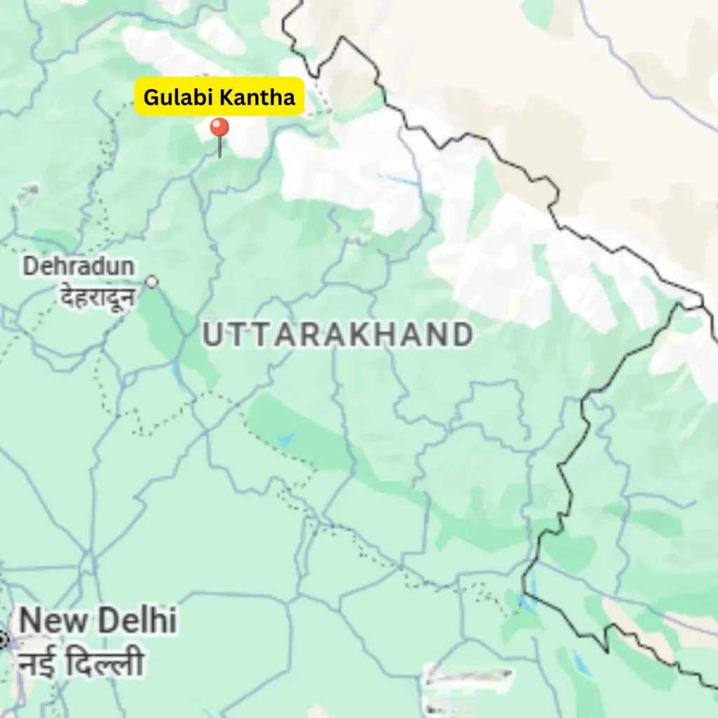
20. Gulabi Kantha Trek, Yamunotri

Gulabi Kantha is a lesser-known Himalayan summit in the Uttarkashi district of Uttarakhand, set within the Yamuna Valley region and close to the route toward Yamunotri. The trek begins from Hanuman Chatti and moves through small Garhwali settlements and forest clearings, before opening into wide bugyals and rising toward the summit. As the trail gains height, alpine vegetation surrounds the path, while short and steep sections add light challenge along the way. From the top, deep valleys stretch out below, and snow-covered peaks appear across the horizon. On clear days, mountain peaks such as Kedarkantha, Bandarpoonch, and Yamunotri mountain range remain visible. Because of its moderate pace, open terrain, and quiet setting, Gulabi Kantha suits beginners who want a scenic Himalayan trek in Uttarakhand without crowded trails.
Facts to Know
- Best Time: December to February
- Difficulty: Easy to Moderate (5/10)
- Popularity: 4/10
- Trek Distance & Duration: ~28 km, 4–5 days
- Max Altitude: ~4,023 m (13,200 ft)
- Basecamp: Hanuman Chatti (2,400 m)
- Drive Distance: ~161 km from Dehradun
Leave a Comment