Uttarakhand has many beautiful trails that lead to breathtaking glaciers. These glacier treks allow you to experience the beauty of the Garhwal and Kumaon Himalayas like never before. Treks to Gangotri Glacier, Pindari Glacier, and Milam Glacier among others, offer beautiful views of high peaks, and deep valleys while giving an adrenaline rush to the climbers.
Depending on your skill level, you can attempt these glacier treks with the help of local guides, porters and Himalayan Dream Treks who know the terrain well. Along with beautiful views, these treks give a chance to connect with the local culture and experience their warm hospitality. This in-depth guide will take you through the ten most adventurous glacier treks to help you plan your next trekking destination.
Table of Contents
Ten Popular Glacier Treks in Uttarakhand
If you are looking for an adventure, glacier treks in Uttarakhand can be a perfect choice. You can explore places like the Gangotri Glacier, Pindari Glacier, Kafni Glacier, and Sunderdhunga Glacier to discover other hidden gems with the help of guides. The ten most popular glacier treks in Uttarakhand are:
1) Gangotri Glacier
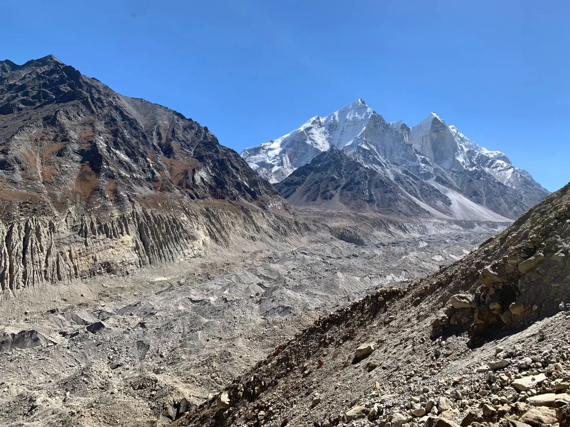

Gangotri Glacier is India’s second-largest glacier that originates at the northern slope of the Chaukhamba range in the Uttarkashi district of Uttarakhand. It covers an area of about 75 km2 with tributary glaciers like Meru and Ghanohim feeding from the left and Raktavarn, Chaturangi, Swachhand and Manda feeding from the right.
Gangotri or Gaumukh is one of the most popular glacier treks in the Garhwal region due to its spiritual significance in Hindu mythology. It feeds the headwaters of the holy river Ganga i.e. Bhagirathi River which meets the Alaknanda River at Devprayag. This is a moderate-level trek which is ideal for beginners and is family-friendly. The Gangotri Glacier trek is often clubbed with other trekking routes of Gaumukh Tapovan Trek and Nandavan Vasuki Tal Trek to make the climbing experience more adventurous and exciting.
| Attribute | Details |
|---|---|
| Region | Garhwal Himalayas, Uttarakhand |
| Base Camp | Gangotri |
| Difficulty | Moderate |
| Total Distance | 38 km |
| Average Altitude | 5,259 m/ 17,254 ft, Gaumukh Snout: 4,000 m |
| Minimum Age | 8 years |
| Terrain Type | Forest, Meadows, Ridges, Valleys, loose gravel |
| Ideal For | Adventure, Nature Beauty, Camping, Hiking, Birding |
| Best Season | May to June and August to October |
| Nearest Town/City | Uttarkashi |
Highlights of the Gangotri Glacier Trek
- The trails to Gangotri Glacier are confined within the geographical boundaries of the Gangotri National Park and the trekkers need to take a formal permit to start their trek.
- The trek starts from Gangotri Dham, the pilgrimage site for the Goddess Ganga, and leads further to Chirbasa at a distance of about 9 km. Here, you will find well-maintained and mildly steep forest trails covered with Chir Pine.
- From Chirbasa, you must cover a distance of about 5-6 km to arrive at Bhojwasa, a small settlement covered with Bhojaptra or Himalayan Birch trees. On your way, you will encounter Geela Pahar which should be traversed carefully due to its muddy trails and risk of landslides.
- In Bhojwasa, you may rest at GMVN’s guest houses or ashrams.
- Flora: Chir Pine, Blue Pine, Oak, Himalayan Birch, Rhododendrons, Spruce, Deodar
- Fauna: Black Bear, Brown Bear, Bharal, Himalayan Tahr, Musk Deer, Goral, Weasel, Red Fox
- Visible Peaks: Bhagirathi I, II, and III, Mt. Shivling, Meru, Sudarshan
- Nearby Attractions: Gangotri National Park, Nandanvan, Tapovan, Kedartal, Harsil Valley, Nelong Valley, Gartang Gali
2) Pindari Glacier Trek
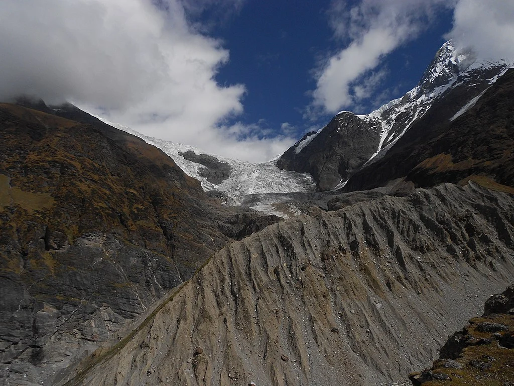
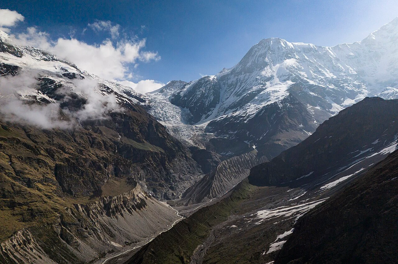
Pindari is one of the most accessible glacier treks in Uttarakhand located in the Bageshwar district in the upper reaches of the Kumaon Himalayas. The glacier is fed by the snowmelts Nanda Kot, Pwalidwar, Changuch, and Maiktoli peaks. The trek takes you through beautiful waterfalls and river boulders of the Pindari River with well-maintained trails, colorful huts, and guest houses developed by KMVN. It is a moderate to easy trek that takes around 6 days to complete with reasonable fitness and amateur-level experience.
| Attribute | Details |
|---|---|
| Region | Kumaon Himalayas, Uttarakhand |
| Base Camp | Loharkhet/Khati |
| Difficulty | Moderate |
| Total Distance | 60 km |
| Altitude | 3,800 m (Zero Point) |
| Minimum Age | 15 years |
| Terrain Type | Forest, Meadows, Ridges, Valleys, Boulders, Loose Gravel, Crevices |
| Ideal For | Adventure, Nature Beauty, Camping, Hiking |
| Best Season | April to July and September to October |
| Nearest Town/City | Bageshwar |
Highlights of the Pindari Glacier Trek
- The Pindari Glacier trek starts from the beautiful village of Khati connected to Song Village and Bageshwar via a motorable road.
- You can follow the track, running parallel to the river to reach Dwali, where the Kafni and Pindari rivers meet. A 7 km trek from Dwali to Phurkia will give you scenic views of Nanda Devi sanctuary with beautiful waterfalls and flowering plants covering the trail.
- The alpine meadow of Phurkiya is around 8 km from the zero point of Pindari Glacier.
- Pindari Baba Ashram: One of the main attractions of the Pindari glacier trek is the tiny temple of Goddess Durga built by Swami Dharmanand, alias ‘Pindari Baba’ just 2 km before the zero point. He has built a small ashram of wood and gravel to stay and meditate in the company of the mountains. During extreme winters he moves downhill to the village of Khati.
- Flora: Himalayan Birch, Atis, Kutki, Alpine shrubs, Chir Pine, Deodar, Jatamansi, Rosebay Willowherb, Cypress, Violet Monkshood, Himalayan Mayapple, Rhododendrons
- Fauna: Himalayan Tahr, Himalayan Bears, Indian fox, Red Fox, Asiatic Black Bear, Snow Leopard, Red flying squirrel
- Birds: Himalayan griffon, Red jungle fowl, Large Hawk Cuckoo, Plum-headed parakeet, Collared Owlet
- Visible Peaks: Maiktoli, Devtoli, Nanda Khat, Trishul, Changuch, Nanda Kot
- Nearby Attractions: Nanda Devi National Park, Loharkhet, Kafni Glacier, Sunderdhunga Glacier
3) Bagini Glacier
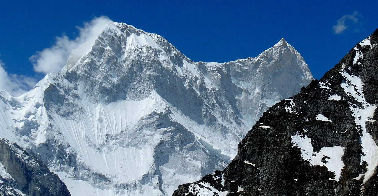
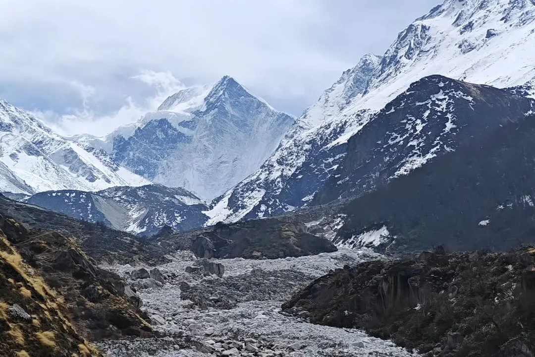
The Bagini glacier trek in Uttarakhand is one of the most challenging treks in the upper reaches of the Garhwal Himalayas. Located in the Chamoli district, this glacier and its alpine field serve as the base camp for the climbing of Changbang and Kalabaland summits. Bagini is a 7-8 day offbeat glacier trek with difficult and exciting terrains for bold and experienced adventurers.
| Attribute | Details |
|---|---|
| Region | Garhwal Himalayas, Uttarakhand |
| Base Camp | Jumma Village |
| Difficulty | Moderate |
| Total Distance | 55 km |
| Altitude | 4,510 m/ 14,797 ft |
| Minimum Age | 15 years |
| Terrain Type | Forest, Meadows, Ridges, Valleys, Boulders, Muddy slopes |
| Ideal For | Adventure, Nature Beauty, Camping, Hiking |
| Best Season | May to June and August to October |
| Nearest Town/City | Joshimath |
Highlights of the Bagini Glacier Trek
- The trek to Bagini Glacier starts from the Jumma village which is accessible by a narrow 42 km motorable road via Joshimath. On the way, you will encounter the small villages of Reni, Phagti and Tapovan.
- From Jumma, one needs to cross the suspension bridge hanging over the Dhauli Ganga River and trek for around 3 km to reach Ruing Village.
- After camping at Ruing, the next destination is Dunagiri Village. The trail starts with a moderate hike with beautiful views of Bagini stream and transforms into 60°-70° steep muddy slopes that are prone to landslides. Dunagiri is mostly uninhabited by the locals with only a few still residing there, you may find GMVN camps to spend a night.
- The next lap of the trek leads to Bagini Glacier base camp via Longatuli. The trek from here has a mildly steep ascent with the streams of Bagini running parallel. From here you can trek further to Changabang base camp to get a 360° view of Trishuli, Hardeol, and Dunagiri peaks.
- Flora: Himalayan Thyme, Primula, Juniper, Alpine Shrubs, Wild Roses, Rhododendrons, Himalayan Birch
- Fauna: Oriental Turtle Doves, Black Bear, Snow Leopards
- Visible Peaks: Hathi Parvat, Ghori Parvat, Trisuli, Hardeol, Purbi Dunagiri, Rishi Pahar, Satminal
- Nearby Attractions: Banial Temple, Tapovan, Joshimath,
4) Sunderdhunga Glacier
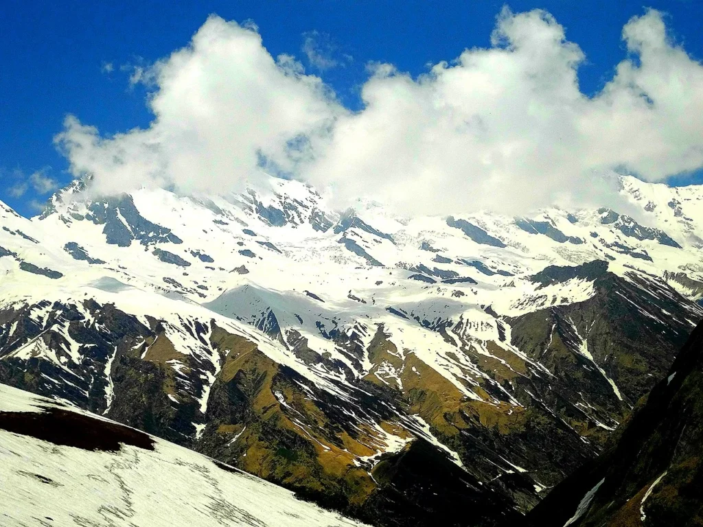
Sunderdhunga is the most scenic glacier trek, out of the three sister glaciers of Bageshwar district in Uttarakhand’s Kumaon Himalayas. The name translates to the “Valley of Beautiful Stones” with golden stones and boulders created by the glacial activities in the past. Sundershunga lies near the Maiktoli and Sukhram Glaciers at the foothill of Maiktoli Peak. This beautiful trek takes about 5-6 days with moderate to difficult trails along the Sunderdhunga River and upright slopes at various points.
| Attribute | Details |
|---|---|
| Region | Kumaon Himalayas, Uttarakhand |
| Base Camp | Loharkhet/Khati |
| Difficulty | Moderate to Difficult |
| Total Distance | 52 km (approx.) |
| Altitude | Spans from 3,200-6,050 m/ 10,500 ft-19,849 ft |
| Minimum Age | 15 years |
| Terrain Type | Forest, Meadows, Ridges, Valleys, Big Boulders, Muddy slopes, Loose Gravel, 70° steep slopes |
| Ideal For | Adventure, Nature Beauty, Camping, Hiking, Birding |
| Best Season | May to June and August to October |
| Nearest Town/City | Bageshwar |
Highlights of the Sunderdhunga Glacier Trek
- Sunderdhunga Glacier trek follows the same route as the Pindar trek from Loharkhet to Khati village and later, diverts towards the left from there.
- From Khati, trekkers witness a steady uphill ascent for about 8-9 km to Jaitoli village. This beautiful village is home to the local herders and has a thick forest of Oak, Pine, Deodars, and Maple.
- The trek leads to Kathaliya after around 13 km steep climb with trails running alongside the Sunderdhunga River. One can find waterfalls and big boulders on their track with wooden bridges to cross the water streams.
- The next lap of the trail leads to Baluni Top, about 7 km from Kathaliya. This alpine meadow hosts the zero point of Sunderdhunga Glacier and can be accessed via the Maiktoli base camp. The trail in this section is full of sharp ridges, spider walls, and muddy slopes which makes the trek challenging and exciting.
- Flora: Jattaphul, Primula, Kutki, Rhododendrons, Chir Pine, Himalayan Blue Pine, Silver Oak, Brown Oak, Hazel, Hornbeam, Elm
- Fauna: Snow Leopard, Musk Deer, Bharal, Himalayan Tahr, Serow, Himalayan Black Bear, And Himalayan Brown Bear
- Visible Peaks: Tharkot, Maiktoli, Mrigthuni, Pawalidwar
- Nearby Attractions: Bagnath Temple, Bageshwar, Devi Kund, Nag Kund, Kanakata Pass, Sukhram Cave
5) Kafni Glacier
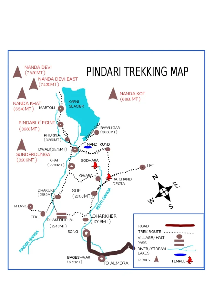
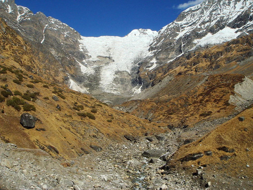
Kafni is also known as the sister glacier of Pindari, situated to the left side of the valley on the foothills of Nanda Kot. This glacier trek in Uttarakhand is a part of the tri-glacial treks of Pindari, Sunderdhunga, and Kafni in the Kumaon region. The Trek follows the same route from Loharkhet to Khati and diverges to the right towards Khatia from Dwali. The difficulty level of the Kafni Glacier trek is more challenging than the Pindari Glacier due to spider walls and rough trails lined with a few alpine meadows and snow fields.
| Attribute | Details |
|---|---|
| Region | Kumaon Himalayas, Uttarakhand |
| Base Camp | Loharkhet/Khati |
| Difficulty | Difficult |
| Total Distance | 60 km |
| Altitude | 3,810 m/ 12,500 ft |
| Minimum Age | 15 years |
| Terrain Type | Forest, Meadows, Ridges, Valleys, Snow Fields, Steep Slopes, Boulders, Loose gravel |
| Ideal For | Adventure, Nature Beauty, Camping, Hiking, Birding |
| Best Season | May to June and August to October |
| Nearest Town/City | Bageshwar |
Highlights of the Sunderdhunga Glacier Trek
- The zero point of the Kafni Glacier trek lies 13 km from Dwali, the last point where accommodation is available. You can trek to Dwali following the trail for Pindari Glacier via Khati from Loharkhet.
- The trek becomes inaccessible during the monsoons and winters due to the risk of floods in the Kafni River, landslides and avalanches.
- Flora: Rhododendrons, Chir Pine, Blue Pine, Alpine Shrubs, Deodars, Cypress
- Birds: Indian White-backed Vulture, Black Eagle, Mountain Hawk-Eagle, Collared Falconet, Chukor, Koklass Pheasant, Snow Pigeon
- Visible Peaks: Nanda Kot, Mrigthuni, Maiktoli, Changuch, Nanda Bhanar
- Nearby Attractions: Pindari Glacier, Kasauni, Bageshwar, Baijnath Temple, Jageshwar
6) Milam Glacier
wanderer_of_the_himalayas)
rkcguk)
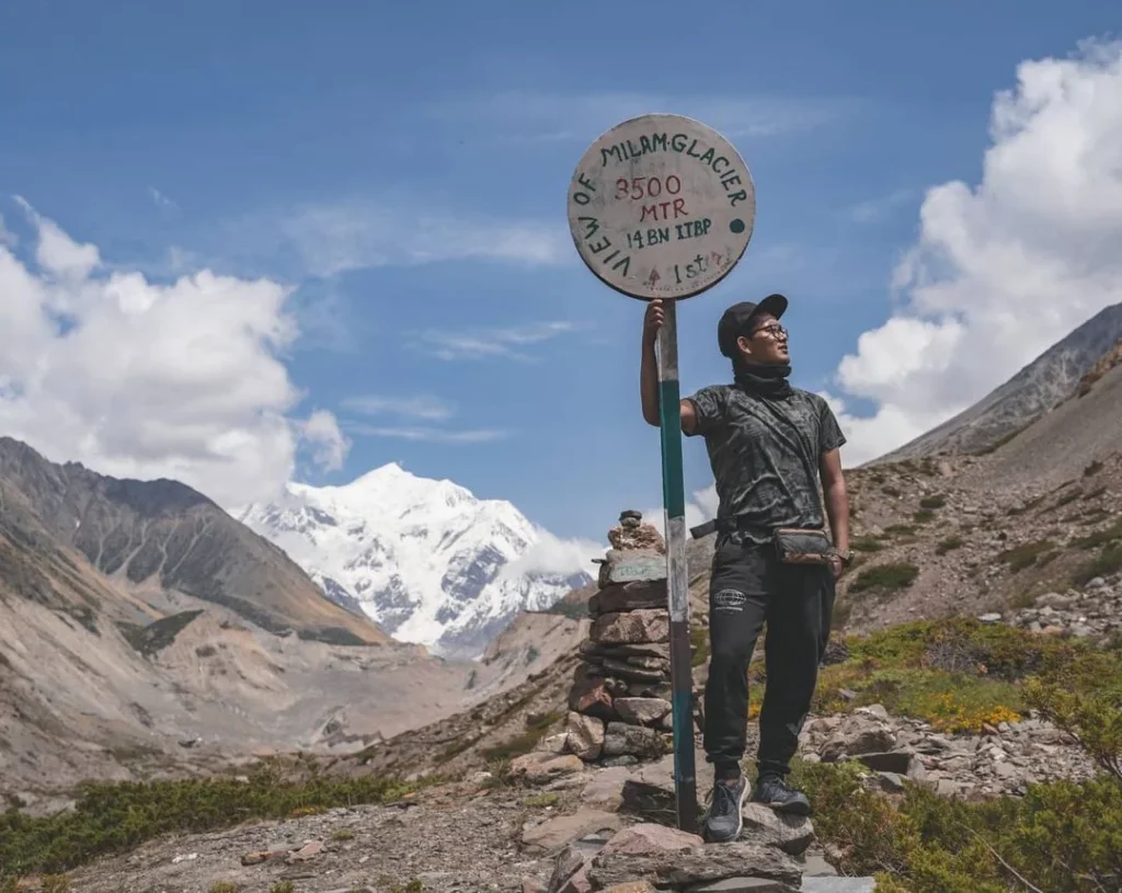
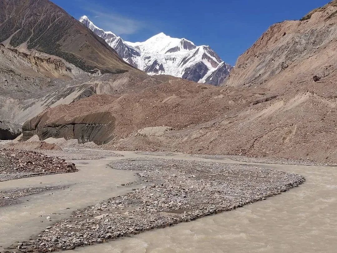
Milam is one of the most popular glacier treks in Uttarakhand’s Pithogarh district. Spread over an area of 37 km2, the Milam Glacier marks the eastern side of the Nanda Devi sanctuary. It originates on the slopes of Kohil and Trishul Peaks and feeds the upper Gori Ganga River basin and the Milam River. Milam Valley has been central to the summit climbing of many important peaks of Uttarakhand like the Nanda Devi group of mountains. The trek to the glacier is moderately difficult with avalanche-prone narrow tracks and steep slopes.
| Attribute | Details |
|---|---|
| Region | Kumaon Himalayas, Uttarakhand |
| Base Camp | Munsiyari |
| Difficulty | Difficult |
| Total Distance | 110 km |
| Altitude | 4,223 m/ 13,877 ft |
| Minimum Age | 15 years |
| Terrain Type | Forest, Meadows, Ridges, Valleys, Steep Ascent, Boulders, Moraine |
| Ideal For | Adventure, Nature Beauty, Camping, Alpine Hiking |
| Best Season | May to June and August to October |
| Nearest Town/City | Haldwani |
Highlights of the Milam Glacier Trek
- You can reach Munsiyari first via Haldwani, from here you can trek 12 km following the stream of the Gori Ganga River to Lilam Village. From here, about 13 km hike through dense coniferous forests and a steep ascent will lead you to Bagudyar.
- Bagudyar to Raikot distance is 12 km, from Raikot, you will have to trek for another 17 km to arrive at Milam Village.
- The Milam Glacier is accessible from the Milam Village at about 6 km, giving you beautiful views of the surrounding Nanda Devi Massif.
- From Bagudyar you can change the route and trek for 12 km to reach the Ralam Glacier.
- Flora: Himalayan Birch, Bay Leaf Tree, Bedu (fig), Alpine shrubs, Chir Pine, Deodar, Ground berry, Gulnaksha ka phool, Thuner, Java Plum, Yellow Wood Violet
- Fauna: Himalayan Tahr, Himalayan Weasel, Goral, Red Fox, Blue Sheep, Snow Leopard
- Visible Peaks: Longstaff Col, Nanda Devi Main, Nanda Devi East, and Hardeol
- Nearby Attractions: Nanda Devi National Park, Ralam Glacier, Namik Glacier, Saildhar Tapovan
7) Namik Glacier
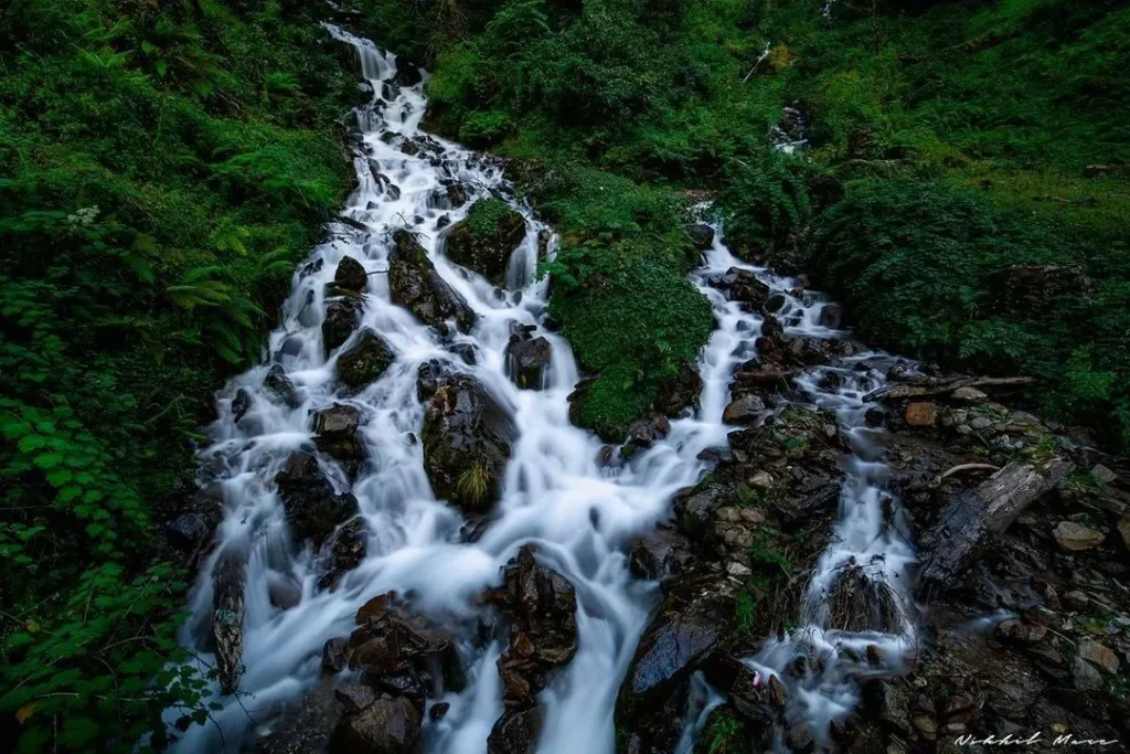
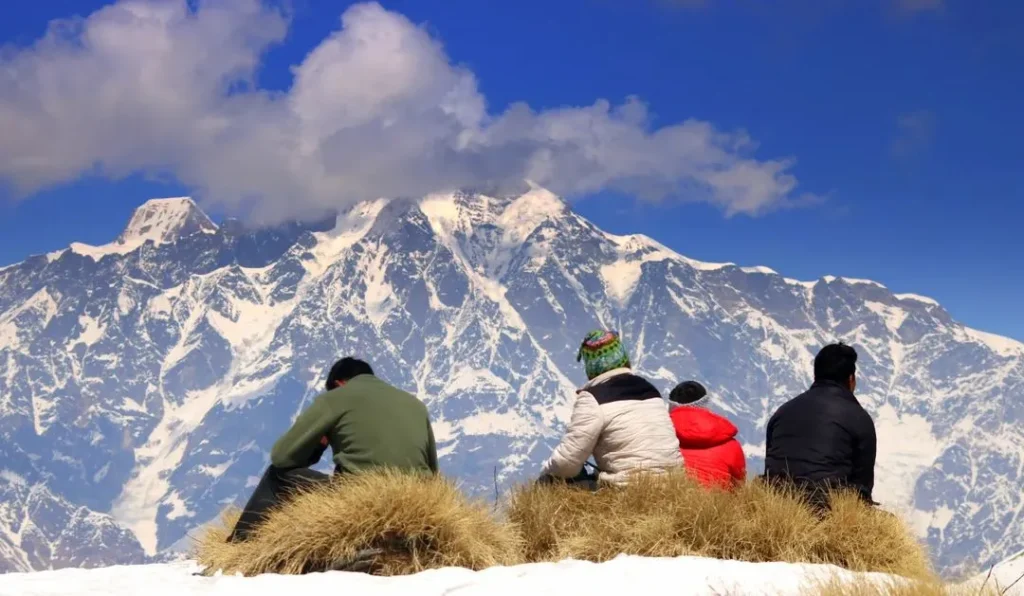
Located in the Pithogarh district of Uttarakhand, the Namik Glacier is at a height of 3600 m above mean sea level. It is placed on the slopes of Namik Peak, the origin of the Ramganga River. The word ‘Namik’ literally translates to the place of saline water springs, present near the 3 km long Glacier. It is a moderate to challenging trek which starts from the Gogina Village via Sama Liti Road connected to the Bageshwar town.
| Attribute | Details |
|---|---|
| Region | Kumaon Himalayas, Uttarakhand |
| Base Camp | Liti in Gogina village |
| Difficulty | Moderate to Difficult |
| Total Distance | 54 km |
| Altitude | 3,600 m/ 11,811 ft |
| Minimum Age | 15 years |
| Terrain Type | Sharp Ridges, Meadows, Moraine, Valleys, Boulders, Snowy Trails |
| Ideal For | Adventure, Nature Beauty, Camping, Hiking |
| Best Season | May to June and August to October |
| Nearest Town/City | Bageshwar |
Highlights of the Namik Glacier Trek
- The Namik Glacier trek starts from Namik Village, which is around 6 km from Gogina village.
- From Namik Village you will trek to Thal Thok (8 km) and further to Chofu Top. The trek from here gives you scenic views of the Hiramadi glacial range and Nanda Devi massif leading 20 km further to Ranthan Top.
- Further, the trek leads to Sudam Khan and then to the holy site of Nanda Kund ultimately reaching the Namik Glacier zero point from Sarp Kund.
- Flora: Himalayan Birch, Alpine shrubs, Chir Pine, Fir, Oak, Wild Flowers, Medicinal Herbs, Brahma Kamal
- Fauna: Himalayan Brown Bear, Himalayan Black Bear, Himalayan sheep
- Visible Peaks: The trek gives a 180° view of many famous Himalayan ranges like Hiramani, Sunderdhunga, Mrigthuni, Devtoli, Maiktoli, Panwalidwar, Nanda Devi, and Panchachuli
- Nearby Attractions: Nanda Kund, Sarp Kund, Namik Village, Pindari Glacier
8) Khatling Glacier
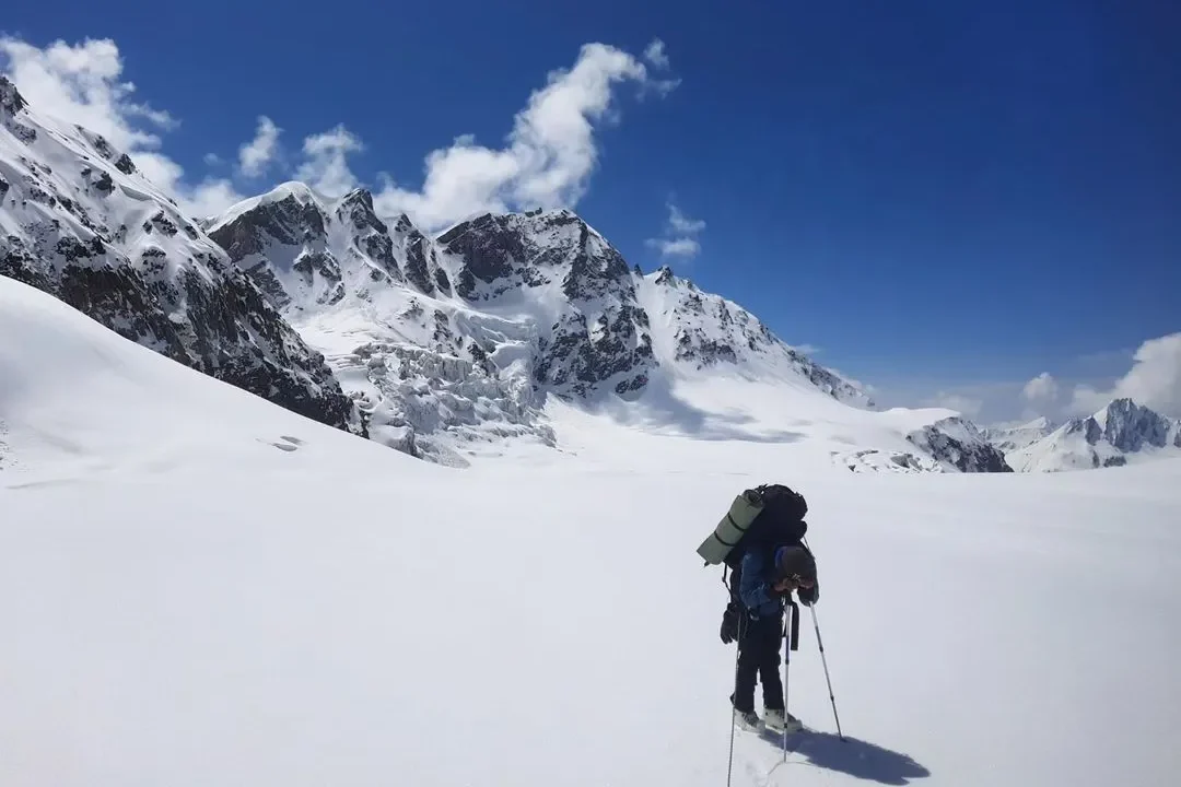
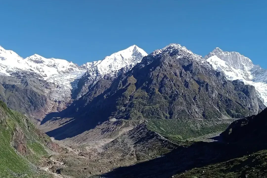
The Khatling Glacier lies on the lower slopes of the Bharti Kuntha Peak of the Garhwal Himalayas in the Tehri district of Uttarakhand. The Bhilangana River originates from the 1.5 km long glacier. Khatling is home to a number of smaller glacial lakes like Sahastra Tal to its west in the Bhilangana Valley. It is one of the most challenging glacier treks with large boulders, vertical moraine walls, and loose icy gravel on its trail. You can trek higher up to Vasuki Tal and further to the sacred town of Kedarnath.
| Attribute | Details |
|---|---|
| Region | Garhwal Himalayas, Uttarakhand |
| Base Camp | Ghamsali or Ghuttu, Tehri |
| Difficulty | Difficult |
| Total Distance | 45 Km |
| Altitude | 3,717 m/ 12,195 ft |
| Minimum Age | 15 years |
| Terrain Type | Forest, Meadows, Ridges, Open Valleys, Boulders, Frozen Loose Soil, Gravel Mud |
| Ideal For | Adventure, Nature Beauty, Camping, Trekking |
| Best Season | May to June and August to October |
| Nearest Town/City | Ghansali |
Highlights of the Khatling Glacier Trek
- The trek to Khatling Glacier starts from Ghuttu village, which is around 62 km from Tehri. From Ghuttu you will trek to the beautiful village of Gangi which is populated by the locals.
- The trek from here gives you scenic views of the Panwali Kantha Bugyal leading to the Devkhuri Village, the winter settlement of Gangi residents, through the rough narrow trails.
- From here, the trek leads to Kalyani and Kharsoli before ultimately reaching the Khatling Glacier.
- Kharsao Forest: The trail for the Khatling glacier trek takes you through the dense and green forest of Kharsao along with beautiful alpine meadows.
- Khatling Glacier can be accessed via various points like Gangi, Malla Sahastra Tal, and Rudugiara Peak.
- Flora: Thuner, Buransh, Alpine shrubs, Chir Pine, Fir, Oak, Wild Flowers, Rhododendrons
- Fauna: Himalayan Brown Bear, Himalayan Black Bear, Himalayan Bharal
- Visible Peaks: Jogin Peaks, Brahmasar Peaks, Sphetic Pristwar, Barte Kauter, Kirti Stambh, Auden’s Col, and Meru
- Nearby Attractions: Gangi Village, Someshwar Temple, Sahastra Tal, Panwali Kantha Bugyal, Gangadhar Mahadev Temple in Gangi
9) Ralam Glacier
ha.__.rshh)
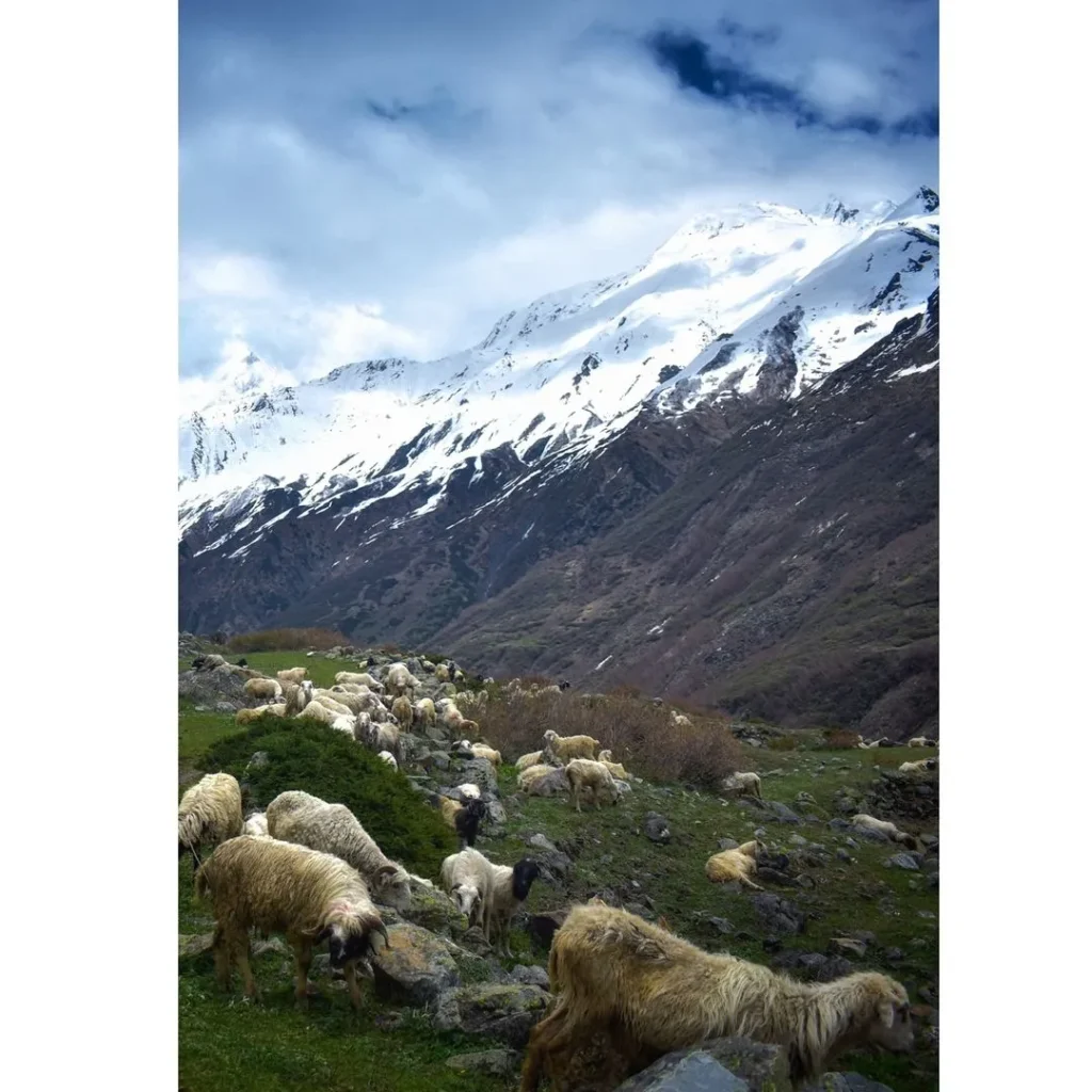
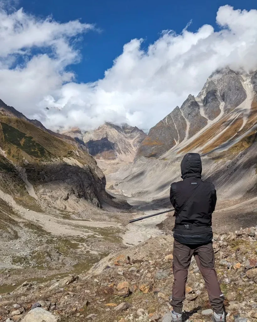
The Ralam Glacier trek starts from the beautiful tehsil of Munsiyari in the Pithogarh district of Uttarakhand. Placed at an elevation of 3,900 m, the glacier is divided into upper Ralam and lower Ralam near Ralam Dhura at Ralam Khal. The Ralam Dhura Pass connects the Ralam Valley and the Darma Valley.
The Ralam Glacier is the meeting point of three other Glaciers–Kalabaland Glacier, Sutela Glacier, and Yangchar Glacier. It is an 8-10 days long challenging glacier trek from Munsiyari that involves tough terrains and narrow ridges.
| Attribute | Details |
|---|---|
| Region | Kumaon Himalayas, Uttarakhand |
| Base Camp | Munsiyari |
| Difficulty | Difficult |
| Total Distance | 96 km |
| Altitude | 3,900 m/ 12,795 ft |
| Minimum Age | 15 years |
| Terrain Type | Forest, Meadows, Ridges, Valleys, Landslide Prone, Riverine Boulders |
| Ideal For | Adventure, Nature Beauty, Camping, Hiking |
| Best Season | May to June and August to October |
| Nearest Town/City | Tanakpur and Kathgodam |
Highlights of the Ralam Glacier Trek
- The Ralam Glacier trek starts from Munsiyari after crossing the Gori Ganga to enter the Ralam Valley.
- From here, the trekkers need to cross the Ralam Gad (river) to reach the Paton Village to camp further at Kiltham.
- The ascent becomes easier from Kiltham with open valleys reaching towards the Ralam village.
- The distance from Ralam Village to Ralam Glacier via Galpadi is about 10-11 km to and fro.
- Ralam Village: The small village is inhabited by the locals from the Johar Valley during the flooding of lower sections of the region. The village provides beautiful views of the peaks like–Barpu Dhura, Kalaganga Dhura, and Bamba Dhura.
- Flora: Keeda Jadi, Alpine shrubs, Pine, Fir, Oak, Wild Flowers
- Fauna: Himalayan Black Bear, Blue Sheep, Snow Leopard, Musk Deer
- Visible Peaks: Sipu Peak, Suli Top, Nanda Devi, Nanda Kot, Trishul Peak
- Nearby Attractions: Damfu Bugyal, Kalabaland Glacier, Ralam Village, and Paton Village
10) Chorabari Glacier
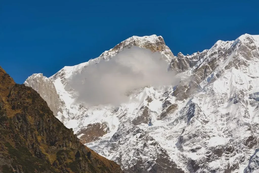
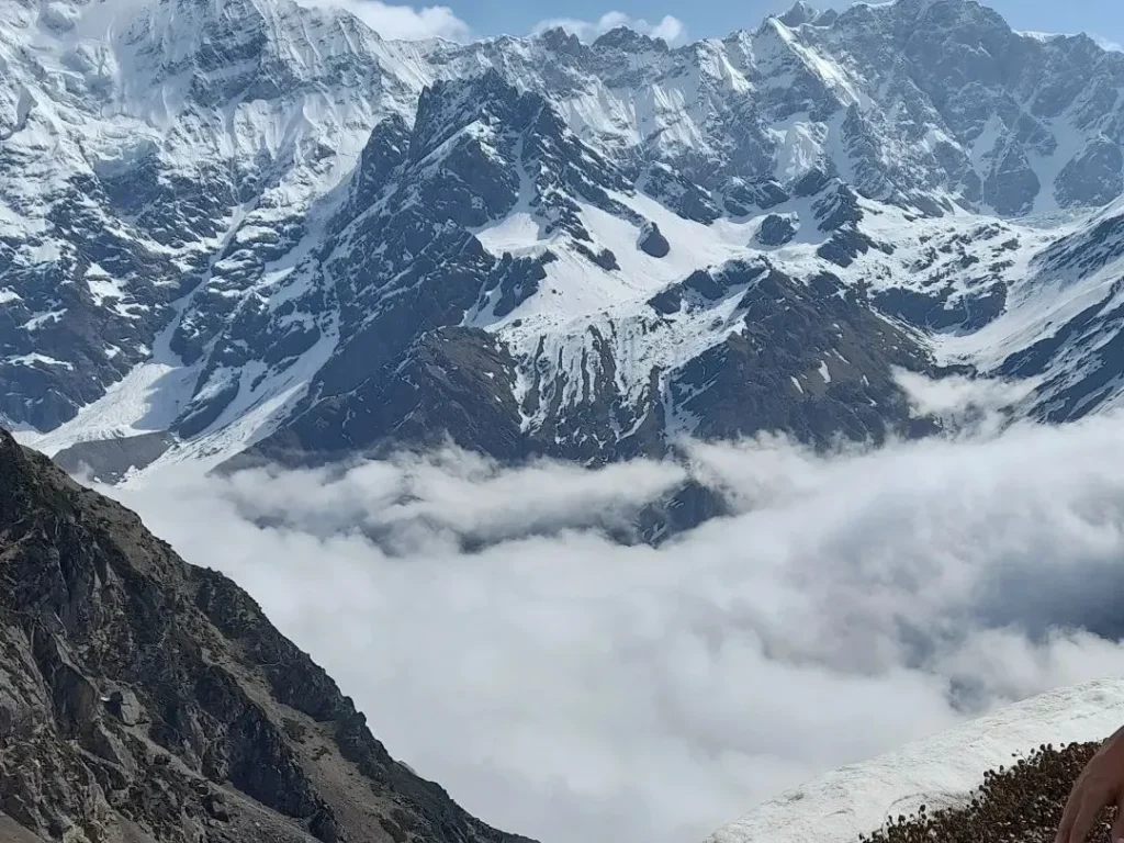
The Chorabari glacier or Chorabari Bamak is a challenging glacier treks in the Garhwal Himalayas in Uttarakhand’s Rudraprayag district. It has two snouts, one is the origin of the Mandakini River and the other drains into the Chorabari Tal. The Chorabari Tal is located 3-4 km upstream from the holy shrine of Shri Kedarnath temple at the foot of Kedarnath and Kirti Stambh mountains. The lake is also known as Gandhi Sarovar Lake or Gandhi Lake as the ashes of Gandhiji were scattered here.
The Chorabari Glacier is spread across an area of 6.6 km2 at an elevation of 5,011 m, its thickness ranges from 30-75 m. The glacier lies between the Kedarnath peak towards its north and Kedarnath town towards its south. The ascent to Chorabari starts along the beautiful Mandakini Valley reaching the open alpine meadows of Kedartal. From here, the trek to the glacier becomes highly challenging with rocky ridges, narrow trails, moraines, and boulders ideal for seasoned climbers.
| Attribute | Details |
|---|---|
| Region | Garhwal Himalayas, Uttarakhand |
| Base Camp | Gaurikund |
| Difficulty | Difficult |
| Total Distance | 46.5 km round trip |
| Altitude | 5,011 m/ 16,440 ft |
| Minimum Age | 15 years |
| Terrain Type | Alpine trails, Boulders, Snow ridges, Valleys, Moraine |
| Ideal For | Adventure, Nature Beauty, Camping, Birding |
| Best Season | May, June, September, October, November |
| Nearest Town/City | Kedarnath |
Highlights of the Chorabari Glacier Trek
- Spiritual Significance: The trek to Chorabari Glacier starts near the spiritual town of Kedarnath. It is believed that Lord Shiva gave sermons about yoga to the Saptarishis near the Chorabari Lake. The devotees visit the Chorabari Tal in the morning before worshipping Lord Shiva in Kedarnath Temple.
- Flora: Rhododendrons, Oak, Fir, Spruce, Brahma Kamal, and other alpine shrubs.
- Fauna: Himalayan Tahr, Himalayan Griffon, Musk Dear, Black Bear and Snow Leopards
- Visible Peaks: Kedarnath Peak, Thalay Sagar, Meru, Sumeru, Bhart Khunta Peak
- Nearby Attractions: Kedarnath Shrine, Gauri Kund, Bhairav Nath Temple, Shankaracharya Samadhi.
Summary
The glacier treks in Uttarakhand offer a sense of peace, adventure, and excitement to the travelers. Each trekking route presents its unique challenges and rewards, making it a memorable experience for all who dare to explore. Hikers appreciate the warm welcome from the communities they meet in the hilly villages on the difficult trekking trails. The journey offers beautiful views and a deeper understanding of nature. If you want to escape your routine, consider exploring the untouched glaciers of Uttarakhand. The mountains are calling, and they promise adventures that will stay with you long after you return home.
Reference
https://kumaon.gov.in/pages/display/78-sunderdunga
https://bageshwar.nic.in/adventures
https://kumaon.gov.in/pages/display/77-pindari-glacier
https://uttarakhandtourism.gov.in/trek/pindari-glacier-trek
https://www.team-bhp.com/forum/travelogues/229590-trek-pindari-glacier.html
https://kumaon.gov.in/pages/display/79-kafni-glacier
Leave a Comment