Uttarakhand, known for its stunning landscapes and rich biodiversity, offers a variety of trekking experiences through lush forest trails. Whether in a national park or a village, these hiking trails lead you into dense wilderness, offering a blend of culture, spirituality, and nature’s abundance.
Forests are the largest ecosystem on Earth by area and are home to diverse animal species and vegetation. The forest trails in Uttarakhand are marked pathways within the reserved or community forests spread across Garhwal and Kumaon regions. While these often serve the purpose of biodiversity conservation, forests offer ample opportunities for exploration and recreation.
Planning a solo trip or a weekend getaway with family and friends into the dense forests? Here, we will discuss some of the best forest-based treks in Uttarakhand and their special features, providing additional tips to help you plan your rendezvous with nature’s haven.
Table of Contents
List of 11 Best Forest Trails in Uttarakhand
Are you seeking an escape from the busy city life, leaving behind the noise for the quiet and serenity of nature? If yes, here are some of the best forest trails in Uttarakhand that you can add to your travel bucket list:
1. Trail from Devalsari to Nag Tibba
| Attributes | Details |
| Region | Tehri Garhwal |
| Basecamp | Thatyur |
| Difficulty Grade | Easy to Moderate |
| Cost | |
| Total Distance | 13 km round trip |
| Altitude Range | 1,800 m to 3,048 m/ 5,905 ft to 10,000 ft |
| Type of Forest | Evergreen Forest |
| Wilderness Designation | Reserved Forests |
| Best Time To Visit | March to July and September to December |
| Activities | Birding, Camping, Nature Walk, Forest, Trekking |
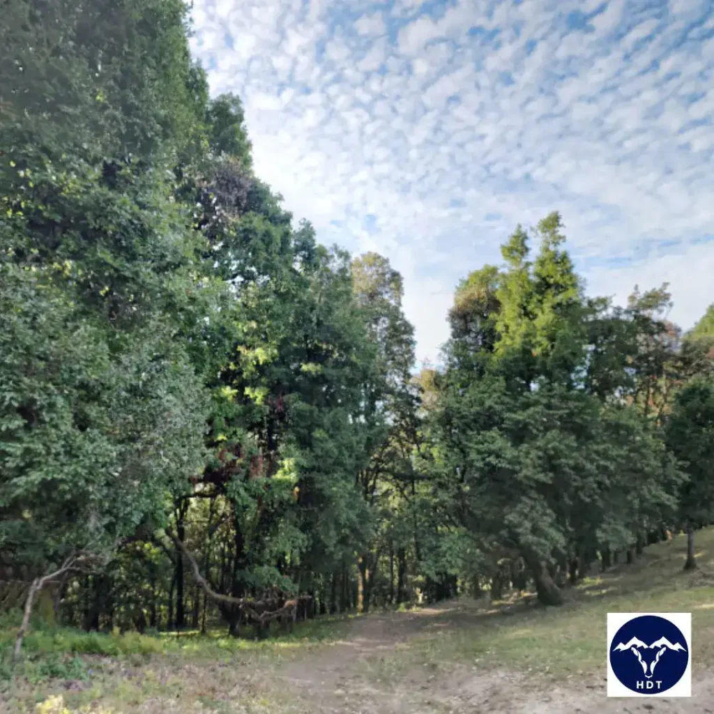
Located around 55 km from Mussoorie, Devalsari Village (1,800 m) is named after the Deodar trees found here at such a low altitude. This beautiful village in the Aglar Valley of Tehri Garhwal District serves as one of the three base camps for the Nag Tibba Trek.
Devalsari’s evergreen forest is famous for its 200 rare species of butterflies and 150 species of birds. The route features dense forests with a few clearings that offer views of the Garhwal Himalayas range and several terraced fields of nearby villages.
Special Features Of The Forest Trail from Devalsari to Nag Tibba
- Flora: Chir, Deodar, Banj Oak, Rhododendron, and Moru Oak.
- Fauna: Leopard, Himalayan Goral, Wild Boar, Red Jungle Fowl, Himalayan Black Bear, Golden Jackal, Rhesus Macaque, Grey Langur.
- Birds: Collared Owlet, Hodgson’s Treecreeper, Blue-throated Barbet, Khalij Pheasant, Wedge-tailed Pigeon, Golden Bush Robin, and many more.
- Butterflies: Azure Sapphire, Siren, Common Copper, Painted Lady, and Common Banded Peacock. Plan your visit between April and October to see some of India’s rarest butterfly and moth species.
- Local festivals and nearby attractions: Locals in Devalsari celebrate festivals like Baisakhi in April and Buddhi Bagwali (one month after Diwali). You can visit several Nag Devta Temples scattered around the trails to Nag Tibba and the Shiv temple of Koneshwar Mahadeo in Devalsari.
2. Trail from Gorsali Village to Dayara Bugyal
| Attributes | Details |
| Region | Tehri Garhwal |
| Basecamp | Thatyur |
| Difficulty Grade | Easy to Moderate |
| Cost | |
| Total Distance | 13 km round trip |
| Altitude Range | 1,800 m to 3,048 m/ 5,905 ft to 10,000 ft |
| Type of Forest | Evergreen Forest |
| Wilderness Designation | Reserved Forests |
| Best Time To Visit | March to July and September to December |
| Activities | Birding, Camping, Nature Walk, Forest, Trekking |
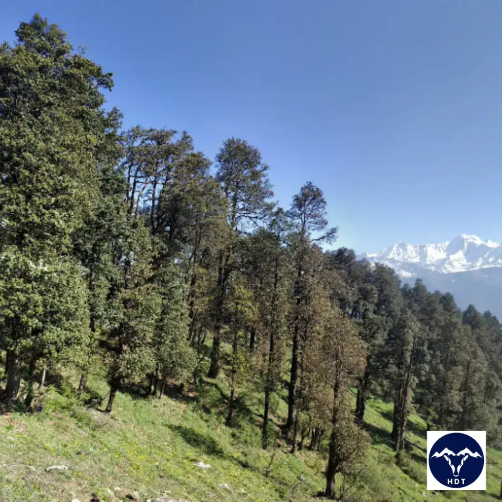
You must have heard of the popular trekking route to Dayara Bugyal from Raithal Village which is easy and very common. If you want to attempt a relatively more challenging and offbeat route, then the forest trail from Gorsali Village is your ideal fit. This small village is located 8.8 km from Bhatwari in Uttarkashi District.
The forest trail from Gorsali starts with a gentle slope as you reach Moyi. From here, you will experience a slight shift in gradient to steeper slopes with loose gravel, narrow trails, and uneven terrain to reach Kandar ki Dhar. Further, a 3-5 km hike will take you to Bakaria Top, the highest point of Dayara Bugyal.
Special Features of the Forest Trail from Gorsali Village to Dayara Bugyal
- Flora: Pine, Deodar, Rhododendrons, Chir, Banj oak, Tilonj oak, Kharsu oak
- Fauna: Himalayan Sheep, Ibex, Leopards, Brown Bear, Monal
- Scenery: This exciting and adventurous forest trail from Gorsali Village is covered with canopies of alpine greens painted by Rhododendrons and wildflowers. On your way up to Dayara Bugyal, the chirping of birds and the sight of sheep grazing the vast pasturelands offer unparalleled beauty.
3. Trail in Valley of Flowers National Park
| Attributes | Details |
| Region | Chamoli district |
| Basecamp | Govindghat |
| Difficulty Grade | Moderate |
| Entry Cost | Rs. 150 for Indians Rs. 650 For non-Indians |
| Distance | Approx 34 km |
| Altitude | 3,200 m to 6,590 m/10,500 ft to 22, 802 ft |
| Best Time To Visit | June to October; attempt a monsoon trek for the best experience |
| Type of Forest | Broadleaf and Coniferous Forests, Sub-Alpine Forests, Boreal Forests |
| Wilderness Designation | Protected Area under National Park |
| Activities | Trekking, Hiking, Picnic, Photography, Birdwatching, Nature WalkNote: Camping is not allowed inside the Valley of Flowers National Park. |
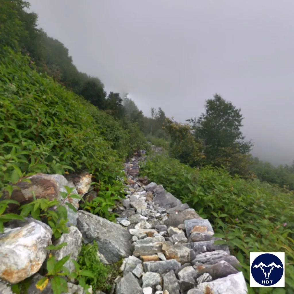
Exploring forest trails in Uttarakhand is incomplete without a visit to the Valley of Flowers National Park. It is situated in the Pushpawati River valley (upper) and hangs over the Bhyunder Valley in the Garhwal region. Doing justice to its name, the trail inside this national park fills the scenery with the sweet smell of Rhododendrons, Primroses, and wildflowers, which give a burst of colour to the lush greenery.
This is one of the oldest forest trails in Uttarakhand and a centre of ecological studies with its rare species of flora and fauna. The trek to the Valley of Flowers starts from Govindghat and Ghangharia Village (proceed on foot from here). The trail from here passes through Pulna and Bhyunder Villages, with multiple small meadows, streams, waterfalls, bridges, and dense canopies.
Features of the Forest Trail in Valley Of Flowers National Park
- Flora: 650+ species of flowers- Brahma Kamal, Blue Poppy, Daisies, and Cobra Lily.
- Fauna: Asiatic Black Bear, Snow Leopard, Musk Deer, Brown Bear, Red Fox, and Blue Sheep
- Peaks: Nar Parbat, Nilgiri Parbat, Rataban, Gauri Parbat, Saptasring.
- Ideal For: The trail inside the park features meadows in the lower parts, loose gravel and sand in the middle, and alpine terrain in the higher reaches. Given the high altitude and mixed terrain, this trail is suitable for beginners who are physically fit and experienced trekkers.
4. Trail of Nachiketa Tal Day hike
| Attributes | Details |
| Region | Uttarkashi District |
| Basecamp | Chaurangi |
| Difficulty | Easy |
| Entry Cost | Rs. 10 |
| Distance | 8 km |
| Altitude | 2,454 m/8,050 ft |
| Best Time to Visit | April to November |
| Type of Forest | Moist Temperate Forest |
| Wilderness Designation | Panchayat (Community) Forest |
| Activities | Day Hike, Nature walk, Lake Trek, Birding |
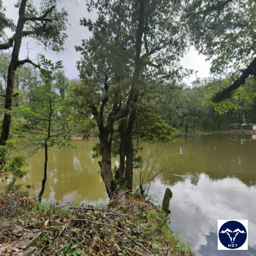
Looking for a weekend getaway in the forest trails of Uttarakhand that is refreshing and easy to access? Your search ends at the Nachiketa Tal which will enchant you with its green trails and aquatic species. This sacred lake is located 26 km from Uttarkashi.
To start your hike to Nachiketa Tal, arrive atChaurangi Khal from Uttarkashi. From here you can buy the entry ticket to the forest trail. Reaching Nachiketa Tal takes about a 4 km short hike, here you will find a clear elliptical lake brimming with fishes, surrounded by lush greenery.
Features of the Nachiketa Tal Day Hike
- Flora: Oak, Birch, Pine, Deodar, Rhododendrons, Wildflowers, Walnut Tree, Hazel
- Fauna: You will encounter many species of birds and butterflies deep in the woods and several fishes and other aquatic species inside the lake.
- Local Deities and Mythology: The Lake is a centre of Hindu mythology, it is said to be named after King Udalak’s son Nachiketa. His son went to the Yamlok through this lake. The locals worship Nag Devta near the lake and take a dip on the auspicious occasion of Nag Panchami.
- Ideal For: Family with Kids, Senior citizens, Nature lovers, and Solo travellers. The terrain is easy to cover with a very gentle gradient throughout the narrow but well-marked trails
5. Trail from Chaurangi to Kush Kalyan Bugyal
| Attributes | Details |
| Region | Uttarkashi and Tehri Garhwal District |
| Basecamp | Chaurangi Khal |
| Difficulty Grade | Easy to Moderate |
| Cost | |
| Distance | Approx 35 km |
| Altitude Range | 2,310 m to 3,789 m/7,579 ft to 12,431 ft |
| Best Time to Visit | April to June and September to October |
| Type of Forest | Moist Temperate Forest |
| Wilderness Designation | Panchayat (Community) Forest |
| Activities | Forest Hike, Trekking, Camping, Nature Walk, Sight-seeing, Skiing |
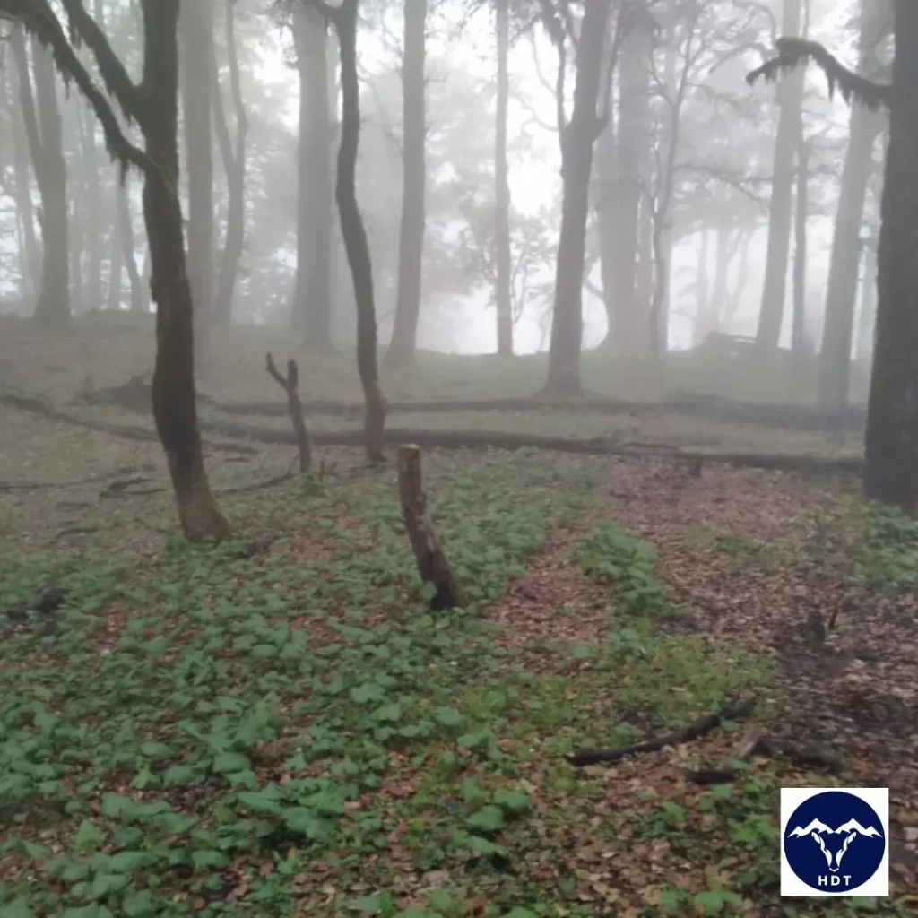
Chaurangi to Kush Kalyan Bugyal is another offbeat forest trail in Uttarakhand which takes you through lush greenery and several alpine meadows. This hiking trail inside the Mukhem forest division of Uttarkashi covers an altitudinal range of 2310 m to 3789 m.
The trail starts from Chaurangi Khal, giving views of nearby villages and the Mukhem Range as you reach Harunta. From here, the trail leads to Belak, offering stunning views of the Kamad Valley and Saraswati Ranges on your way up. Further on the trail, you will encounter many small and large meadows, finally reaching the vast pastures of Kush Kalyan Bugyal. During winter you can experience snowfall and skiing activities on the slopes of its alpine meadows.
Features of the Forest Trail from Chaurangi to Kush Kalyan Bugyal
- Flora: Banj Oak, Moru Oak, Golden Oak, Cedar, Rhododendrons, Wildflowers, Thuner, Knotweed, English Violet, Daisy, and more.
- Fauna: Himalayan Tahr, Ibex, Leopard, Brown Bear, and many more.
- Birds: Yellow-billed/Red-billed Blue-Magpie, Himalayan Monal, White-rumped Vulture, Kalij Pheasant, Himalayan Griffon, Himalayan Woodpecker, and more.
- Visible Peaks: Saraswati Range, Bandarpunch Massif, Swargarohini, Kala Naag
- Local Temples: At Chaurangi Khal, you can visit the Chaurangi Nath Baba Temple, further on the trail you will encounter several small temples in the dense forest. At Kush Kalyan, the temple of Lord Kela Veer adds divinity to the beauty of the vast meadow.
6. Trail of Harsil Sattal Day Hike
| Attributes | Details |
| Region | Uttarkashi District |
| Basecamp | Harsil and Dharali Village |
| Difficulty Grade | Easy |
| Permit Cost | Rs. 123.07 |
| Total Distance | 7-8 km to and fro from Dharali |
| Altitudinal Range | 2,500 m to 3,000 m/ 8,200 ft to 9,843 ft |
| Best Time to Visit | April to June and October to November |
| Type of Forest | Temperate Coniferous Forest |
| Wilderness Designation | Protected Area |
| Activities | Picnic, Hiking, Bird watching, Nature Walk, Photography, Village Tourism |
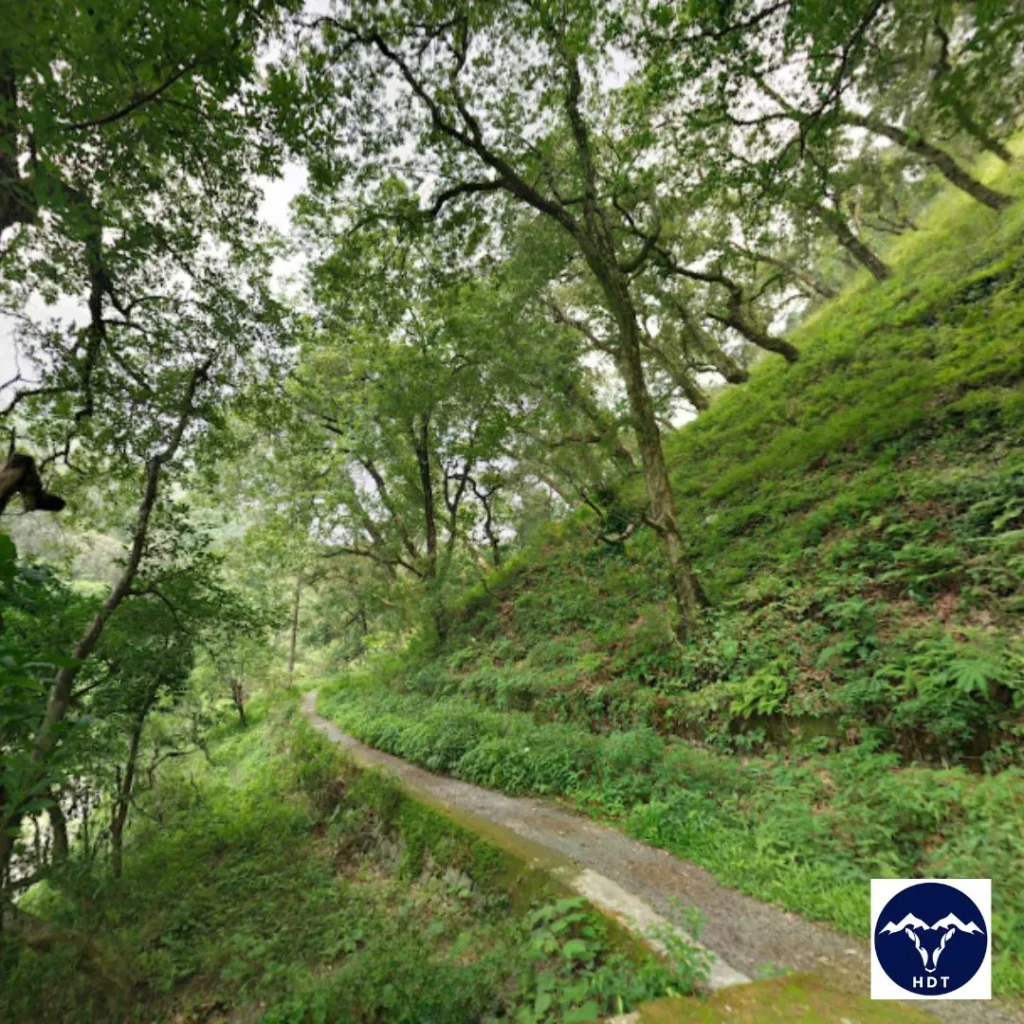
Harsil Valley is one of the hidden gems of the Uttarkashi district with many unexplored forest trails in and around it. One such offbeat trail is to Harsil Sattal, which translates to ‘seven lakes’. The trek starts from Dharali Village, known for its vast apple orchards. It is around 7 km away from Harsil, which you can either cover on foot or by private vehicle.
In between you can explore Bagori and Mukhwa Villages to enjoy the Garhwali cuisine and nearby temples. In Dharali, you can rest and visit Kalp Kedar Mandir, an ancient temple from the times of Mahabharata. As you ascend, you will encounter Mirdunga Tal, Chadgiya Tal, Dawariya Tal, Bamniya Tal, Rikh Tal, Ghandoliya Tal, and Sankhtala Tal. During summer some lakes dry up and become wetlands, you can visit after monsoon to see all seven of them.
Features of the Forest Trail of Harsil Sattal
- Flora: Himalayan Birch, Chir Pine, Deodar, Himalayan Oak, and many more. Plan your visit during Spring to experience the blooms of Apple Blossoms and Rhododendrons.
- Fauna: Brown Bear, Black Bear, Himalayan Langurs, Bharal, Himalayan Goral, Himalayan Monal, Spectacled Finch, Himalayan Blue Tail.
- Ideal For: This a very easy day hike with well-marked trails. It is suitable for all, from kids to senior travellers, beginners, and seasoned trekkers.
7. Trail from Agoda to Dodital Lake
| Attributes | Details |
| Region | Uttarkashi |
| Basecamp | Sangam Chatti |
| Difficulty Grade | Moderate |
| Cost | |
| Total Distance | Approx 32 km |
| Altitudinal Range | 2,251 m-3,024 m/ |
| Best Time to Visit | April to June and September to November |
| Type of Forest | Montane Forest and Temperate Deciduous Forest |
| Wilderness Designation | Panchayat (Community) Forest |
| Activities | Bird Watching, Wildlife Photography, Eco Trekking, Trail Hiking |
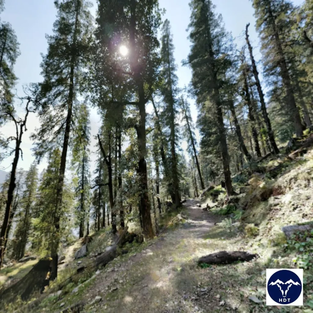
If you are looking for a forest trail rich in natural beauty with an element of spirituality, the Agoda to Dodital Trail is perfect. Famous as the birthplace of Lord Ganesh, Dhundhital or Dodital is located in the Assi Ganga Valley in Uttarkashi.
The forest trail starts from Agoda Village, 6 km from Sangam Chatti, where you can stay in Forest Rest Houses. A 1.5 km further hike on the well-marked trail with small bridges and streams will take you to Bebra Village. From here, you will cover a distance of 9 km to reach the Manjhi camping site, passing through Kanseru village. Further, a 5-6 km trek on a gentle gradient into the deep woods will take you to Dodital Lake.
Features of the Trail from Agoda to Dodital Lake
- Flora: Banj Oak, Moru Oak, Cedar, Deodar, Pine, Rhododendrons, Wildflowers, and more.
- Fauna: Himalayan Trout, Ibex, Bharal, Brown Bear, Snow Leopard, Himalayan Tahr, Musk Deer, Black Beer, Himalayan Langur, Red Fox, Goral, Barking Deer.
- Birds: Red-headed vulture, Bearded vulture, Egyptian vulture, Himalayan vulture, Steppe eagle, Western tragopan, and Cheer pheasant.
- Local Deities and Temples: The trail from Agoda to Dodital offers mythological significance dotted with many temples as you approach the zero point. These include Annapurna Devi and Ganesha Temple at Dodital, and others like Bhairav Devta Temple (3 km from Dodital).
- Ideal For: It is an accessible route with no tricky terrain, ideal for beginners who want to experience forests, meadows, and snow.
8. Trail from Wan to Ali Bedni Bugyal
| Attributes | Details |
| Region | Chamoli district |
| Basecamp | Wan/Lohajung |
| Difficulty grade | Easy to Moderate |
| Cost | |
| Distance | Approx 42 km |
| Altitude | 2439 m-3354 m |
| Best Time To Visit | April to November; avoid monsoon |
| Type of Forest | Tropical and Sub-Tropical Coniferous Forest |
| Wilderness Designation | Eco-Sensitive Zone |
| Activities | Forest Hike, Camping, Picnic, Trekking, Astrophotography |
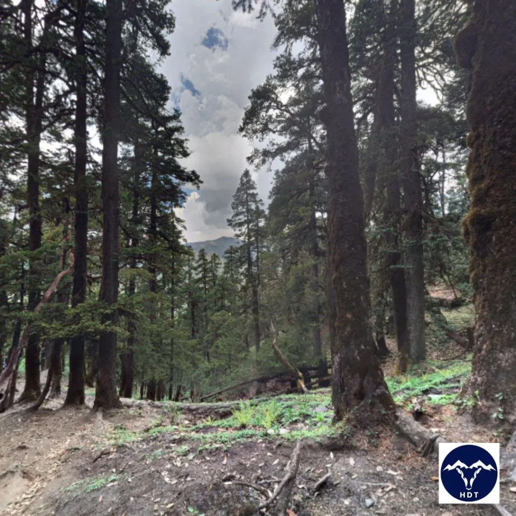
Imagine a forest trail through dark, moss-covered woods, offering clear views of notable peaks like Trishul, Nanda Ghunti, Chaukhamba, and Neelkanth. That is the Wan Village to Ali Bedni Bugyal trekking route for you—one of the most beautiful forest trails in Uttarakhand.
The trail to Ali and Bedni alpine meadows starts from Wan Village, where you can rest and acclimatize. The 11 km further trek covers a downhill trail till the Neel Ganga River and then uphill as you approach Bedni Bugyal. This high-altitude meadow is the perfect spot for camping and resting in the vast grassfields. From Bedni Bugyal, a further 10 km hike will take you to another dreamy destination of Ali Bugyal.
Features Of The Forest Trail from Wan to Ali Bedni Bugyal
- Flora: The trail features a dense forest of Oak, Pine, Cyprus, Cedar, and Deodar Trees lined with colourful Wildflowers and Rhododendrons.
- Fauna: Musk Deer, Snow Leopards, Himalayan Tahr, and other rare species. Upon reaching Ali Bedni, you will find Wild Horses grazing on the soft grass of the alpine meadow, truly a sight to behold.
- Local Deities and Temples: The trail from Wan Village passes through many small temples. The notable ones are Latu Devta Temple and Ran-Ka-Dhar (the famous battle between Devi Parvati and Lohasur was fought here). You can visit the Vaitarani Lake or Bedni Kund near Bedni Bugyal to offer your prayers.
- Ideal for: It is a popular destination for both, new and seasoned trekkers, thanks to its accessible pathways and gentle slopes. From 10-year-old kids to retired seniors, this forest trail is suitable for all.
9. Trails in Jim Corbett National Park
| Attributes | Details |
| Region | Nainital District |
| Basecamp | Ramnagar |
| Entry Cost | Indians: Rs. 200/personNon-Indians: Rs. 1000/personNote: These are approximate values, extra charges may apply. |
| Distance | Dhikala Zone: 118 km |
| Malani: 40.6 km | |
| Mohan man-eater trail: 8 km | |
| Altitude | 324 m to 3,208 m/ |
| Best Time To Visit | Mid-October to Mid-June |
| Type of Forest | Deciduous Forest |
| Wilderness Designation | Protected Area under National Park |
| Activities | Jungle Safari, Trekking, Nature Walks, Hiking, Birding, River Rafting |
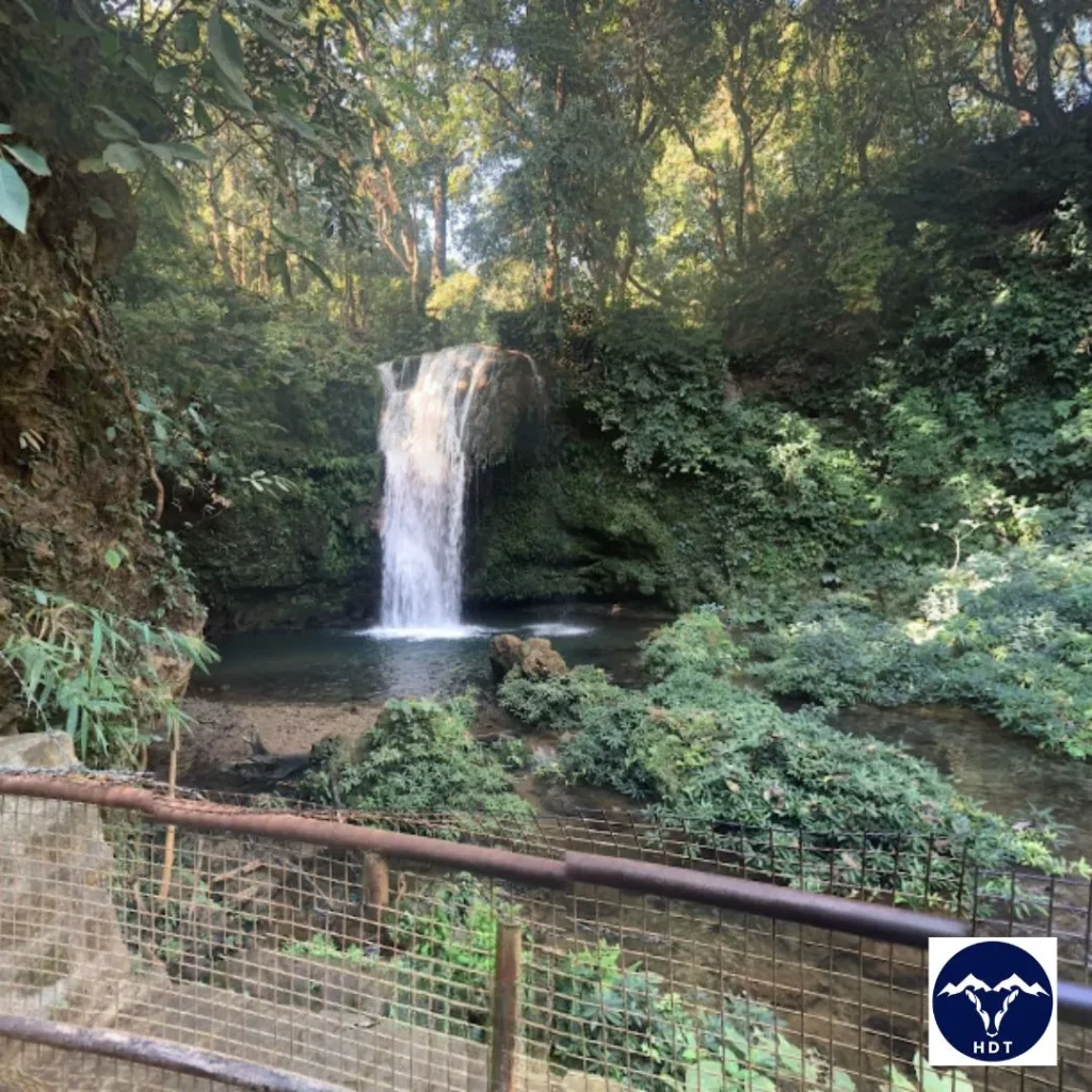
Exploring the jungle trails inside the Jim Corbett National Park gives a one-of-a-kind experience amidst riverine belts, hills, grasslands, and wildlife. Established in 1936, it is one of the oldest protected areas in India, known for Tiger reserves in Uttarakhand. The 520.82 km2 area of the Park is divided into eight zones–Dhikala, Bijrani, Jhirna, Durgadevi, Sonanandi, Garjiya, Pakhro, and Dhela.
Features Of The Forest Trails in Jim Corbett National Park
Trekking in Jim Corbett is prohibited, however, certain zones and forest trails are open for visitors, a few of them are:
- Dhikala Zone: A very challenging and popular forest trail that introduces you to a variety of wildlife such as Barking Deer, Sambar, Elephants, and rare species of birds. Apply for the permit on the official website or offline in advance to venture into this zone.
- Malani Trail: Takes you inside the jungle and is also a safari route that features species of Tigers, bears, Sambar, barking deer, and leopards.
- Sitabani Trails: Here, the trails take you into dark and dense forests. You can spot Elephants, Sambar Deer, Monkeys, and Jackals inside this region.
- Mohan Man-eater Trail: Used by Jim Corbett to hunt Tigers, this trail takes you through hilly terrain, small streams, dense forests, river beds, and small meadows.
10. Trail from Sagar village to Rudranath
| Attributes | Details |
| Region | Chamoli district |
| Basecamp | Gopeshwar/Sagar Village |
| Difficulty Grade | Moderate To Difficult |
| Cost | |
| Distance | Approx 44 km |
| Altitude | 3,600 m/11,800 ft |
| Best Time To Visit | April to June and August to November |
| Type of Forest | Evergreen Forest, Grasslands |
| Wilderness Designation | Panchayat (Community) Forest |
| Activities | Trekking, Forest Hiking, Camping, Yoga-Meditation |
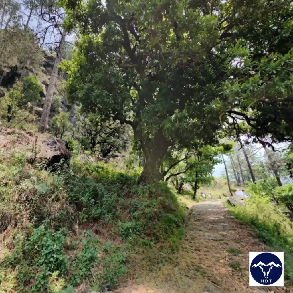
The trail from Sagar Village to the sacred abode of Lord Shiva, Rudranath combines adventure and divinity to the trekking experience. Rudranath is one of the temples that pilgrims visit in the Panch Kedar Circuit, its rock face resembles the face of Shiva. This beautiful forest trail in the Chamoli district of Uttarakhand features rugged terrain with steep ascents and gentle descents.
The trek starts from Sagar village (3 km from Gopeshwar), taking you through dense forests with small meadows and streams. You will encounter Pung Bugyal, Mauli Kharak, and Lyuti Bugyal on the steep trail reaching Punar Bugyal, a beautiful camping site. From here you will ascend to Pitradhar, the highest point of Rudranath. A 6-7 km downward trek will take you to Rudranath Temple, along a small stream and narrow trails.
Features of the Trail from Sagar village to Rudranath
- Flora: Himalayan Oak, Chir Pine, Deodar, Cyprus, Rhododendrons, Fetterbush, Bayberry, Nutgall Tree, Jamun Tree.
- Fauna: Leopard, Brown Bear, Black Bear, Himalayan Tahr, and more.
- Visible Peaks: Nanda Devi, Trishul Parvat, Nanda Ghunti.
- Ideal For: With proper preparation, beginners can complete this moderately challenging trek to Rudranath in 2-3 days. However, a seasoned trekker can complete this fairly challenging trail with stones and steep slopes in just 1-2 days.
11. Trail of Ranthan Kharak Trek
| Attributes | Details |
| Region | Bageshwar District |
| Basecamp | Kathgodam/Gogina |
| Difficulty Grade | Moderate |
| Cost | |
| Distance | Approx 37 km |
| Maximum Altitude | Approx 4,000 m /over 11,500 feet |
| Best Time To Visit | April to June and September to November |
| Type of Forest | Temperate Forest |
| Wilderness Designation | Community Forest |
| Activities | Trekking, Camping, Forest Hiking, Birdwatching |
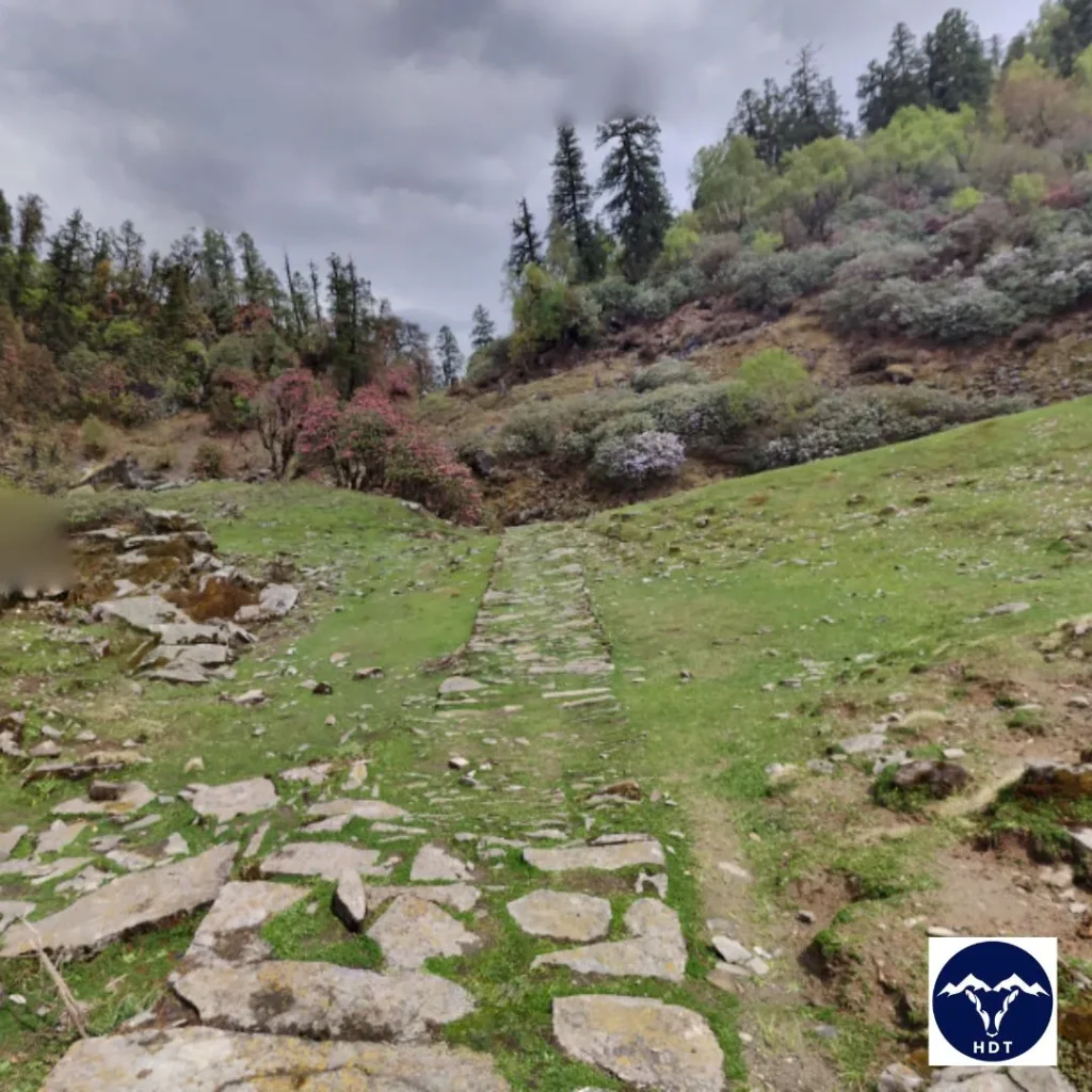
Ranthan Kharak Trek offers one of the most thrilling and scenic forest trails in the heart of the Kumaon Region of Uttarakhand. The beauty of this trail is straight out of a fairytale with dense canopies lined with blooming Rhododendrons, vast meadows, waterfalls, and streams.
The forest trail starts from Gogina Village, accessible from Kathgodam by road. Further 6-7 km hike through a zig-zag trail along Ramganga River with hanging cliffs and steep slopes will take you to Namik Campsite. Here, you can relax overnight and explore the Namik Glacier. The next lap of the trek will take you to Bajimanian Kharak. Further, your next stop would be Chophu Top which is accessible via Thal Tok, a U-shaped lowland. From Chophu Top, follow the tracks along the ridges and ledges to reach the Ranthan Kharak.
Features Of The Ranthan Kharak Trek
- Flora: Himalayan Birch, Deodar, Oak, Pine, Maple Trees, Ringaal, Snake Berries, Thuner
- Fauna: Yellow-throated Marten, Barking Deer, Himalayan Black Bears, Himalayan Pikas
- Birds: Barbet, Verditor Flycatchers, Laughing Thrushes, and woodpeckers.
- Visible Peaks: The trek along its ridges gives a 180° view of notable peaks like Nanda Devi, Sunanda Devi, Nanda Kot, Mt. Dangthal, Mt. Mrigthuni, Panchachuli peaks
- Ideal for: This moderate trek is beginner-friendly. However, it features a variety of alpine landforms with ridges and boulders that require high-altitude trekking experience.
Challenges of Hiking into Forests
Now that you have read about the best forest trails you can explore in Uttarakhand. It is important to consider the challenges that these trails come with. These are:
- Lack of Basic Amenities: The forest trails often take you deep into the woods that cut you off from human habitations. Basic facilities like electricity, drinking water, and food are not available. At high altitudes, the networks are unavailable, making it risky during emergencies.
- Stay Alert: Uttarakhand’s forests are home to several animal species you may face at any point while hiking. Beware of Brown Bears, Leopard, Langurs, and other reptiles by following safety protocols of not making loud noise, staying calm, and being alert.
- Risks of Injury: The forest trails include a mix of terrain which can be easy with gentle slopes at some points and rugged rocky at another. You may have to cross cascading streams with big boulders which can be muddy and slippery. These pose a risk of falling, cuts, wounds, or ankle sprain.
- Unmarked Paths: Many Unexplored forest trails in Uttarakhand are not well-maintained with defined routes. Without prior research or guidance, there is a risk of getting lost in the deep woods.
- Forest Fires: Forest fires are common during the dry summer season, and human activities add to the threat. Avoid carrying volatile substances when hiking in the forests. Take extra care when camping and dispose of cigarettes and matchsticks carefully.
Tips for Hiking on Forest Trails
Do not let the above-mentioned challenges scare you. You can avoid these mishaps with thorough planning and responsible travel. Many forest trails in Uttarakhand have pit stops for relaxation, food, and supplies. Additionally, you can also follow these tips:
Physical and Mental Preparation
Trekking in the forest includes all types of terrains, from steep ascents to slippery ground. Include cardio and strength training in your daily routine to maintain reasonable fitness. Acclimatize for a day at the base camp to get familiar with the high altitude.
These forest trails are challenging, demanding mental strength to cover long distances. For this, you must study and research the area and check weather forecasts to plan well. Apply for permits and book your stay in advance to avoid any hiccups.
What To Pack For Forest Trekking?
The basecamps and campsites along the forest trails in Uttarakhand offer many homestays and food stalls for hikers. However, carry personal supplies to prepare well:
- Pack energy-dense and high-protein snacks and food to stay active throughout the journey.
- Use an ergonomic backpack and pack light to reduce stress while hiking.
- Carry sturdy trekking poles, hiking boots, and an extra pair of sandals to cross river streams.
- Wear moisture-wicking layers and good-quality hiking socks to stay dry and rash-free.
- A checklist for additional tools: Refillable water bottle, first aid kit, knife, emergency shelter, sunscreen, mosquito repellant, trash bag, and flashlight.
- Do not rely on mobile networks. Carry a compass, a GPS device, a satellite phone, or a physical map to ensure you stay on track.
Trek With Responsibility (Leave No Trace)
Human activity in these untouched areas often negatively impacts the native flora and fauna. For responsible hiking without disturbing the fragile ecosystem of the forest, follow these pointers:
- Follow the designated trail to ensure you do not disturb the wilderness which is home to several rare species from big animals to small insects.
- Protect the property of forest authority. Avoid defacing sign boards, tree trunks, rocks, or any infrastructure.
- Follow the policy of ‘Leave no trace’ by not littering and keeping the area clean and pristine.
- Avoid human-wildlife conflict by not feeding wild animals and destroying any plant or animal specimen, whether dead or alive.
- Do not carry speakers, crackers, firearms, harmful chemicals, or combustible substances. Avoid hooting and playing songs in the forest.
- Always inform your friends and family where you are headed. If you have a GPX file then consider sharing it with them also.
Venture Into The Forest Trails of Uttarakhand
The forests have been an important centre for meditation since ancient times in India. They heal your core and are perfect to find your place in the world. Whether it is an easy day hike to Nachiketa Tal or a spiritual journey to Rudranath, the forest trails in Uttarakhand combine natural beauty with thrilling experiences. One cannot express the beauty of these green trails that cover your path with different shades of blooming flowers and rare butterflies.
While hiking, respect the locals and travel responsibly to maintain the beauty of these forests for ages to come. Plan your journey with friends, family, or solo to explore the treasures of forest trails in Uttarakhand!

Leave a Comment