Overview
The Kipling Trail trek is one of the most historically significant and rewarding day hikes in Uttarakhand. With an average elevation of above 2,000 m, it traces the oldest route between Dehradun and Mussoorie. Long before the motorable road existed, this 9 km trail was the only way up to the Queen of Hills. It was used by all kinds of travellers, from British officers on horseback to local porters on small carts called Gattus. Today, it has become a favourite hike among trekkers, birdwatchers, and history lovers who prefer this unhurried path over the noise of the highway.
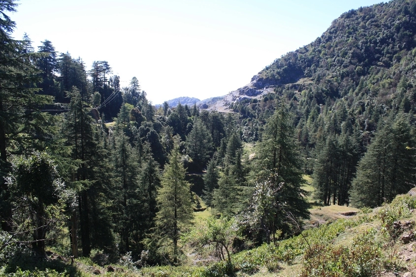
The Kipling trail starts from the Shahanshahi Ashram in Rajpur, Dehradun, and climbs steadily to Mussoorie Library Chowk. Along the way, it passes through Jharipani and Barlowgunj. These villages still wear their colonial past in the form of old stone buildings, brewery walls, and a school founded by the East India Railway Company.
The trek is also known as the Bridle Path or Kipling Road, named after the celebrated writer Rudyard Kipling, who walked this very trail in the 1880s. This visit inspired parts of his famous novel Kim, making it one of the few treks in India with a literary footprint. Ruskin Bond has written about it too in his book The Kipling Road, drawing on the many stories this path carries.
While on the Kipling’s trail trek, you can feel the vegetation and temperature shift around you as you gain elevation from Dehradun to Mussoorie. The trail suits fit beginners, solo travellers, families, and experienced hikers looking for a short and scenic walk through living history.
Ready to explore this serene trail? Let us look at its day-wise itinerary, the best time to visit, difficulty analysis, and how to reach the trailhead.
Itinerary
Drive Distance and Time: 13.9 km; 40 min to 1 hr
Hike Distance and Time: Approx. 9 km; 6-7 hours
Altitude Gain: 3,346 ft/1,020 m at Shahanshahi Ashram (Kairwan Gaon) to 6,657 ft/ 2,030 m at Mussoorie Mall Road
Your journey begins early in the morning in Dehradun. You can reach the Rajpur Chowk via local transport and then walk or drive up to the Shahanshahi Ashram. This place marks the base of the trek.
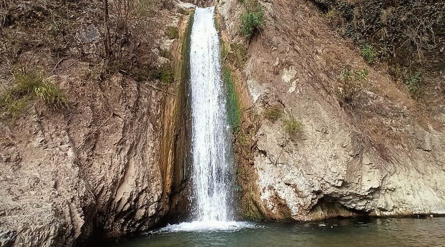
Past a cluster of houses, you reach the Kali Devi Temple on your left. This is where the unmetalled trail officially begins. At a fork just ahead, take the left path to continue your ascent. The right one heads towards Shikhar Falls. The trail immediately gets steep, and within five minutes, you are inside the forest.
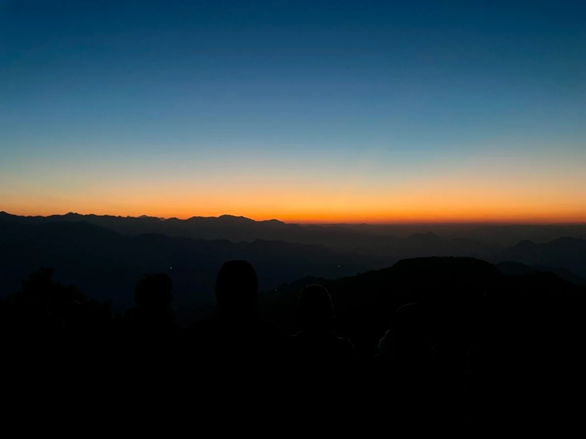
There are no railings on the exposed edges, so keep to the centre of the path. This is important during and after the monsoon, when these sections become slippery. After hiking for 1.6 km, you arrive at the first viewpoint, which is Thappi viewpoint. Here, you will get the sweeping panoramas of the entire Doon Valley and other small villages dotting the surrounding hills. Rest and enjoy the scenery before continuing the hike.
Roughly a few meters before you arrive at Jharipani viewpoint, watch for a dilapidated building on your left with a faded sign reading Half Way House. It was once a rest stop where weary climbers stopped for tea and food before pushing on. Here, the dirt path ends, merging with the metalled road at Jharipani village.
From here, the second section of the trek begins. You will pass through Barlowganj after 2.2 km of climbing, catching bird’s-eye views of the sprawling Dehradun valley below. After Barlowgunj, continue along the main road towards Mussoorie. About 20-30 minutes of walking brings you to Sikander Hall, the summer estate of the Skinner family.
Keep walking on this gradual gradient until you finally reach the Picture Palace or Library Chowk at Mussoorie’s Mall Road. End your hike with a hot cup of tea and some local snacks at Mall Road. After resting, you can explore Mussoorie or take a bus or shared taxi back down to Dehradun, completing your adventure by late afternoon.
Inclusion and Exclusion
Price Inclusion
Transport: Transport from Dehradun
Meal: Lunch
Forest Entry and Permits: All required fuel charges, tolls, forest entry fees, and permits are covered.
Guide: A qualified guide will accompany you.
Emergency Kit: First aid medical kits are provided for safety.
Price Exclusion
Emergency Evacuations: Any charges related to emergency evacuation are not included
Personal Expenses: Any meals or accommodations outside of the provided itinerary or additional services not listed in the inclusions.
5% GST
Check the booking procedure, including details on booking deposits, payment terms, and the cancellation policy.
Difficulty Level
The Kipling Trail is rated easy to moderate. The trail is only 9 km long, takes between 3 and 5 hours, and reaches a maximum altitude of just over 2,000 m. This means altitude sickness is not a big concern for hikers.
What makes it moderately demanding is the incline. The trail maintains a near-constant 30-35 degree gradient for the first 3.5 km, without any flat sections to recover on. Most of the fit beginners handle this well at a slow and steady pace.
The trail surface is partly concrete, partly dirt and gravel, and partly stone. Its cemented sections have degraded and broken up in several places. This makes footing unpredictable on the steeper descents, especially in wet or cold conditions.
There are no shops or water sources in the first section (Shahanshahi Ashram to Jharipani), so carry at least 1.5 litres of water from the start. Stay on the inside of the path on narrow stretches. Overall, this is an excellent entry point for new trekkers and a satisfying trek out for regular hikers.
Things to Carry
- Sleeping Bag
- Common Tent
- Mattress
- Dining Tent
- Camping Stool
- Walkie Talkie (For Team)
- Utensils
1. Clothing
- Outer Layer: 1 Down Jacket (Winter)
- Gloves: (Winter)
- Headwear: 1 Warm Hat + 1 Scarf/Balaclava (Winter)
- Sun Hat: 1 (Summer)
2. Footwear
- Hiking Shoe
3. Backpack & Trekking Gear
- Daypack: 1 (For day-hike)
- Trekking Poles/Sticks: 1 pair
6. Health & Hygiene
- Sun Protection: Sunscreen
- Lip Balm: 1
- Snacks: Energy bars, dry fruits, chocolates
7. Accessories
- Bottle/Bladder: 1
- Sunglasses: 1 (UV-protected and polarized)
How to Reach
By Air
The nearest airport is Jolly Grant Airport, Dehradun, approximately 38-39 km from the Shahanshahi Ashram. From the airport, hire a private taxi directly to Rajpur or take a UTC bus to Dehradun city and then connect to Rajpur by auto or bus.
By Train
Dehradun Railway Station is around 14 km from the trailhead. It has well-established train connections from Delhi, Haridwar, Lucknow, and other major cities. From the station, take an auto or city bus to Rajpur Chowk and walk about 2 km to the ashram, or hire a taxi directly to the trailhead.
By Road
From Dehradun’s Clock Tower (Ghanta Ghar), take an auto-rickshaw or the bus on Rajpur Road to Rajpur Chowk. From Rajpur Chowk, walk 2 km uphill to the Shahanshahi Ashram, or take a direct city bus from Parade Ground (near the Clock Tower) all the way to the ashram.
If you have your own vehicle, drive north on Rajpur Road, stay on the old road at the first Mussoorie diversion, then take the left fork at the second diversion and drive 2.5 km further.
The nearest major railway stations are Haridwar and Rishikesh. From these stations, one can take a taxi or board a bus to Rudraprayag or Ukhimath. The road journey from Rishikesh to Chopta takes around 8 to 9 hours. Regular buses are available to Rudraprayag and limited services to Ukhimath. From Ukhimath, which is about 30 kilometers from Chopta, shared jeeps or private taxis can take you to the base.
If you’re planning to travel by car, it’s better to leave early in the morning and aim to reach Chopta by the afternoon. Ukhimath is the last town with ATM facilities and petrol pumps, so it’s a good place to stop and refuel or withdraw cash. Roads beyond Rudraprayag are narrow but manageable. It is wise to carry enough fuel, cash, and warm clothes.
From Rishikesh take a bus to Karanprayag and from there change buses for Tharali. Tharali is connected to Loahjung and local taxis are available. Alternatively, you can also reach Lohajung via Haldwani. From Haldwani, take a bus to Tharali and from Tharali take a taxi to Lohajung.
Best Time to Visit
The Kipling Trail is an all-season trek, accessible throughout the year except during heavy monsoons. As the trail covers an altitude gain of roughly 3,000 ft, you will experience a noticeable shift in temperature from start to finish.
Here is a detailed breakdown of what to expect during different seasons:
Winter
- Months: November to February
- Temperature: 18°C-10°C during the day; 5°C-0°C at night
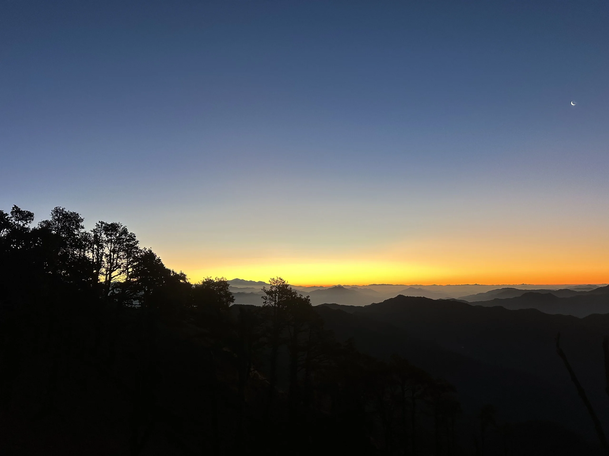
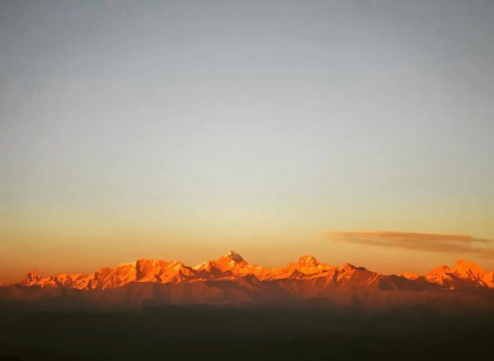
Winter is arguably the finest time to walk the Kipling Trail. The skies are clear for days at a stretch, and the Doon Valley remains visible below you from the very start of the trek. The forest is quieter without leaf cover, which makes birdwatching easier. January and February can bring light snowfall to the upper sections near Mussoorie. Therefore, carry warm layers for the descent into Mussoorie in the evening, as mercury may plummet unpredictably after sunset.
Spring
- Months: March to April
- Temperature: 25°C-17°C during the day; 10°C-7°C at night
After winter leaves the region, spring brings the forest back to life. The path from Shahanshahi Ashram is lined with blooming wildflowers and fresh green foliage. This is the best season for photographers, as the sunlight in the morning hours is exceptional and the colour contrast between the pale new leaves and the blue sky makes for striking images. The weather is comfortable for the climb, and March offers some of the most pleasant conditions of the year.
Summer
- Months: May to Mid-June
- Temperature: 30°C-22°C during the day; 15°C-10°C at night
The Kipling Trail becomes a popular escape for city-dwellers during the summer months, especially for people with family travelling from Delhi. The forest provides ample shade along the well-maintained trail section, making the steep initial climb more manageable. Longer daylight hours give you flexibility on timing, but it is still advisable to start by 7:00 am to avoid the mid-morning warmth. The views of the Doon Valley are good in May before the pre-monsoon haze settles in.
Monsoon
- Months: Late June to Mid-September
- Temperature: 28°C-22°C during the day; 17°C-14°C at night
The trail receives heavy rainfall during the core monsoon months. July and August carry the risk of landslides on the steeper upper sections near Barlowgunj. The steep lower sections near the trailhead may turn slippery during this time. That said, experienced hikers do attempt the trail in the monsoon. On clear days ( in September), the forest is lush, with seasonal waterfalls appearing along the lower slopes. If you choose to go during this period, check the weather forecast the day before and avoid the trail if heavy rain is expected
Autumn
- Months: Mid-September to October
- Temperature: 24°C-17°C during the day; 10°C-6°C at night
Autumn restores the trail to its best form after the monsoon. The skies are clear, the air feels washed, and the Doon Valley views return with utmost clarity. The Banjh Oak forest turns warm ochre and gold through October, making this the most photogenic season on the trail after spring. October evenings in Mussoorie can be cold, so carry a warm layer if you plan to stay overnight.
The nearest major railway stations are Haridwar and Rishikesh. From these stations, one can take a taxi or board a bus to Rudraprayag or Ukhimath. The road journey from Rishikesh to Chopta takes around 8 to 9 hours. Regular buses are available to Rudraprayag and limited services to Ukhimath. From Ukhimath, which is about 30 kilometers from Chopta, shared jeeps or private taxis can take you to the base.
If you’re planning to travel by car, it’s better to leave early in the morning and aim to reach Chopta by the afternoon. Ukhimath is the last town with ATM facilities and petrol pumps, so it’s a good place to stop and refuel or withdraw cash. Roads beyond Rudraprayag are narrow but manageable. It is wise to carry enough fuel, cash, and warm clothes.
From Rishikesh take a bus to Karanprayag and from there change buses for Tharali. Tharali is connected to Loahjung and local taxis are available. Alternatively, you can also reach Lohajung via Haldwani. From Haldwani, take a bus to Tharali and from Tharali take a taxi to Lohajung.
Map and Weather
Nearby Attraction to Visit
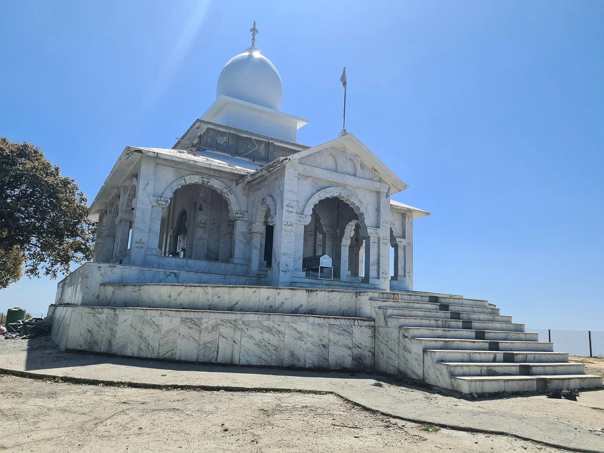
- Dhanaulti Eco Park
- Jharipani Falls
- Shikhar Fall
- Robber’s Cave (Guchhupani)
- Mussoorie Mall Road
- Landour
- Barlowgunj Bakery & Colonial Ruins
- George Everest Peak
- Kempty Falls
- Lal Tibba
- Benog Tibba


Leave a Comment