Overview
Crossing big glaciers and camping beneath the Himalayas is how Nandanvan Vasuki Tal trek is. Located in Gangotri National Park of Uttarakhand. This trek is one of the best and most adventurous treks one can enjoy in the Garhwal Himalayas. Nandanvan Vasuki Tal will take you through Gangotri, Tapovan, Gangotri Glacier, Chaurangi Glacier, Nandanvan, and Vasuki Tal.
Situated at an elevation of 16,200 ft, Vasuki Tal is at the base of Vasuki Parvat which stands at an elevation of 6,792 meters. This trek is considered challenging due to the Glacier walk, low temperature, and high altitude. The overall trek distance from Gangotri to Vasuki Tal and back is around 65 km. Good fitness, a strong mind, endurance, and previous high-altitude trek experience are required for the Nandanvan Vasuki Tal trek.
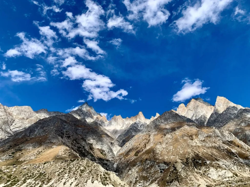
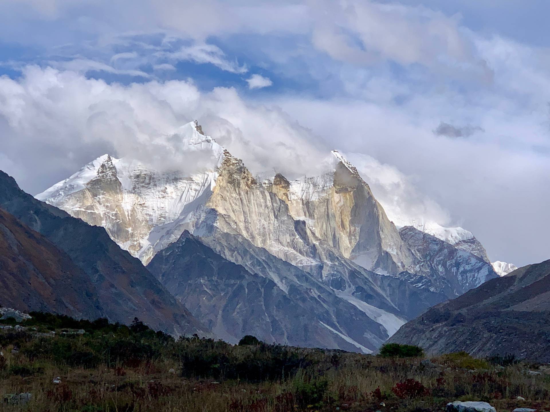
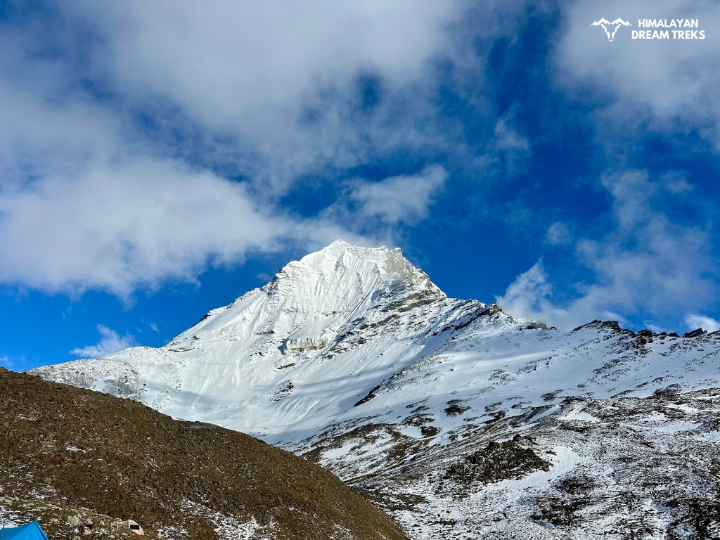
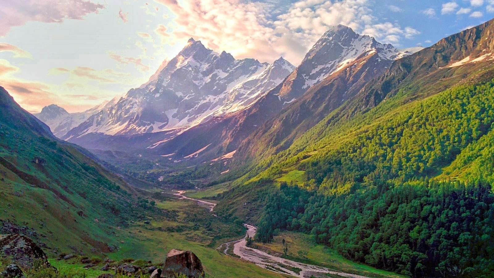
During the trek, you will be graced with grand views of peaks like Sudarshan, Meru, Bhagirathi, Shivling, Kedar Dome, and Vasuki Parvat.
Other than this we will walk on Gangotri Glacier and Chaturangi Glacier.
The interesting fact about this trek is it connects further to Kalindi Pass and opens up in Ghastoli.
Ready for the adventure of a lifetime? Join us for Nandanvan Vasuki Tal trek.
Itinerary
Day 1: Reach Gangotri from Dehradun
Drive Distance: 245 km
Drive Time: 9-10 hrs
Altitude: 10,300 ft
The journey to Nandanvan Vasuki Tal starts from Dehradun, where you can reach the spot via flight, bus, or train. From Dehradun, you will begin your journey to Gangotri, passing through the major landmarks such as Landour, Moriana Top, Uttarkashi, and Harsil.
In Uttarkashi, take time to purchase any necessary items. Remember, this is the last town where you will have multiple ATM services, so it is recommended to withdraw the essential cash from here.
Past Uttarkashi, we will cross Khedi Waterfall at Maneri, Jhala, Harsil, Dharali, and Bhaironghati.
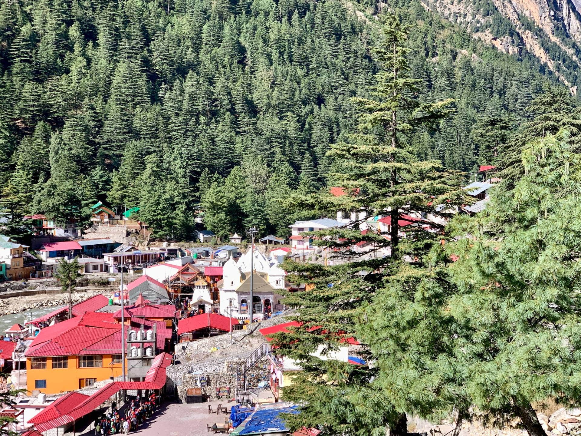
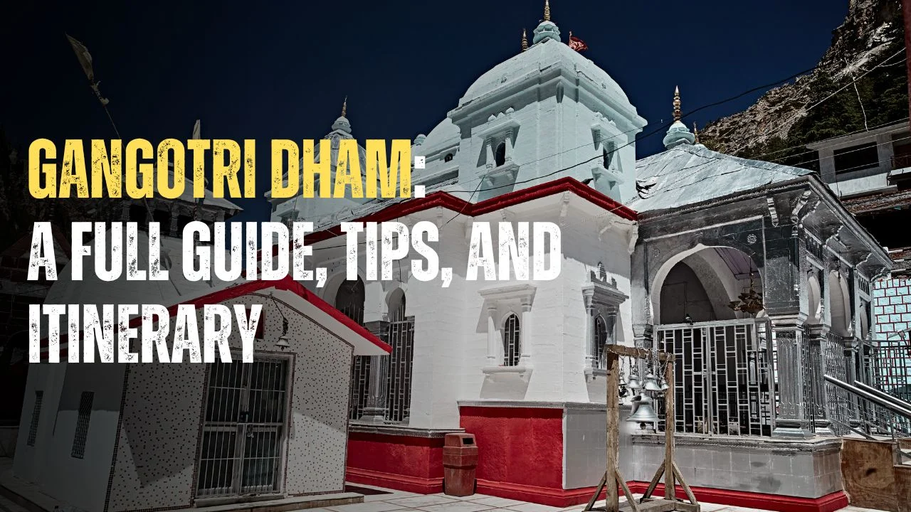
Gangotri is a town where you can dive deep into the spiritual values. There is a Ganga Maiya Temple, where you can get insights into local Hindu religion and its significance.
Apart from that, Gangotri features numerous shops, restaurants, and hotels. So your stay here will be worthwhile for sure.
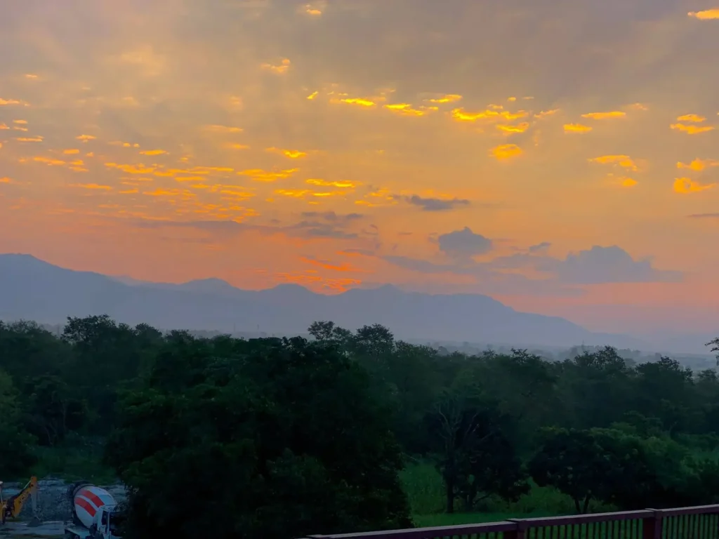
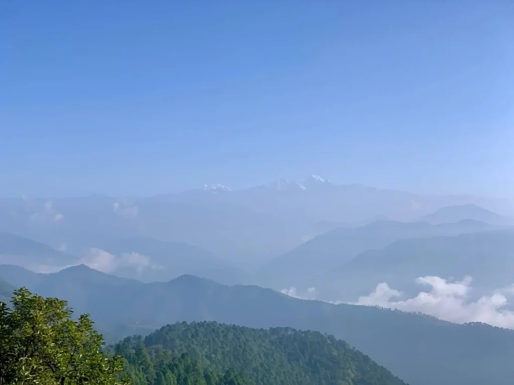

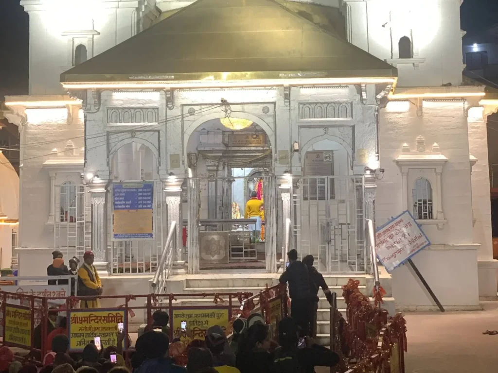
By the time you reach Gangotri, you will already be 3,415 meters above sea level. At such high altitudes, it is challenging to adapt due to low oxygen in the air and air pressure. As a result, trekkers might suffer from altitude related illnesses like AMS (Acute Mountain Sickness).
To avoid the dangers of altitude sickness, we will acclimate at Gangotri on the second day. We will start our day with a morning visit to Ganga Maiya Temple and explore the ancient cultural significance reflected in the architecture and sculpture.
Also, we will visit the nearby places, such as Surya Kunda, Pandava Gufa, and Ganga Ghats.
Most importantly, we will take rest to retain energy for the remaining trek. It is very important to have enough sleep, take proper diet, and hydrate yourself for proper acclimatization.



Trek Distance: 15 km, 6-7 hours
Altitude Gain: 2,650 ft
Altitude: 12,480 ft
Today, we will begin our journey early in the morning after a warm breakfast. After a few kilometers, we will reach the forest checkpoint and Ram Mandir. Take a few minutes to rest as your trek leader generates the final trek permit for all the trekkers. Take a group photo here and leave for your journey ahead.
From Check Point, we must walk another 7 kilometers to reach Chirbasa. The remote trail stretches through the conifer forest, which offers opportunity to encounter the flora and fauna in the region.
Before reaching Chirbasa we will come across a rock with spinkling water. The water from this sprinkler is full of minerals and really pure. Fill your water bottle here.
A lot trekkers ask us why we don’t camp at Chirbasa. The reason for this is the Chirbasa campsite is small and cramped, and you won’t get a proper camping experience here. Chirbasa also doesn’t have views as Bhojpbasa campsite. That’s why we give our trekkers a much needed acclimatization day and take them directly to Bhojbasa so that they can enjoy the view of Bhagirathi and the whole valley.
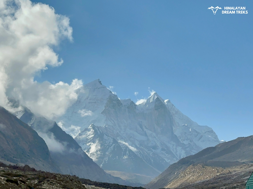
Once you cross Chirbasa, the valley opens up, and Bhagirathi peaks comes into view. On the trail, you will walk with pilgrims, fellow trekkers, porters, and Mules.
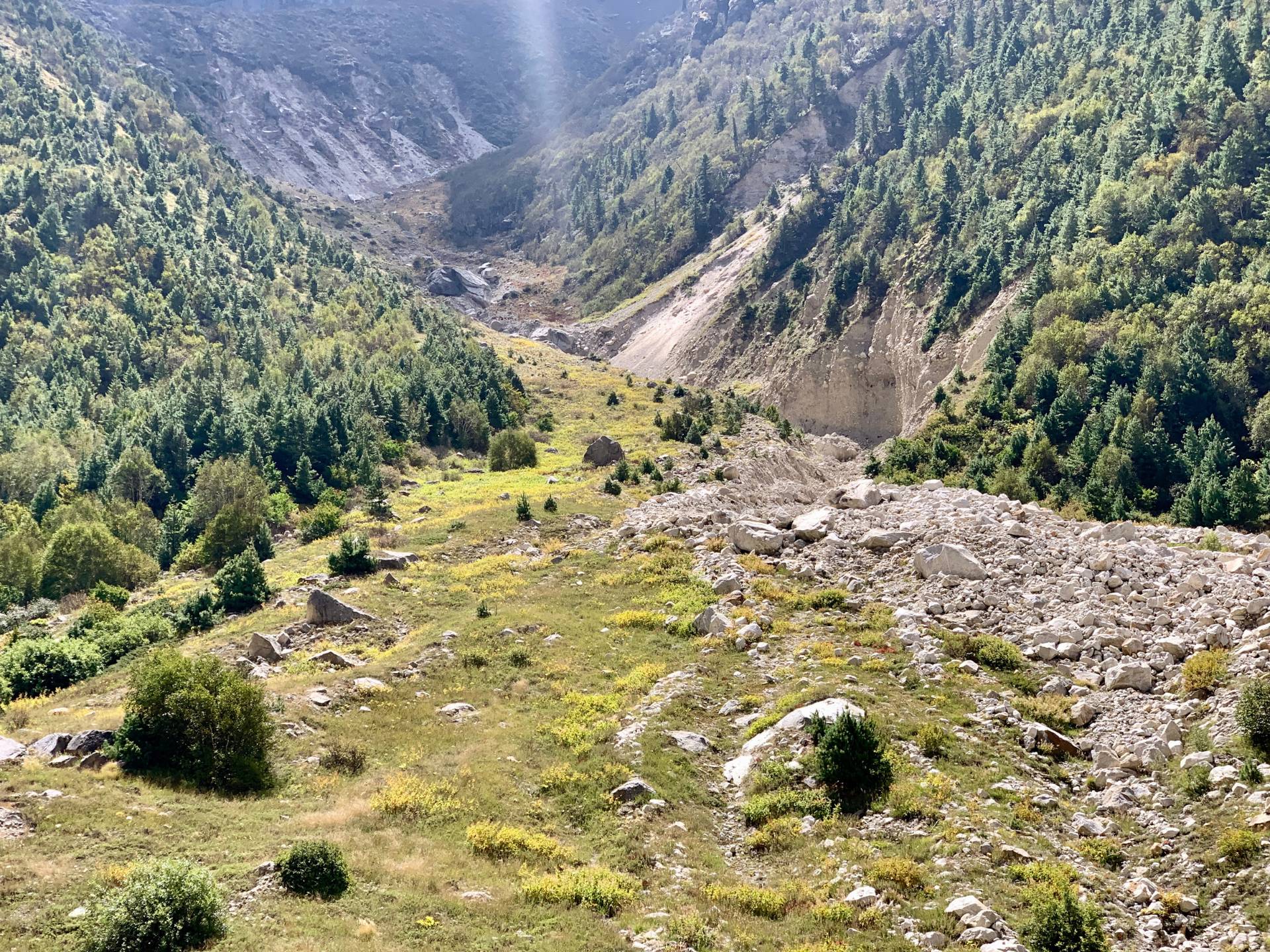
We will continue our hike towards Bhojbasa and cross multiple wooden bridges. Also, there comes a landslide area, where your balanced steps are a must. By evening, we will finally reach Bhojbasa, named after Bhojpatra. In ancient times, the leaves of Bhojpatra were used to write documents, state order, and religious texts.


Total Trek distance & Time: 8 km, 7-8 hrs
Altitude Gain: 1,876 ft
Altitude: 14,150 ft
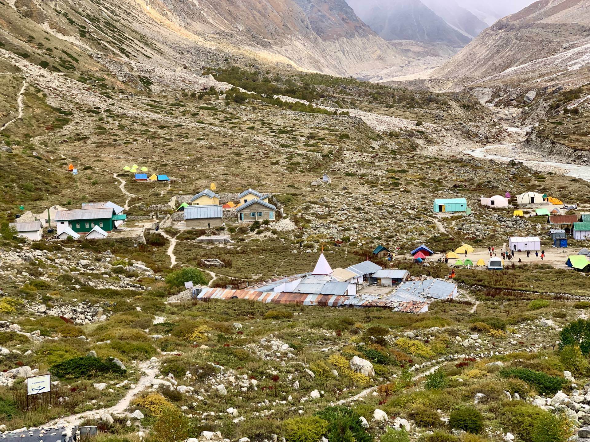
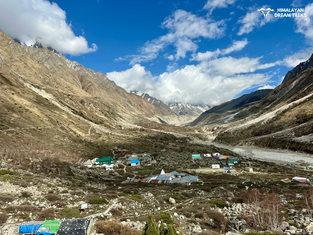
On the fourth day of this trek, we will head towards Tapovan from Bhojbasa, which is around 8 kilometers away. We must cross Bhagirathi River via Trolley before reaching today’s destination. It can take 1-2 hours for the entire batch to cross the river along with the team.
After that, we will pass through the pastureland rich in green shrubs and grass, where we can see Blue Sheep herds grazing. Gradually, we will find the landscape transforming into barren and rocky terrain.
Have lunch in between so that you can have the proper energy to climb Tapovan. You may not find water sources, so carrying 2 liters of water with you is advisable.
Along the trail, you will also see Akash Ganga flowing downwards from Tapovan and merging with Bhagirathi at Gaumukh below. During May and June, Akash Ganga has more water as compared to Autumn season. In some sections, you may even need to cross the stream. In that case, walk with attention and safety, and remove your shoes if needed.
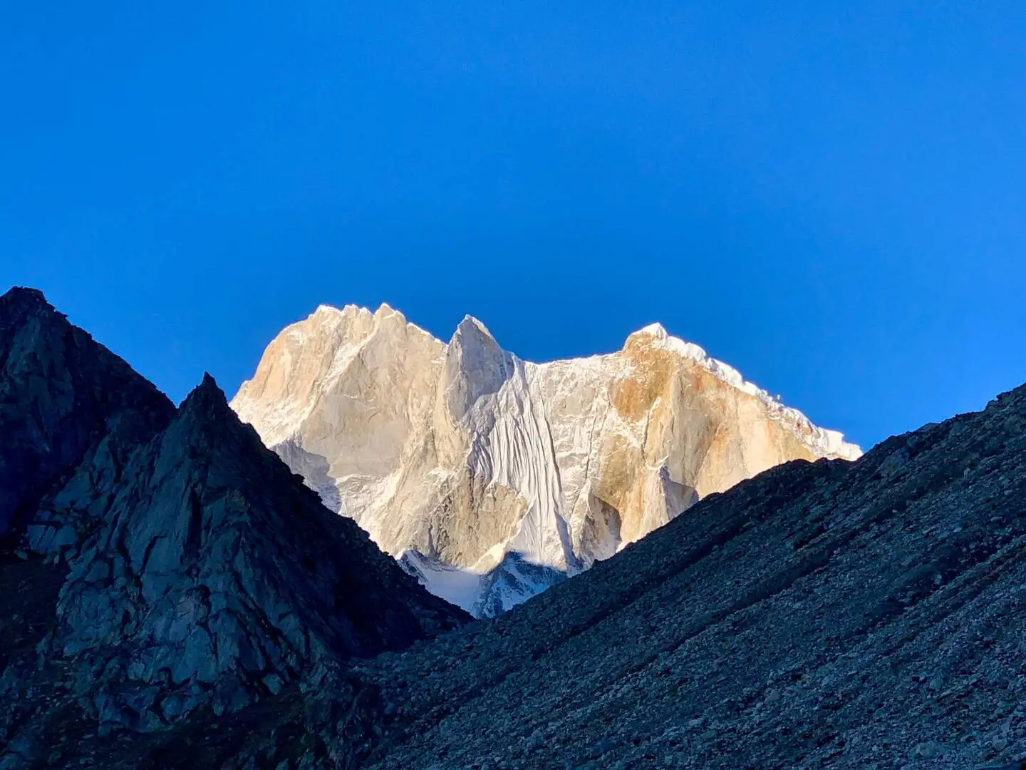
The landscape is steep and challenging, so a gradual ascent is recommended. The trail leads us to Tapovan finally, which is a perfect place to view Gangotri Glacier, Bhagirathi Peaks, and Aakash Ganga. Similarly, the views of Mount Shivling and Meru Peak will welcome you with wide arms.
Visit Moni baba ashram if interested. From Moni baba Ashram walk ahead and from here, you will get to see the whole Gangotri Glacier, Chaturangi Glacier, Nandanvan, and Kedardome.
You will surprised to know that Tapovan is also famous for Astrophotography and Stargazing. At night enjoy the clear view of the whole Milky Way galaxy. Just make sure to wear gloves, and winter clothes to avoid chills.


Day 5 will be a rest day at Tapovan. Proper rest will help us in our further journey to Nandanvan and Vasuki Tal. Take an acclimatisation walk nearby and enjoy your day at Tapovan.


Today morning we will move forward to Nandanvan. First, we will descend from Tapovan. The descent is full of loose gravel and boulders. Follow your trek leaders’ guidelines and descend with balance and care.
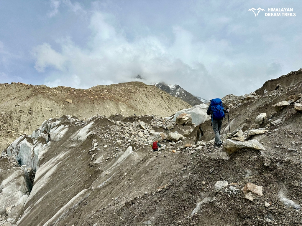
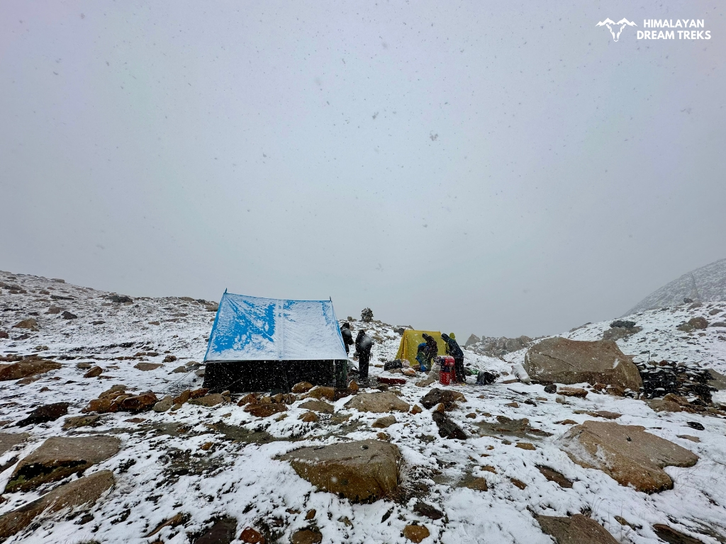
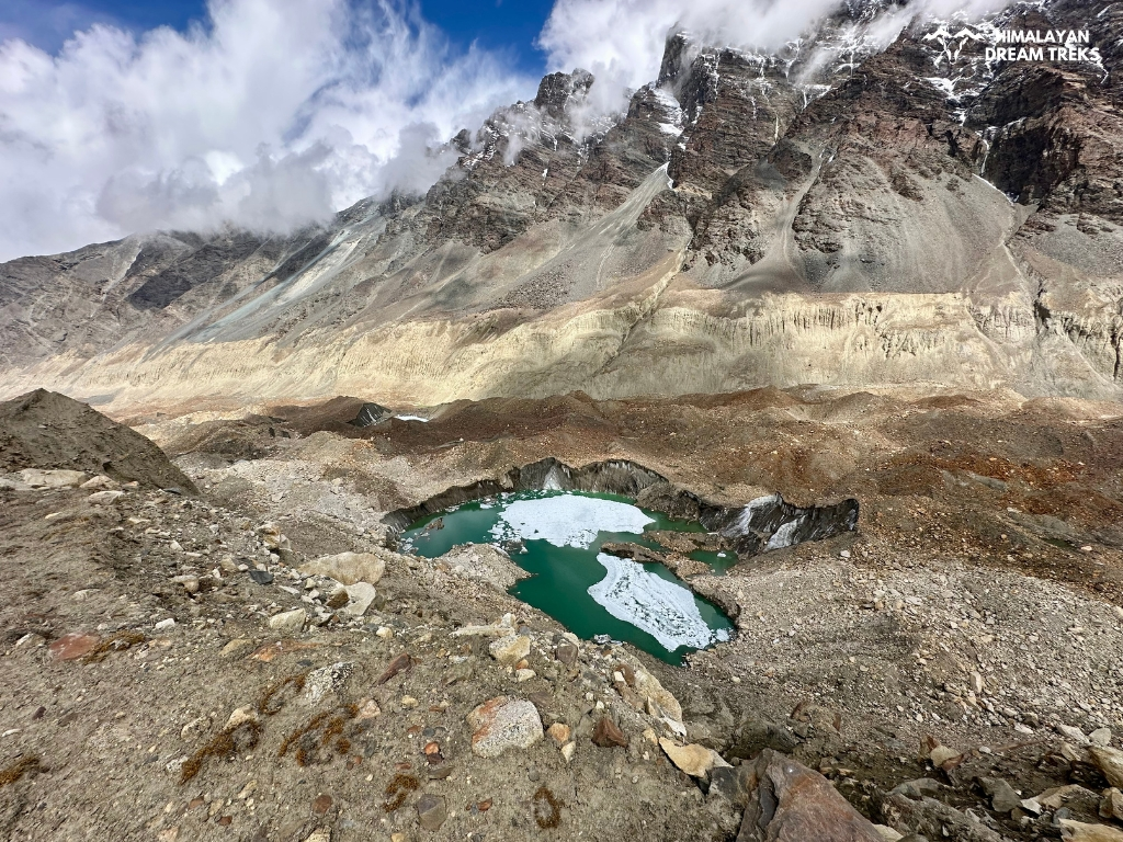
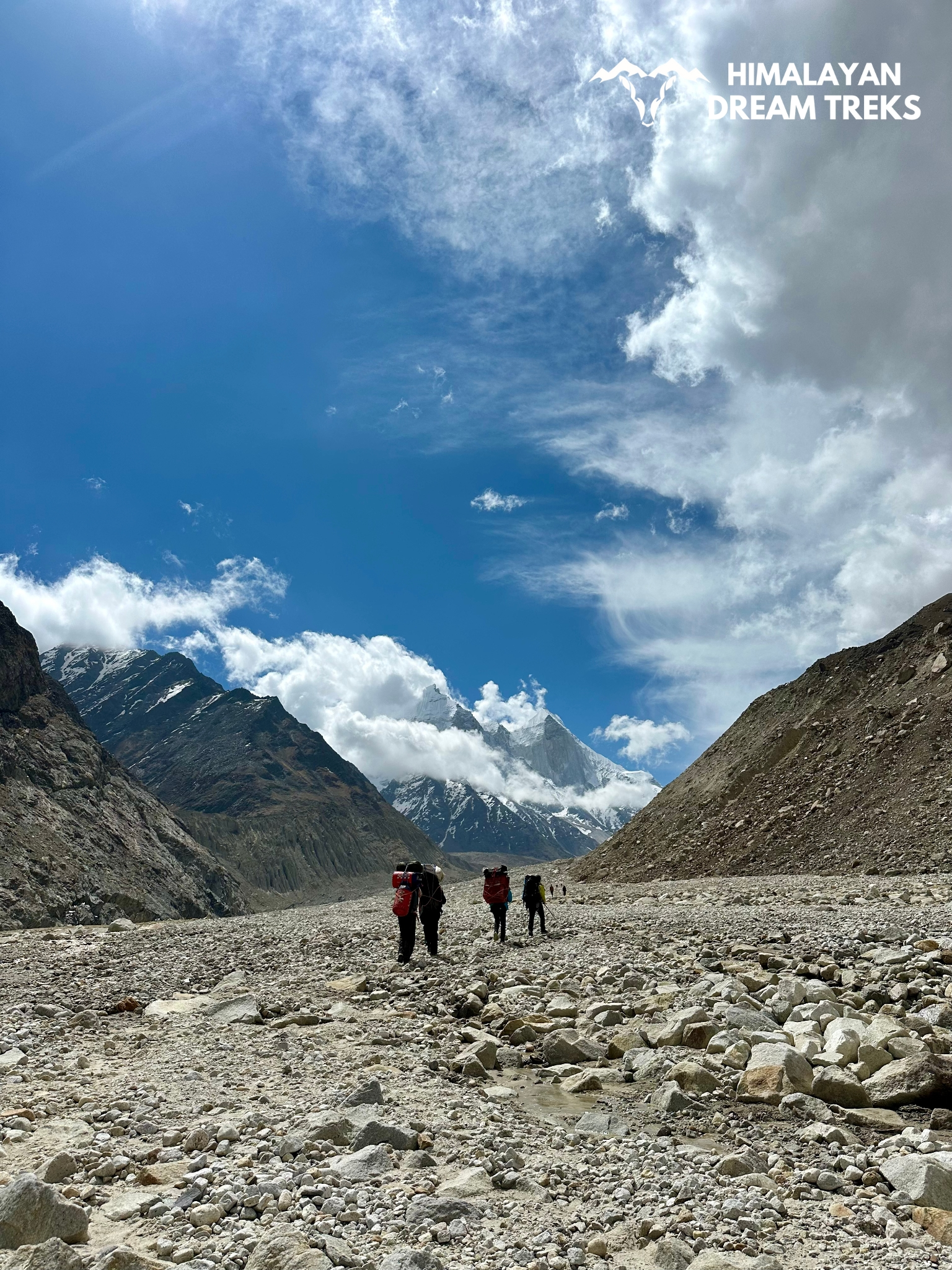
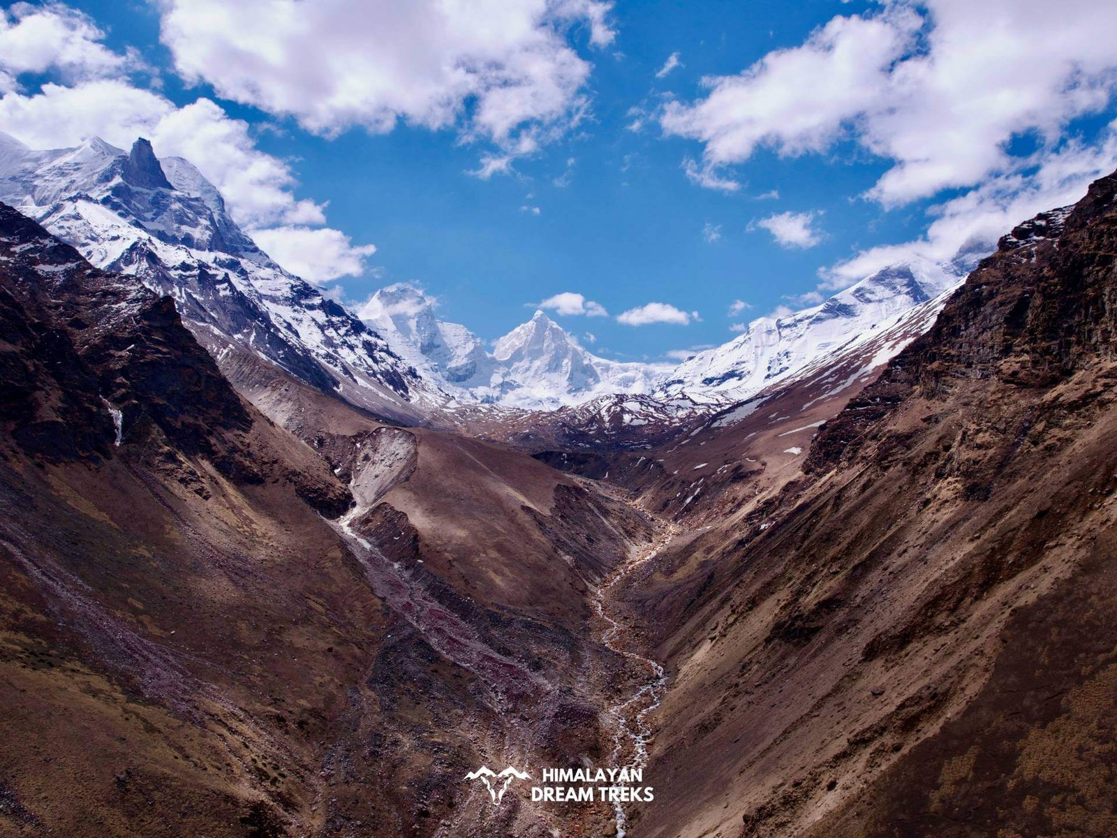
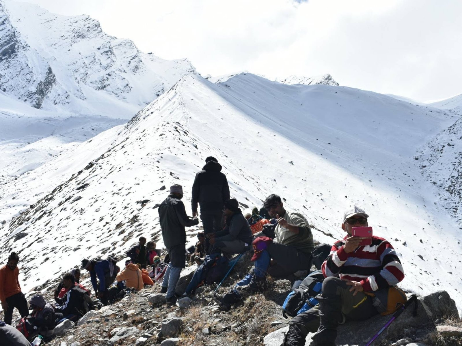
After descending we will be right above the Gangotri Glacier. Crossing the glacier is adventurous and dangerous at the same time. You will cross boulders, crevasses, mud, and moraines. The width of the glacier is around 2-3 km so it will take a few hours to cross. You will hear melting river gushing beneath the glacier. From the middle of the glacier, you will get to see the whole valley on the left side and Bhagirathi, Kedar Dome, and Kharchakund on the right.
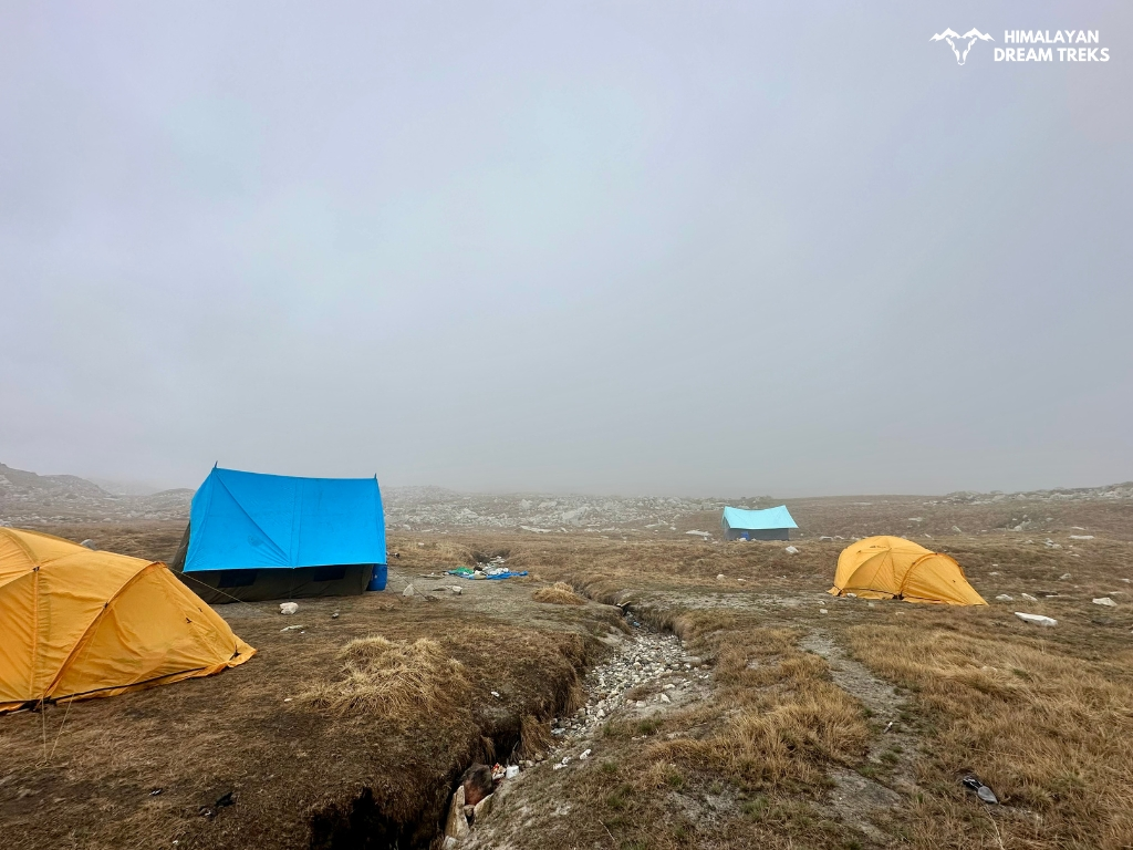
After crossing Gangotri glacier we will make ascend for Nandanvan. Nandanvan is located at the base of Bhagirathi peaks and is a basecamp for expeditions. Nandanvan is the same as Tapovan in terms of topography means it’s a high-altitude meadow. The ascend of Nandanvan is difficult with boulders, and loose gravel all over. Walk with balance and follow the trek leader’s guidelines.
Today’s night stay will be at Nandanvan.


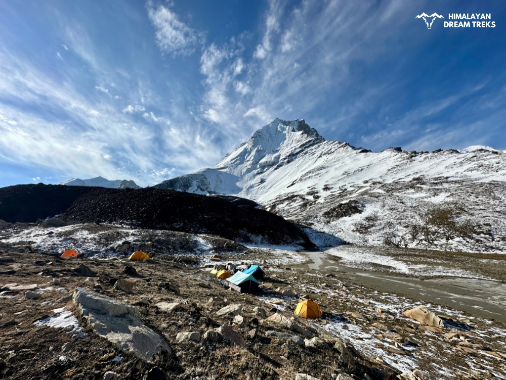
Today we will go towards Vasuki Tal from Nandanvan. Vasuki Tal is around 7 km from Nandanvan Campsite and takes around 6-7 hours that’s why we will star early in the morning. We will climb up the ridge and move towards Vasuki. On the right side, there is upper Nandanvan, and on the right Chaturangi Glacier. We will continue walking on this route for a few hours. Soon we get sight of Vasuki Glacier.
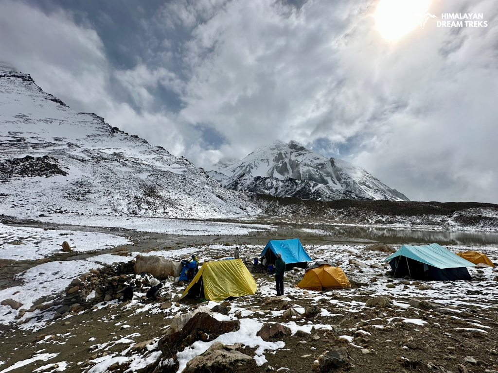
We will make the descent to Vasuki Tal. Vasuki Tal is a Glacial Lake and its source is Vasuki Glacier. The name is derived from Vasuki Naag who is a serpent god. Vasuki Parvat, Vasuki Tal and Vasuki Glacier all are named after Vasuki Naag. Vasuki Naag is the guardian deity of many communities in Uttarkashi. Vasuki Tal campsite is an expedition campsite for both Vasuki Parvat and Satopanth Parvat.
After spending an hour at Vasuki Tal we will move back to Nandanvan.
Wake up early in the morning and enjoy the view. In front, you will see Shivling and Meru on the right side. Turn your left and you will see part of Kirti Glacier and Kedar Dome. Just next to Kedar Dome is Karchakund Peak. From here you will get to see the whole Gangotri Glacier.
We will start walking in the direction of Gaumukh. After a few kilometers of walking we will cross Raktavan Nala which originates from Raktavan Glacier and merges with Gangotri Glacier. After an hour we will reach Gaumukh, the snout of Gangotri Glacier. Take pictures and have a holy bath if you want.
Then we will move towards Bhojbasa. Now we are back on the trail and after days we will get to see vegetation and wildlife.
Night stay in Bhojbasa in Camps. Enjoy the evening looking over the Bhagirathi peaks.
Return to Gangotri, the base camp of Gaumukh Tapovan. We will follow the same trail on a 6 to 7 hours long trek. The trail stretches through several wooden bridges and forest areas which will be exciting to pass by.
By noon we will reach Gangotri and check in to our hotel. Today, we will have enough rest and wrap up the Gaumukh Tapovan Trek. During the evening you have the option to attend the aarti ceremony and do some shopping.
After breakfast we will start our road journey to Dehradun. We will drive through the scenic road passing through Landour, Moriana Top, Uttarkashi, and Harsil.
We will reach Dehradun by evening.
Note | Return Journey: Plan your return journey after 9 PM. Sometimes due to traffic, we can get late, that’s why it’s advisable to have your return tickets booked after 9 PM.
Trek Package
Price Inclusion
Stay: Accomodation for all days of trekking
Meals: Meals from Day 1 dinner to Day 10 breakfast
Trek Equipment: All essential trek equipment is included, such as sleeping bags, kitchen and dining tents, utensils, mattresses, personal tents, toilet tents, and crampons (if needed).
Forest Entry and Permits: All required fuel charges, tolls, forest entry fees, and permits are covered.
Trek Staff: A qualified, professional team, including a mountaineering-certified trek leader, guide, cook, and support staff, will accompany you.
Emergency Kit: First aid medical kits, oxygen cylinders, and stretchers are provided for safety.
Trek completion certificate: Trek completion certificates will be given at the end of the trek.
Price Exclusion
Travel Insurance (not mandatory but highly recommended)
Meals during the transfer
5% GST is not included
Any expenses or items not mentioned in the inclusion section are not covered
For backpack offloading additional fee of will be charged
Any expenses arising from emergencies during the trek
Transportation from Dehradun to the base camp and back to Dehradun
Check the booking procedure here, including details on booking deposits, payment terms, refund and the cancellation policy.
Best Time for Nandanvan Vasuki Tal
Preparing for the Nandanvan Vasuki Tal must be done properly, and choosing the best time to go for this trek falls under it. Considering this topic, the best time depends on what trekkers expect from this journey. Some might like to travel during the winter while some in other seasons. But there are several parameters that indicate the ideal time for taking on this journey.
Summer season, starting from May, is the season when the weather is most stable. With temperatures being moderate during this timeframe, most trekkers prefer trekking during this time. The clear skies, mild temperature, minimal rainfall, and clear vision are some of the advantages of the summer season.
Temperature during this time ranges from 17 degrees Celsius to -10 degrees Celsius.
In June mid week or end week you may also get to see new born Lambs of Bharal or Blue sheep.
This is also the time when gates of Ganga Temple opens up. You will get to see lot of pilgrims in this season and trail will have more people as compared to Autumn season.
Autumn starts from the month of September and remains till October. The weather and climate patterns are somehow similar to the Spring season. Moderate temperature, clear skies and views are the major features of this timeframe.
Autumn starts after the end of the monsoon, so you can still enjoy the views of the greenery around the Tapovan region. Average temperature during this time ranges from 15 degrees Celsius to -10 degrees Celsius. Sky remains clear and sunny offering perfect views of Bhagirathi Massif, Shivling, Meru, and Kedar Dome.
Difficulty Level of Nandanvan Vasuki Tal Trek
The difficulty level of the Nandanvan Vasuki Tal Trek is moderate to difficult. It can be completed in 10-11 days. You will travel approximately 65 km as you reach the maximum altitude of 16,200 ft above sea level. Glacier walk, high altitude, and cold temperature make this trek difficult.
You must be very careful in packing your trekking gears, physical and mental health, and acclimatization. You will go through the remote trail that features a rockfall section, steep ascend, and changes of altitude sickness. That’s why it’s important to come prepared.
The trail from Gangotri to Bhojbasa is around 14 km with gradual ascend and altitude gain of 2,650 ft.
The next difficult section is the ascend of Tapovan and Nandanvan. Boulder, rocks, gravel, and steepness make it a bit challenging. Be careful here and avoid moving any rocks with your footsteps.
The glacier walk from Tapovan to Nandanvan and Nandanvan to Gaumukh is tough due to the moraine, boulders, and crevasse. High altitude poses a risk of AMS at campsites like Tapovan, Nandanvan, and Vasuki Tal.
The most important thing is that you walk for 6 to 7 hours for 7 days, which will be physically exhausting. So, to complete this trek you need endurance, previous experience, and physical strength which you can train your body before starting this trek.
Trek Essentials [What to Pack]
- 45-60 Ltr Bag Pack With Rain Cover & Comfortable Straps
- Hot and Cold Water Bottle Like Borosil and Milton
- Energy Bar, Dry Fruits, and ORS
- Personal Medical Kit
- 1 Pair of Sunglasses (UV Protected)
- 1 Neck Gaiters (Buff)
- Tiffin Box
- 2/3 Full Sleeves (Non-Cotton)
- 1 Full Fleece T-Shirt
- 1 Fleece Jacket (Woolen or Sweater)
- 1 Down Feather/ Hollofil Jacket
- 1 Waterproof Jacket/ Poncho
- 1 Pair of Thermal Inners (Upper and Lower)
- 2 Trek Pants (Avoid Shorts and Denim Pants)
- 1 Pair of Waterproof Gloves
- 1 Pair of Woolen Gloves
- Sun Cap
- Woolen Cap
- 4 Pairs of Cotton Socks
- 1 Pair of Woollen Socks
- 1 Waterproof and High Ankle Trekking Shoes
- 1 Pair of Floaters
- Hand Sanitizer and Sunscreen Lotion
- Toothbrush and Toothpaste
- Toilet Paper
- Quick Dry Towel
- Lip Balm and Antibacterial Powder
- Moisturizer
- Aadhaar Card, Pan, or Passport for Applying Permit
- Trek Insurance
- Medical Certificate
- Self-Declaration Form
- Sleeping Bag
- Common Tent
- Mattress
- Dining Tent
- Camping Stool
- Walkie Talkie (For Team)
- Utensils
How To Reach Gangotri
If you choose to reach Dehradun by flight, it is the easiest and quickest medium. However, the air flight does not take you directly to Dehradun, but to Jolly Grant Airport, the nearest airport from the city. It is located approximately 25 kilometers from the city center, where several domestic airlines operate regular flights to and from Dehradun. Upon landing at the airport, you can hire a taxi, vikram, or take bus to Dehradun.
It is recommended to book your tickets a month or two before your departure date. Last minute flight booking is usually higher than regular price.
If direct flights to Dehradun seem to be pricey, then it will be wise to take flights to Delhi as they are more affordable. From Delhi, you can reach Dehradun via state bus like UTC, or HRTC or use apps like Abhibus or Redbus. Railways and shared taxis are also good options.
Traveling by train is another great option to reach Dehradun. You can reach there within a short period as it is well-connected to major cities by train. The Dehradun Railway Station serves as the primary railway station while you can also always choose Haridwar Railway Station. You can book tickets on various trains connecting Dehradun to places like Delhi, Mumbai, Kolkata, and more.
You can also travel via road to Dehradun from your hometown. Dehradun is connected by National Highways from/to the major cities like Delhi, Kolkata, and Chadigarh. So it will not be a problem in getting a transportation to Dehradun; however, it might not be as quick as air flight.
Nevertheless, you can still enjoy the beautiful views of the Himalayan foothills during your ride.
Gangotri, the starting point for Gaumukh Tapovan, is approximately 237.1 kilometers from Dehradun. To reach there, you can hire a private taxi or take a bus from Dehradun, which takes around 7 hours.
Buses to Uttarkashi leave early in the morning from Dehradun Hill Station and Prade Ground. The bus ticket usually costs 350 – 400 rs. And shared taxi charges from 400-500 which can be booked in Rispana pul and Prade ground. To reach Uttarkashi by 12 PM, you must board the bus early in the morning around 5 am. Taxis from Uttarkashi bus stand to Gangotri leave till 2 Pm during the summer season and 12 pm in the autumn season.
Once you reach Uttarkashi, you can get a shared taxi to Gangotri, which charges 300- 400 RS and can be found at the Uttarkashi taxi stand.
We also arrange transportation services for our trekkers, with the pick up point being Prince Chowk, Dehradun and pick up time between 6 am and 7 am. An add on of INR 2500 will be charged from trekkers.
Note | Transportation Service: We also arrange transportation services for our trekkers, with the pickup point being Prince Chowk, Dehradun and pick-up time between 6 am and 7 am. An add on of INR 2,500 will be charged from trekkers.
Map of Trail
More Info about Trek
Gangotri Temple & Mukhba village
Gangotri Temple is dedicated to the Hindu Goddess, Ganga. People believe that Goddess Ganga descended from heaven after Bhagirathi Ji earned the blessings from Lord Shiva from his intense meditation.
The Goddess Ganga temple witnesses a grand procession that starts from Mukhba village. Mukhba is located above Harshil.
The temple itself has a deep-rooted historical connection, as it was renovated by Amar Singh Thapa, an army general during the Gorkha rule.
Bhagirath Rock (Shila)
One of the most notable landmarks is Bhagirath Shila, which lies at the footstep of the Gangotri Temple. People believe that it is the same place where King Bhagirath earned blessings from Lord Shiva from his deep meditation after which he sent Goddess Ganga from heaven.
To this time, Bhagirath Shila stands as a symbol of his devotion and connection between humans and the holy Ganga River.
Pandav Gufa:
Pandav Gufa (Cave) is another popular landmark in this region. It is situated a few kilometers away from Surya Kunda, along the left bank of the Bhagirathi River. It is also known as Patangana or Pandava Gufa as Hindu myths suggest that it is the same place where Pandavas arrived during their ‘Banabaas’ journey.
Also, it is believed that the place is where Pandavas performed a Dev Yagya, seeking redemption for the sin of cow-killing. Their journey continued from here, leading them to the sacred destination of Kedarnath, tracing the banks of the Rudraganga.
Gaumukh Tapovan is located inside naturally enriched place, Gangotri National Park. It lies in Uttarkashi District and covers about 2,390 km2 (920 sq mi) in distance. The national park is home to several wildlife and plant species. From endangered species to the most common ones, this place shelters a wide range of flora and fauna.
Talking about green vegetation, you can find Himalayan birch trees, deodar, blue pine, and juniper inside the National Park.
The national park is also home to Bharals (Himalayan blue sheep), Himalayan bears, and Himalayan Griffon. Similarly, white leopards, also known as snow leopards, can be rarely encountered in this part. It is one of the most rare animal species in the world with only between 4,000 and 6,500 existing in the world currently.
While on this adventure, you can explore other beautiful destinations such as Harshil Valley, Nelang Valley, Uttarkashi, Gangotri Base Camp, Kedartal, and Suryakund.
SCI, Foreign Permit & Vehicle
HDT is registered with the IMF, and we can cater to the needs of SCL for Government Employees. According to the rule, the government of India provides its employees with a prospect where they’re allowed to apply for a 30-day special casual leave in a calendar year to do trekking, hiking, or whatever adventure pleases them.
Mail us at info@himalayandreamtreks.in or call us at +91 80896 93825, if you want to avail SCL.
For foreign nationals, permit charges are different, and hence the overall package price is different for foreign trekkers. Connect with us before booking your trek.
- For 4-6 people Ertiga/Bolero or equivalent vehicle.
- For 7 or more people, Force Traveller.
FAQs
During the trek, trekkers will cover a distance of 65 kilometers.
The best time to do the Nandanvan Vasuki Tal trek is Summer (May to June) and Autumn (September to November). During these months, the weather and climate patterns are stable with less chance of rain and snowfall.
Yes, you need a special entry permit for this trek as it lies within the protected area of Gangotri National Park. The permit office above the bus stand at Gangotri, or from the District magistrate’s office in Uttarkashi offers this license.
Yes, every campsite is equipped with dry pit toilets. But you must carry your own toilet paper for your convenience.
Uttarkashi has ATMs where you can withdraw cash. However, cash availability can be limited, so it’s wise to make last-minute cash withdrawals in Dehradun before starting the trek.
Charging your gadgets is always challenging during the trek. During Nandanvan Vasuki Tal, the last charging point you will get is at Gangotri. So it is recommended to carry spare batteries for cameras and a power bank with a capacity of more than 20,000 mAh to ensure you have enough power for the entire trek.
Yes, Nandanvan Vasuki Tal Trek takes you to an altitude of 16,200 feet above sea level. So altitude sickness is always a concern. It’s essential to ascend gradually, stay hydrated, and recognize the symptoms of altitude sickness, such as headache, nausea, and dizziness.
Pure vegetarian food will be served with dishes like Rice, Dal, Roti, Vegetables, Parantha etc. If you are a Jain or have any special food requests then do let us know. Note: Only vegetarian food will be served.
In Gangotri, network is available via networks like Jio, Airtel and BSNL. After Gangotri no network is available. Our team member will be using Walkie Talkies for communication.
For foreign nationals, INR 5,000 will be charged extra. The reason for this is National Park charges more for foreign national permits.
As a foreign national you can make your payment via PayPal or Card.
Camera is allowed and you will have to pay a fee of INR 500 per day. Drones are not allowed in National Park.
Aadhaar card, Declaration form, and Travel Insurance. If you are a teen then a parent’s declaration will be needed. If you are 60+ then a medical certificate will be required. And if you are a foreign national then your Passport will be needed for issuing permits.
Click on book now, enter the details like full name, city etc, and pay the amount. In between if you face any problem, reach out to us at +91 80896 93825.


Leave a Comment