Pir Panjal Trek: Exploring Some of the Best Lakes and Meadows in the Lesser Himalayan Range of Jammu & Kashmir
Looking for an offbeat and adventurous trekking destination in Jammu and Kashmir? Let us introduce you to the Pir Panjal Trek or Pir Panjal Lakes Trek in the Poonch District, which will take you through exciting passes, open meadows, and sub-alpine lakes in the range of the Lesser Himalayas, as high as 13,730 ft above sea level. The trails of this trek will take you through dense coniferous forests, expansive meadows, thrilling mountain passes, alpine deserts, and meandering river streams. This transition in various landforms will transport you to Spiti-like Valleys, Uttarakhand-like Bugyals, and Sandakphu-like monsoon trek, all in one place.
You will cover around 52 km over the span of 7 days, where you will witness the beauty of 12-14 lakes and 4 meadows. It is a moderate to difficult-level trekking destination that requires you to climb large boulder fields and scree sections, ideal for experienced trekkers.
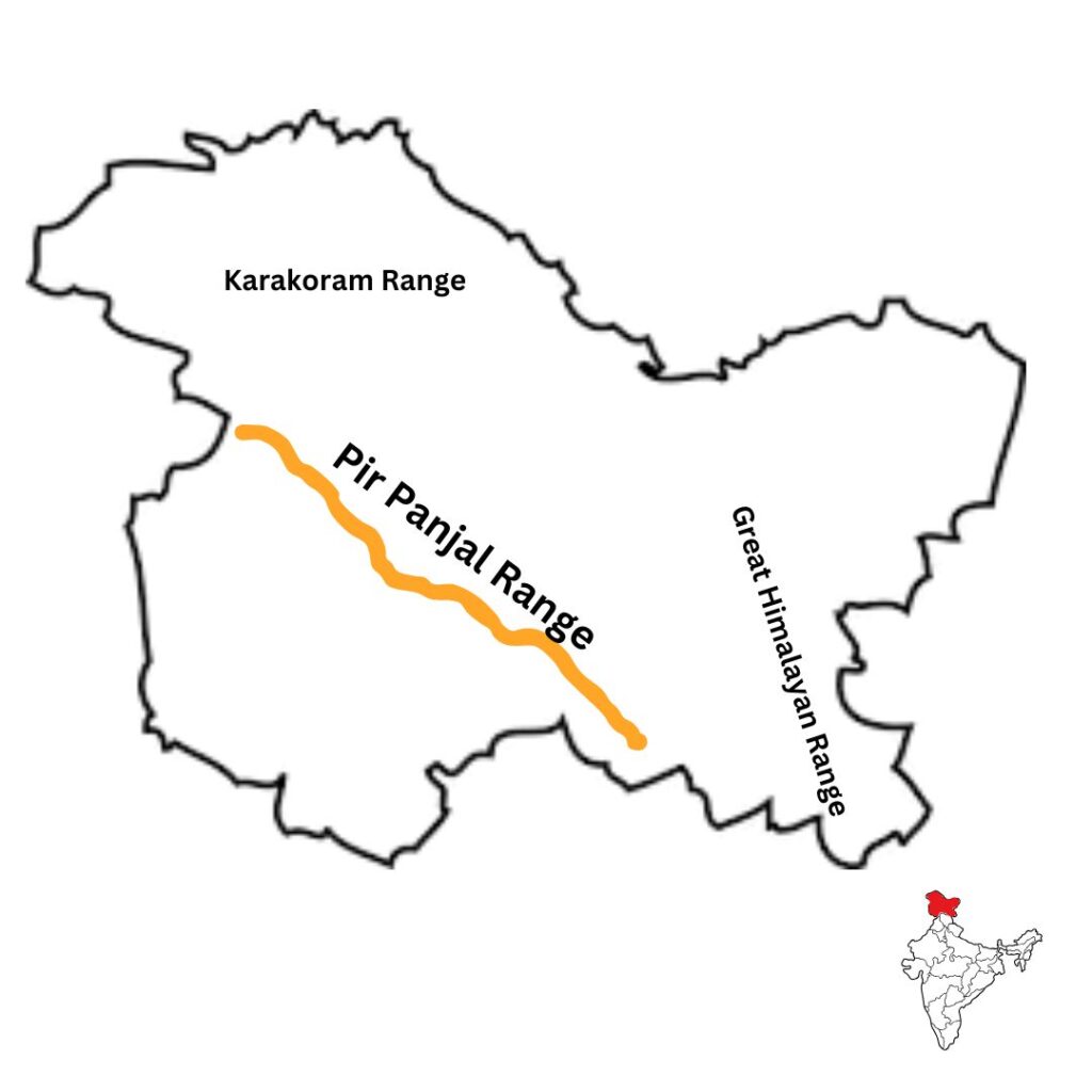
As the name suggests, these lakes are situated in the Pir Panjal Range, the largest range of the lesser Himalayas. The entire range extends from the Nilam River (Kishanganga) in the western PoK, passing from southwest of Jammu and Kashmir to the Beas River in Himachal Pradesh. Covering about 320 km in length, the Pir Panjal Range stands tall with an average height of 13,000 ft. It separates the southern parts of Jammu Hills from the Kasmir Valley. It is famous for its freshwater lakes, locally known as Sar and vast meadows or Margs.
Our trek will start from Pir Ki Gali or the Pir Panjal Pass on Mughal Road, which connects Kashmir Valley with the Poonch and Rajouri districts of Jammu. We will choose Chandimarh, a small village (approx 26 km from Poonch headquarters), as the base camp. From here, the lush forest section will mesmerise you with the contrast of crickets singing in the quiet of nature. Further, you will be left in awe of the large meadows of Panjdhari, Khuan, Byad, and Sarota that feature cosy Dhoks, lovely sunsets, and clear starry nights. The views of a continuous chain of freshwater lakes from west to east from the top of the Khabi Ki Gali Pass and Kaldachni Pass will leave you speechless. Overall, the Pir Panjal Lakes trek gives you a wholesome opportunity to satisfy your wanderlust by exploring the less-trodden tracks of the Pir Panjal Range.
As a tour operator, Himalayan Dream Treks (HDT) encourages trekkers to explore this fantastic mountain range. We are providing all the required amenities for a successful trekking & camping experience during the journey, including essential services like transportation, accommodation, food, water supply, camping & safety equipment, trail permit, trekking guide, hiking gear, a basic first aid kit, etc. Also here you will know the booking options we provide for a customized/private service package that is perfectly suitable for various age groups including families with young children, senior citizens, and corporate employees. So why not set on this journey and enjoy the most of the Kashmir Himalayas and valleys natural beauty?
Let us discuss everything you need to know about the Pir Panjal Lakes Trek. We have given a detailed itinerary, the best time to visit this trek, the difficulty level, trek route map, weather & temperature, flora & fauna, how to reach the base camp, and interesting facts about the Lakes and meadows of the Pir Panjal Range.
Pir Panjal Trek Itinerary
Day 1: Drive from Srinagar to Chandimarh
Drive Distance: 123.4 km
Drive Time: 4-5 hours
Altitude: 6,500 ft
The first day of your Pir Panjal Lakes Trek starts with a drive from Srinagar to Chandimarh, which is about 123.4 km and takes 4-5 hrs to reach. The route will take you through the Shopian district and features the historic Mughal Road. You will get to see the unparalleled beauty of Jammu and Kashmir Valley with sunrays hitting the mountains and trees at different angles. The route will pass through Pir Baba shrine.
After crossing Jammu, we will reach the army checkpoint where your IDs and permits will be checked. Here, you will drive through Lal Ghulam Bridge, 46.4 km from Chandimarh. This area is prone to landslides and the road becomes bumpy and rough after this point. You will get to see the majestic peaks of Pir Panjal Range and the Peer ki Gali (the highest motorable pass on Mughal Road).After an hour and a half drive, you will arrive at Chandimarh, a small village where we will stay in a tourist lodge. Here, you can explore the market of Kashmiri clothes and dry fruits. Enjoy the butter tea and Fulka in the evening while strolling on the banks of Chath Nala, a river stream in the village. Take proper rest at night to start your next day early, full of energy.
Trek Distance & Time: 8 km, 6-7 hours
Altitude: 9,300 ft
Altitude Gain: 2,800 ft
We will start our trek early in the morning after having a hearty meal at our stay. Today, we will cover around 8 km to reach our campsite Thera. Our first stop will be Noori Chamb, a cascading waterfall amidst dense forest. It is believed that Noor Jahan used to relax at this spot on her way from Kashmir to Lahore. You can also find her old mirror embedded in an adjacent rock face.
Hiking on the trail, you will cross an ancient Shiva Temple. From here, there is a gradual uphill climb on the muddy and rocky trails through the dense forest. The lush canopies of Oak and Pine with the added symphony of crickets and birds will mesmerise you.
After hiking for some 3 km, you will arrive at Cheii Village, the last habitation on the trail. Here, you will get the first glimpse of Shepherd Dhoks, small nomadic settlements made of stones and woods. We will take a short break here by having a light lunch and refilling our water supplies.
The trail becomes slightly steep as we move forward, leaving Cheii Village behind. After walking for about 2 km through the dense forest trails, you will reach a large alpine meadow. Known as Girjan Marg or Girjan Gali, this vast meadow gives heavenly views of the valley below. You will see dense vegetation of tall coniferous trees blanketed by thick clouds, a sight to behold. We will relax here at one of the Dhoks. You can also visit the shrine of Peer Baba.
We will continue our trek to Thera, our campsite that is located on a ridge at the top of the Girjan hillock. This section is very steep with about a 50° upward climb. Do not forget to enjoy the views on either side of the ridge, shepherd Dhoks to the left and Pir Panjal range to the right. Here, you can also spot several prominent peaks like Alfa Tōpa, Baba Pahar, Naushera Pahar, Tattakuti Peak, Ganta Par, and Sunset Peak.
At Thera, we will set up our camp and retire for the night. Do not miss the clear sky with star-studded night and the beauty of the sunset at the campsite.
Trek Distance: 9 km, 6-7 hours
Max. Altitude: 10,900 ft
Altitude Gain: 1,600 ft
On the third day of our trek, we will cover around 9 km to reach our second campsite at Khuan. We will start our day early, after having a healthy meal. The initial section of the trail requires you to cover the meadows of Chota Thera and Girjan Gali. Within a few minutes of crossing the meadows of Girjan Gali, you will enter the dense forest trails. The thick vegetation of Pine trees and colourful wildflowers will take your breath away.
After walking for about an hour, you will again find yourself in another meadow, Bada Thera. Here, you will see vast green pastures grazed by cattle and a few shepherd Dhoks. We will relax here and refill our water bottles. You can also enjoy the panoramic view of the Pir Panjal ranges with visible peaks–Kala Pahar, Ratta Manda, Alfa Topa, Baba Pahar, Tattakuti Peak, and Ganta Par.
We will now set out for the next section of our trek which involves an uphill climb to reach the top of Bada Thera. After reaching the top, we will enter into the forest trails, lined with towering trees and wildflowers. Walking through this section involves hiking on a ridge of the mountain slope. Filled with unreal beauty, this ridge section gives amazing views on both sides. You will see lush forest vegetation on one side and a deep valley on the other. The occasional clouds and smog engulfing the landscape, add to its mystical beauty.
Hiking on the ridge for an hour will take you to another alpine meadow, Paindhari or Panjdhari. There is an army camp where we will get our IDs and permits checked by the army personnel. Immerse in the scenic view of the surrounding valley before continuing your trek further.After continuing your ascent for around 2 km, you will arrive at Khuan Meadow, our campsite of the day. You will find several small shepherd dhoks here, where locals will welcome you with a warm Kahwa or a light meal.
Total Trek distance & Time: 5.5 km, 4 hrs
Max. Altitude: 12,200 ft
Altitude Gain: 1,300 ft
The fourth day of the trek is what you have been waiting for. We will get to see the largest and one of the most famous lakes of the Pir Panjal ranges–Neelsar. Our trek section will start with descending from the Khuan Meadow and continuing towards the left from the col. After continuing walking for about 20 minutes, you come across a small stream winding through loose boulders.
This trail section is slightly difficult due to vast boulder fields and tracks with loose rocks. You will need sturdy trekking gear like waterproof boots with quality soles and heavy socks to avoid any injury.
After carefully trekking on this difficult stretch for about an hour, you will encounter a 60° uphill climb. On your uphill climb, do not miss the lovely scenery of the Khuan Meadows, Panjdhari Valley, and Shepherd Dhoks below. As you finish this steep ascent, you will reach the enchanting alpine meadow of Byad.
At Byad Meadows, the green pastures and surrounding scenery will wash away all the tiredness of the uphill climb. This large grassland is so vast that it seems to touch the sky. Here, we will relax in the velvet soft grass and have our snacks.
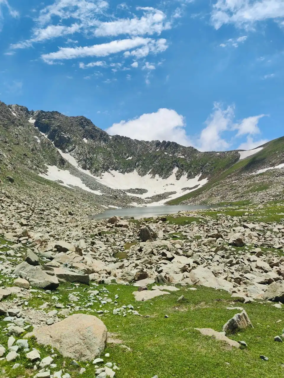
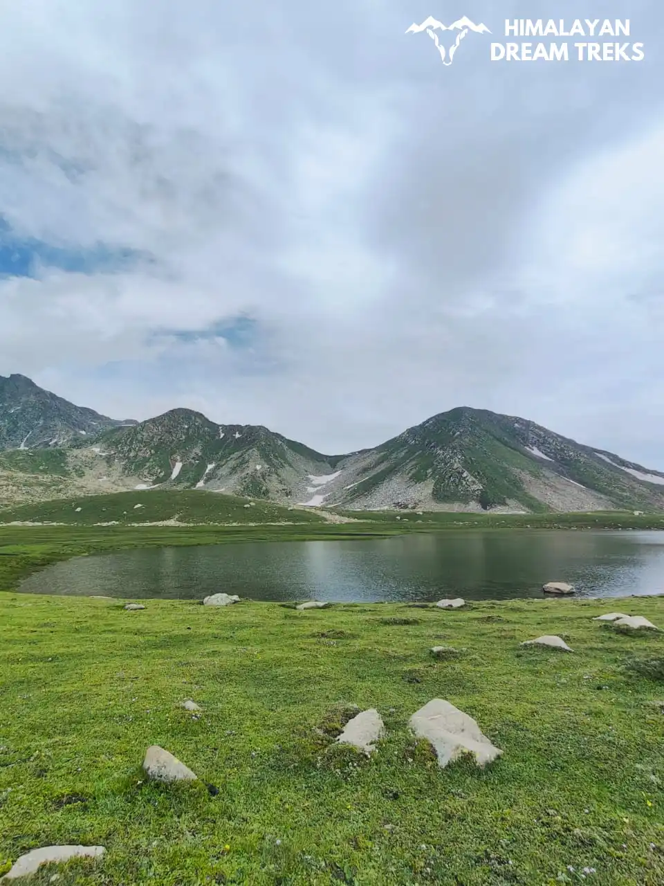
We will continue walking in the Byad Meadow until we reach the boulder fields. Climbing on top of the boulders for nearly an hour will take you to the majestic lake of Nandansar. Named after its crystal clear and fresh water, this lake will leave you enchanted with its natural beauty.
We will set up our camps near the lake. For the remaining day, we will explore the nearby lakes of Neelsar II, Neelsar III, and Dingsar. Return to the campsite to rest and recharge during the night.
Total Trek distance & Time: 7 km, 5-6 hrs
Altitude: 12,900 ft
Altitude Gain: 700 ft
Today, we will start our trek towards the Kaldachni Pass early in the morning. We will move towards the west to reach our campsite, Chandansar via Kaldachni Pass. Starting our journey towards the west, you will cross the rough trail sections with moraine.
After walking for half an hour, we will reach Sukhsar, a medium-sized lake. From here, we will continue towards the steep ascent of about 900 ft, loaded with loose gravel to reach the Kaldachni Pass. This section of the trail is very difficult and will test your cardio strength and endurance. Keep looking back to catch the scenic views have just left behind. The whole landscape seems unreal with Spiti-like valley standing as a backdrop.
Halfway through the Kaldachni Pass, you will get the views of Katoriasar (12,100 ft). A small lake that resembles ‘Katori’ or a bowl. From this viewpoint, you will spot 4 lakes ahead of you. We will take a short break here to relax and soak in the natural beauty.
We will start our climb again to reach the top of the pass after continuing the trek for an hour without a break. As you reach the top, you will get a full view of the seven lakes on both sides of the Kaldachni Pass. The famous lake of Nandansar is also visible from this viewpoint. We will descend towards Kaldachni Sar (12,076 ft), a dark and deep lake, to continue our trek towards Nandansar.
From here, the stretch becomes challenging with big boulder fields in front of you. While it is exciting to cross such an adventurous trail, be mindful of your foot placement and climb swiftly to avoid any mishap.
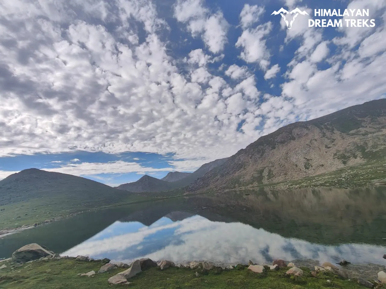
Nandansar is at around 500 ft descent from Kaldachnisar. You will have to cross the forest section with big boulders and loose rocks. Nestled between the northern and southern Nandansar Chot (peak), this is an oval-shaped and 1 km-long lake. The vast stretch of blue and crystal clear water against the backdrop of Pir Panjal mountain ranges will remind you of Spiti Valley. We will continue our hike towards our campsite, Chandansar by ascending through the boulder fields of Nandansar Peak. You will come across a river stream meandering through the big stones and moraine. After crossing the stream, it will take approximately half an hour and a 3 km uphill climb to reach Chandansar Lake. This lake is almost the same size as Nandansar. We will camp here for the night. This spot is perfect for stargazing and you can also see the Milky Way from here if the sky is clear.
Total Trek distance & Time: 9 km, 6-7 hrs
Altitude: 13,300 ft
Altitude Gain & Loss: 400 ft up & 1000 ft down
Our sixth day is all about adventure and adrenaline-inducing trekking trails. We will start early and hike towards the Khabi Ki Gali Pass. Located at 13,330 ft, this pass is the toughest section of the entire trek. It requires you to climb about 300 ft sharp ascent on boulder tracks with loose rocks. This pass will test your endurance, mental strength, and balance. Be careful while climbing, do not topple any loose stone as it could be fatal for the person climbing behind you.
The Khabi Ki Gali Pass is almost flat at the top and requires about an hour to reach the summit. Here, your hard work will be rewarded with stunning views of the Laksukhsar. This is an ‘8’ or infinity-shaped lake with water reflecting the shades of sea green and turquoise blue. The terrain here is easy and you can relax at this spot to appreciate its beauty.
We will continue our trek towards Handusar Lake. It is almost 2 km from the top of Khabi Ki Gali Pass and will take about an hour to reach. It is a round, 0.5 km long, and a comparatively smaller lake. A short hike from here, by crossing the boulders over the lake you can visit two more lakes: Sonasar and Bharanisar. You can also see the Bhagsar Pass from Handusar, which is a tough and risky trek to attempt.
From Handusar, we will return to our campsite via the same route and reminisce about the nature’s beauty we came across today.If you have an extra day, you can also attempt the Handu Pass trek after crossing the Sonasar. It is an almost upright climb of 400 ft at a 70° angle on scree and loose sand. You can also go forward to see the Sarota Meadows, a tabletop alpine grassland with several cattle and goats grazing. Here, you will get the beautiful views of Dhankar Peak and you can also have a ‘Makai Roti’ meal at one of the Shepherd Dhoks.
Total Trek distance & Time: 9.5 km, 6-7 hrs
Altitude: 11,450 ft
Altitude Loss: 850 ft
Drive Distance and Time: 125 km; 4-5 hrs
On the last day of our trek, we will start our day early to reach our base camp, Peer ki Gali or Pir Panjal Pass on time. Our target is to reach Srinagar by 7-8 pm in the evening.
We will cover around 16 km today, starting with an uphill climb towards the left of Nandansar. Crossing this pass will require you to gain 1,135 ft in just 2.7 km. Midway through the trek, you will encounter another beautiful lake–Kalasar. After crossing the pass, you will come across a river stream that you need to cross by climbing the boulders. From here, the trail is downhill and continuing on your track you will start noticing dhoks, meadows, and habitation. Gradually, you will arrive at Pir Ki Gali.
From Pir Ki Gali, you can hire a cab and head back to Srinagar.
Pir Panjal Trek Package
Price Inclusion
Stay: Accommodation is included for all days of the trek. Tents will be provided on a triple-sharing basis. Single and double sharing is available at extra cost.
Transport: Transportation from Srinagar to Chandimarh and Pir Ki Gali to Srinagar is covered.
Meals: All meals are provided from dinner at Chandimarh on Day 1 to Day 7 breakfast.
Trek Equipment: All essential trek equipment is included, such as sleeping bags, kitchen and dining tents, utensils, mattresses, personal tents, toilet tents, and crampons (if needed).
Forest Entry and Permits: All required fuel charges, tolls, forest entry fees, and permits are covered.
Trek Staff: A qualified, professional team, including a mountaineering-certified trek leader, guide, cook, and support staff, will accompany you.
Emergency Kit: First aid medical kits, oxygen cylinders, and stretchers are provided for safety.
Trek Certificate & HDT Badges: Receive a trek certificate and HDT badges to celebrate your adventure.
GST (5%): Goods and Services Tax is Included in the package cost of the trek.
Price Exclusion
Meals during Transfer: Meals are not included while traveling to and from the trek starting points.
Emergency Evacuations: Any charges related to emergency evacuation are not included.
Personal Expenses: Any meals or accommodations outside of the provided itinerary or additional services not listed in the inclusions.
Personal Luggage Carrying: Charges for mules or porters to carry personal luggage are not included.
Check the booking procedure here, including details on booking deposits, payment terms, refund and the cancellation policy.
Best Time to Visit the Pir Panjal Trek
The best time to visit the Pir Panjal Lakes Trek is between July and September. These months bring in pleasant weather in summer and monsoon, and chilly winds during early autumn in September. Temperature is favorable, ranging between 20° to 25° Celsius during the daytime and 10° to 5° Celsius at night. This is the time when blooming flowers of vast meadows make it truly heaven, and crystal-clear water of lakes provides you a calm vibe in the lap of nature. Snow-capped peaks and shower-like rainfall give a chance to enjoy the monsoon at its fullest during this time. That’s what makes it the perfect time to visit, especially for nature enthusiasts. While most of the treks in Uttarakhand and Himachal Pradesh become risky during monsoon, Jammu and Kashmir gives the best trekking conditions during this season. This is because Pir Panjal Lakes lie on the leeward side of the mountain, receiving less rainfall with dry and warm winds.
Not only do the climate and temperature conditions become favorable from July to September, but the scenery becomes magical with different shades of greens and blues. July and August are the months when you can experience Shepherds’ huts at this time, with the shepherds accompanying you on the trails, and you can also stay at their Dhoks. These Shepherds take their livestock to the meadows for grazing during summer and monsoons. They start moving downhill in the last week of August.
Also, a favorite time for trekking might be different for different trekkers. It all depends on the trekkers’ expectations, priorities, and activities they are willing to do at the destination. Considering the weather conditions and climate patterns, below is a piece of detailed information on the Pir Panjal Trek in various seasons:
| Attribute | Details |
| Temperature Range | 31° to 26° Celsius during the day |
| 29° to 15° Celsius at night | |
| Weather | Slightly chilly air with pleasant trekking conditions |
| Clothing layer required | Heavy thermals with fleece outer and jacket |
| Ideal for | Adventure trekking with cool weather and fewer crowd |
| Special features | Vibrant greenery with blooming wildflowers; Lakes with floating ice blocks |
Trekking between late June and mid-July is ideal, if you want to witness the post-spring beauty of the Pir Panjal Lakes. The landscape is still fresh with the receding snow and its residues on the lakes and the meadows. At Nandansar, the highest lake of the Pir Panjal Range, you can find the blocks of ice floating on its surface. The forests become lush with several wildflowers blooming in unison.
The weather is pleasant and the average temperature is about 22°C during the summer season. You will find a comparatively smaller crowd during this time. The nights are slightly chilly, so carry appropriate layers to protect yourself.
| Attribute | Details |
| Temperature Range | 31° to 26° during the day |
| 30° to 16° at night | |
| Weather | Warm and dry winds with unpredictable rain |
| Clothing layer required | waterproof jacket and pants, quick-drying clothes, and layers; rain cover for backpack |
| Ideal for | Monsoon trekking on the leeward side of the Jammu and Kashmir Valley |
| Special features | Beautiful views of mist-covered dense forests and valleys |
Monsoon is the peak season for trekking in the Pir Panjal Lakes. Winds become warmer, making it the perfect weather for hiking. All the snow melts away during this time, making the lakes voluminous with fresh water. The forest trails are surrounded by tall green coniferous trees that seem to touch the sky. You will also spot rare species of flowers and butterflies dancing and swaying on your tracks.
Adding to the beauty of the landscape, the meadows and glades of the Pir Panjal Trek showcase ethereal sunsets and sunrises shining over the visible peaks. While the weather is usually calm, you may experience sudden and unpredictable rain showers in the evening. Mist and fog blanket the entire region, blocking the view of the tracks and your surroundings. Rain may cause landslides and mudslides. The muddy and loose scree and gravel on the large boulder fields make it even more challenging to climb uphill.
As August ends, the weather brings colder winds with a dip in the mercury. Carry a waterproof jacket and pants, quick-drying clothes, and layers. Use sturdy and water-resistant mid-ankle boots to avoid slipping.
| Attribute | Details |
| Temperature Range | 22° to 16° during the day |
| 18° to 12° at night | |
| Weather | Cold winds with chilly nights |
| Clothing layer required | Lightweight thermals with fleece outer and windproof jacket |
| Ideal for | Clear views of the peaks and valleys, star gazing, forest trekking, photography |
| Special features | Golden meadows, picture-perfect scenery, colour-changing lakes |
The post-monsoon scenery of the Pir Panjal Lakes Trek reveals beautiful shades of Autumn that are one of a kind. The meadows turn golden as the grass starts wilting and drying. The dense forests shed their yellow and brown leaves along the trails, creating a scene that looks like it’s straight out of a movie. The entire trek becomes even more interesting with its lakes reflecting different shades of blue, from teal to turquoise.
The weather becomes cold, but favourable for trekking. The chances of rain decrease and the sky becomes clear at night. This season is a great time for astrophotographers to capture the Milky Way and other stars.
To protect yourself from cold winds in autumn, carry lightweight thermals and layer them with a fleece sweatshirt and a windproof jacket. Use heavy socks and water-resistant hiking boots to avoid any injury.
Difficulty Level of the Route [Terrain Nature, Height, & Distance]
The Pir Panjal Lakes Trek comes under the range of moderate to difficult level in terms of walking difficulty. It is ideal for experienced trekkers with optimum fitness levels and endurance. The trek becomes slightly difficult because 90% of its trail is on ascents, descents, passes, and boulder fields. However, it’s worth it with its beautiful meadows and lakes of the Kashmir Himalayan region. Let us discuss the terrain, altitude gain, and other factors in detail that make it a moderately challenging trek:
One of the biggest factors that makes Pir Panjal Lakes trek risky is its rocky and rugged terrain. While hiking, you will cross unmarked trail sections with expansive boulder fields and moraine. These boulder fields include scree and loose gravel that may topple and knock the person behind you. They become muddy and slippery when it rains, adding to the challenge. You will also cross river streams with big rocks.
There are no technical trail sections, however, you will be walking on the ledges and ridges while trekking which are moderate and doable. The lakes require you to pass extremely tough passes like the Khabi Ki Gali Pass, Kaldachni Pass, and Handu Pass, which can be risky if not traversed carefully. Climbing on such a terrain puts a lot of stress on your heels and ankles. Hence, we advise you to carry good quality hiking boots to avoid injury.
The entire Pir Panjal Lakes Trek requires you to cover a total distance of 52 km over 7 days. On average, you will cover about 8-9 km each day. Walking such long distances with a backpack for at least 6-7 hours every day might cause physical and mental fatigue. Hence, you must start physical preparation for the trek by including cardiovascular exercises and weight training, two to three months in advance. One must have moderate levels of fitness and should be able to cover 10 km within 60 min on the treadmill to complete this trek with ease.
In addition to the long distance, we also gain significant altitude within a short span. The highest point of the Pir Panjal Lakes trek is 13,300 ft and the lowest is 5,184 ft at base camp–Chandimarh. On the first day itself, you gain an altitude of around 4,176 ft, from the base camp to Thera. Just imagine the steepness of the climb as you will gain around 3,000 to 4,000 ft each day. This exposes the trekkers to the possible risk of Acute Mountain Sickness (AMS) as the rapid change in altitude may cause nausea and extreme headache. To prevent this, follow an itinerary that suits your fitness level and endurance, and acclimatize properly to prevent altitude sickness.
The Pir Panjal Lakes Trek is a monsoon trekking destination. This season is also the peak tourist period, and you’ll encounter many trekkers and shepherds along the trails. The weather during the months of late June to August remains calm and favourable for trekking.
However, unpredictable evening and morning rain may cause challenges of landslides, flooding, mudslides, and low visibility due to fog. We advise you to keep an eye on the weather forecast and use GPX files for navigation to avoid any accidents.
The autumn season arrives with the onset of mid-September. The air becomes cold and the nights become chilly. This season is safe for trekking, however, occasional rains may occur. Wear appropriate clothing layers to safeguard yourself from extreme cold.
The entire Pir Panjal region gets covered with snow and remains so, throughout December to March. It becomes very difficult to locate the trails and the extreme climate conditions are not ideal for trekking. The lakes freeze during winter and remain frozen till the spring season.
During summer, you can find large ice blocks floating on their surface. The temperature during summer months stays at an average of 22°C, making it pleasant for trekking without any serious risks.
Preparation for the Trek [Physical Fitness, AMS]
Treks are all about fun, adventure, finding yourself, etc, but only for those who are mentally and physically fit. Because activities like treks, especially a Himalayan trek, challenge you on different levels in unimaginable ways and situations.
Altitude gain, and long walking distances of each day, make the physical preparation and altitude sickness awareness important for this trek.
Being fit is like being equipped with the right weapons for a battle. With a fit body and strong mind, you can make the most out of your Pir Panjal trek. Lets discuss in detail about the preparation:
The trek difficulty dictates your level of fitness and preparations for it. As mentioned above, it is a moderate level trek so prepare accordingly.
Fitness Target:
- An easy level and weekend treks require a basic fitness level, where you should focus on building your stamina and strength. Start with walking/running and include a 45-minute to 1-hour workout (cardio + strength training).
- A level-up in a fitness routine is required for a moderate level trek like start aiming to run 5 km in under 30 mins, and strength training is a must.
Mental preparation includes thorough research of the trek you want to do or decide to. Understand the terrain, difficulty level, and the ways to get fit for it, look up for sudden situations that may happen, and how to tackle them. Being prepared gives you an edge to keep calm & handle a difficult situation.
Exercises to achieve the goal:
- Cardiovascular Training: Running, cycling, and swimming to boost stamina.
- Strength Training: Focus on leg exercises like squats, lunges, and step-ups for endurance.
- Core Strength: Planks, mountain climbers, and Russian twists to maintain balance on uneven trails.
- Flexibility Exercises: Stretching, yoga, and dynamic warm-ups to prevent injuries.
- Mental Conditioning: Visualisation techniques, breathing exercises, and meditation to strengthen focus and manage stress on difficult days.
Tip: For moderate to difficult-level treks, practice exercises with weights. Seek professional advice accordingly.
Extra Tips related to the diet, muscle recovery, and healthy lifestyle routine
Diet: Incorporate proteins like lentils, chicken, eggs, tofu, etc for fast recovery after a strenuous trek. Whole grains like wheat, quinoa, barley, etc for sustained energy, and leafy greens like spinach, bitter guard, and any seasonal veggie for those extra nutrients and building the immunity system.
Muscle Recovery: Plan rest days and add stretching, relaxing yoga poses or foam rolling after every workout.
Lifestyle Routine:
- Limit alcohol and caffeine consumption.
- Start sleeping upto 8 hours.
- Stay hydrated – drink 2 to 3 liters of water. To incorporate more nutrients, including coconut water, fruit, and vegetable juices.
Altitude Sickness happens when your body cannot adjust to lower oxygen levels at higher altitudes. This happens mainly because your body doesn’t have enough time to acclimatize to a higher altitude or not enough time to get used to lower oxygen levels.
How to Prevent AMS –
- Gradual Ascent: Climb slowly to give your body time to adjust.
- Hydration: Drink plenty of water to prevent dehydration.
- Rest and Sleep: Ensure ample rest, especially as you reach higher camps.
- Avoid Alcohol: Limit alcohol and caffeine, which can lead to dehydration.
What to do –
- Most Important – Inform your trek leader as well-trained leaders and experience they can assess the situation better and find solutions faster.
What trek leader may suggest? Trekkers without agency should also know these instructions –
- Stop and Rest: Pause your trek to recover.
- Descend if Necessary: Descend immediately to Raithal Basecamp, our team with the vehicle and necessary help will be there for further action.
- Stay Hydrated: Drink water and avoid strenuous activity.
- Seek Medical Help: After descending our team will take you to the nearest hospitals if needed. If solo, then descend and seek the closest medical help.
- Nearest Hospital Details – District Hospital Shopian
- Address – Malik Mohalla, Shopian, Jammu and Kashmir 192303
- Contact Number – Dr. Arsheed Hussain Tak, 01933-260293
Trek Essentials [What to Pack]
- 45-60 Ltr Bag Pack With Rain Cover & Comfortable Straps
- Hot and Cold Water Bottle Like Borosil and Milton
- Energy Bar, Dry Fruits, and ORS
- Personal Medical Kit
- 1 Pair of Sunglasses (UV Protected)
- 1 Neck Gaiters (Buff)
- Tiffin Box
- 2/3 Full Sleeves (Non-Cotton)
- 1 Full Fleece T-Shirt
- 1 Fleece Jacket (Woolen or Sweater)
- 1 Down Feather/ Hollofil Jacket
- 1 Waterproof Jacket/ Poncho
- 1 Pair of Thermal Inners (Upper and Lower)
- 2 Trek Pants (Avoid Shorts and Denim Pants)
- 1 Pair of Waterproof Gloves
- 1 Pair of Woolen Gloves
- Sun Cap
- Woolen Cap
- 4 Pairs of Cotton Socks
- 1 Pair of Woollen Socks
- 1 Waterproof and High Ankle Trekking Shoes
- 1 Pair of Floaters
- Hand Sanitizer and Sunscreen Lotion
- Toothbrush and Toothpaste
- Toilet Paper
- Quick Dry Towel
- Lip Balm and Antibacterial Powder
- Moisturizer
- Aadhaar Card, Pan, or Passport for Applying Permit
- Trek Insurance
- Medical Certificate
- Self-Declaration Form
- Sleeping Bag
- Common Tent
- Mattress
- Dining Tent
- Camping Stool
- Walkie Talkie (For Team)
- Utensils
How To Reach Pir Panjal Trek Base Camp
The nearest airports are Srinagar International Airport (SXR) or Sheikh ul-Alam International Airport and Jammu Airport. These Airports are well-connected to major cities in India, like Bengaluru, Mumbai, Kolkata, Chennai, and New Delhi, among others. From Jammu Airport, you can travel to Poonch via a bus or shared taxi.
The Srinagar airport is about 123 km from the Chandimarh base camp. You can hire a private taxi directly from here. It should take about 4 hours to reach the base camp. Another option is to spend a day at Srinagar and explore the nearby attractions. The Airport is about 10.3 km from the capital city. You can set out for Chandimarh the next morning.
The nearest railhead to Chandimarh base camp is Anantnag railway station (106 km).
Jammu Tawi railway station is the nearest major railway station which is well connected with New Delhi, Bangalore, Chennai, and more. It is about 200 km from Chandimarh and you can easily get shared cabs to reach Behrangala and further to Chandimarh.
From Jammu Tawi, you can travel to Jammu ISBT via auto, here you will get plenty of roadway options, from taxis to buses, to reach Chandimarh base camp
Tip: Book your tickets a day early to the trek, i.e. Day 0 for the best experience.
You can arrive at Jammu or Srinagar via Train or Flight. Both the cities are well-connected via motorable roads to Chandimarh base camp.
Chandimarh is accessible via Mughal Road and NH 144A. You can hire a shared or private taxi to get here. These services are available from Jammu ISBT in Jammu (196.3 km) and Lal Chowk in Srinagar (128.3 km). From here, you can directly reach the Poonch district
Srinagar To Chandimarh Route: Srinagar- Pampore- Ratnipora-Pulwama-Rajpora- Hirpora-Shopian-Chandimarh
Jammu To Chandimarh Route: Jammu- Sunderbani- Naushera- Rajouri- Thanamandi- Bafliaz-Chandimarh
Map of the Pir Panjal Range and its Trek Routes
Current Weather & Temperature
Other Facts to Know about the Pir Panjal
Read more info regarding Pir Panjal below
The rich cultural heritage and tradition of the whole Pir Panjal Region will enhance your trekking journey towards its beautiful lakes. While traveling from Srinagar to Chandimarh, you will cross the historic route known as Mughal Road. As the name suggests, this is the same route followed by the Mughal rulers to reach Srinagar from Agra, via New Delhi. You will find many Sarais (inns) and a few forts on this road. If you want, you can visit these forts that take you to the Mughal Era with their intricate architectural style. Many locals also believe that the same route was used by the participants of the Second Buddhist Council in Kashmir, during the Kushana period (1st AD). If proven true, this might be one of the oldest routes in the country.
After you reach Chandimarh, another historical site, Noor-e Chamb awaits you in the Pir Panjal range. This waterfall marks the spot where Queen Noor Jahan used to relax and bathe.
Throughout your Pir Panjal Lakes trek, you will come across at least 10-12 alpine lakes. There is folklore behind the names of these lakes. It is said that the 7 main lakes were named after the sons of a king who ruled the region about 500 years ago. The largest of all the lakes, Nandansar, was named after his successor and eldest son. He also had a daughter, Kaldachni, after whom the smallest lake was named Kaldachnisar. The Pir Panjal region hosts a number of ethnic and nomadic groups like Gujjars, Bakerwals, and Dogras. The Bakerwals and Gujjars are semi-nomadic pastoral communities that depend on livestock and agriculture for a living. These move up along with their cattle towards the meadows of the Pir Panjal range for 3 to 4 months during summer and monsoon. They build Dhoks or stone huts to spend their days at the top. While trekking, the hospitality of the locals will fill your heart with warmth. The conversations with these shepherds over a cup of Kahwa inside their dhoks will make your Pir Panjal Lakes Trek even more memorable.
The varied ecosystem of the Pir Panjal Region makes it a biodiversity hotspot with many endemic and endangered species of flora and fauna. Here, you get to see dense temperate broadleaf and coniferous forests, meadows, glacial lakes, and alpine deserts. This transition in landscape makes it a perfect location for a mix of biodiversity to thrive and adapt to various environments. Let us have a look at the Flora and Fauna of Pir Panjal Lake Trek in detail:
Flora of the Pir Panjal Region
The Deciduous and Coniferous forests dominate the forest section of the Pir Panjal Lakes Trek. The tall trees like Oak, Pine, Himalayan yew, and Birch seem to meet the sky and provide shade to you while trekking.
The forests and the meadows like Girjan, Khuan and Byad feature many colorful flowers. These include Himalayan Vein Geraniums, Anaphalis, Forget-me-nots, Chrysanthemums, Gentiana, Iris, Blue Poppies, and dandelions.
In addition to the above species, you can find the ‘Pahadi Lahsun’ or ‘Kashmiri garlic or Himalayan garlic’ growing on the trails. Locals use it to make Kashmiri dishes. This garlic also has significant medicinal value.
Fauna of the Pir Panjal Region
- Wildlife: Hangul, Himalayan black bear, Brown bear, Musk Deer, Snow leopard, Langur Monkeys, and more.
- Birds: Western tragopan, Himalayan monal, Griffon, Golden eagle, Himalayan quail, and many other songbirds.
- Fishes: You can find endemic species like Pir Panjal Snow Trout, a type of fish and the Pir Panjal Frog in the lakes of the region.
- The Sufi Shrine of Saint Sheikh Ahmed Karim
- Thera and Khuan Villages
- Sarota Marg
- Sarkoot Temple
- Tarsar Lake, Marsar Lake, and Sundarsar Lake
- Kashmir Great Lakes
- Mughal Forts in Chingus and Thanna Mandi
- Mughal Gardens
- Noori Chamb waterfall
- Aharbal Waterfall
- Hispora Lakes
- Loran
- Dal Lake
SCI, Foreign Permit & Vehicle
HDT is registered with the IMF, and we can cater to the needs of SCL for Government Employees. According to the rule, the government of India provides its employees with a prospect where they’re allowed to apply for a 30-day special casual leave in a calendar year to do trekking, hiking, or whatever adventure pleases them.
Mail us at info@himalayandreamtreks.in or call us at +91 80896 93825, if you want to avail SCL.
For foreign nationals, permit charges are different, and hence the overall package price is different for foreign trekkers. Connect with us before booking your trek.
- For 4-6 people Ertiga/Bolero or equivalent vehicle.
- For 7 or more people, Force Traveller.
FAQs on Pir Panjal
The Pir Panjal Range is a mountain range that is part of the Lesser Himalayas. Located in the Western Himalayas of the northern Indian subcontinent, most of the range lies within the Poonch and Rajouri districts of Jammu and Kashmir, and some parts of the range span across the state of Himachal Pradesh in the east-southeast and Pakistan in the west-northwest.
Well, the entire Pir Panjal range is really beautiful and perfect for all trekkers, whether you are a nature lover or an adventure enthusiast. But the route from Chandimadh to Peer ki Gali is one such trekking path in the region that is a blend of many attractions. The region is famous for its endless meadows, beautiful alpine lakes and various ascents and descents, which makes this part of the Pir Panjal range perfect for trekking and is famous among trekkers as ‘Pir Panjal Trek’ or ‘Pir Panjal Lakes Trek’.
You will reach the maximum altitude of 13,300 feet (4,054 meters) above sea level. Starting from the base point, Chandimarh, it takes approximately 5-6 days to reach the highest point of the entire trek.
Pir Panjal range is a part of the Lesser Himalayan region.
The Pir Panjal Trek route takes about 6 to 7 days in duration to complete, which covers a total distance of 52 kilometers (32.3 miles). Reaching a maximum height of about 13,300 ft, the trail offers moderate level challenges, making it suitable for good fitness level beginners and experienced trekkers.
The range has many alpine lakes and meadows, making it an ideal trekking destination. The range also contributes to the formation of the Kashmir Valley, also known as “The Vale of Kashmir” and is formed by both the Greater Himalayan Range and the Pir Panjal Range.
While altitude sickness is not a common issue during the Pir Panjal Trek and only a very small number of trekkers are affected by it, you must still be very careful because safety is the first priority. Our destination lies at an altitude of approximately 13,300 feet above sea level. If you are going above 8,000 feet above sea level, the chances of altitude sickness increase, and if you gain more than 3,000 feet in a single day, it might become a real concern. However, our itinerary is designed in such a way that you have enough time for acclimatization, which reduces the chances of altitude sickness. Therefore, altitude sickness is not very common on this trek, but you are advised to inform your trek leader if you experience any symptoms.
“Srinagar International Airport” is the nearest airport to the base camp of Pir Panjal Trek. From Airport, one can easily hire a cab to reach Chandimarh base camp.
Yes, we have a wide range of packages based on services, called customized tours. If you’re looking for a private holiday package for the Pir Panjal Trek, we provide our guests with an option for tailor-made adventure holidays in the Kashmir Himalayas. Whether you’re a solo traveler, a group of friends, or a family, you can opt for your personalized trekking program. This option will allow you to enhance the quality of services of facilities such as accommodation, transportation, meals, or add-ons for any other requirements. Take a look at the features that make a customized tour package different from a ready-made plan for the trek.
Private Group: Switching from a group departure to a private one is mostly preferred by families and trekkers who want a personalized experience of hiking in the mountains. No other participants will be added to your group. We offer you the option to have a dedicated group exclusively just for you, with enhanced services or the same services as a standard package.
Itinerary: Design your itinerary instead of following a pre-designed one. This will allow you to experience more sightseeing options and activities. Our travel experts can help you with this, or you can provide an itinerary that best suits your requirements if already know about the region.
Transportation: We provide you with a well-maintained, neat & clean vehicle of your choice (Swift/Ertiga/Innova/Tempo Traveler) to travel from Srinagar to Chandimarh and Pir ki Gali to Srinagar. This transport service will be dedicated only to your group.
Accommodation: We provide comfortable & cozy homestay accommodation in Chandimarh, and during the trek, you will be provided with the best camp stay (A-Shape/North Face/Mountain Hardware).
Meals: For an unparalleled trekking experience, the meal plan is a core factor of service inclusions. You can provide your own meal routine and list of items to be included/excluded, ensuring they best suit your requirements.
Equipment: Like the standard package, there will be neat & clean equipment, but in dynamic packaging, you can add extras such as air mattresses, air pillows, inner liners, upgraded sleeping bags, trekking poles, hiking boots, extra oxygen cylinders, etc.
The cost of the Pir Panjal Trek Package varies from INR 16,000 to INR 25,000 per person, depending on the itinerary, group size, service inclusions (stay, transportation, meals, trek essentials, etc.), and the time of the year (off-season or on-season) you are planning for trekking.
With the 7D/6N itinerary, this package is inclusive of essential services like transportation, accommodation, meals, certified guide or experienced trek leaders, local sightseeing options, trail permit, and activities. As an on-ground tour operator, we have expertise in making arrangements and handling logistics to provide an unparalleled experience for our guests. To make your trekking experience as convenient and enjoyable as possible, our trek experts and dedicated support staff are available 24/7 to help you with any queries or issues related to the trek.
The Pir Panjal Trek falls under the moderate to difficult category in terms of walking difficulty, so it is mostly suitable for experienced trekkers. Although beginners can attempt this trek, it requires a good level of physical fitness. As a beginner, if you can complete a 5 km run within 30 minutes, it is very likely that you can complete this trek with ease.
There are a total of 4 meadows encountered during the Pir Panjal Trek, and their names are mentioned below:
- Thera Meadow
- Paindhari or Panjdhari Meadow
- Khuan Meadow
- Byad Meadow
Small in size, Girjan Marg and Sarota Meadow are some other meadows encountered during this trek.
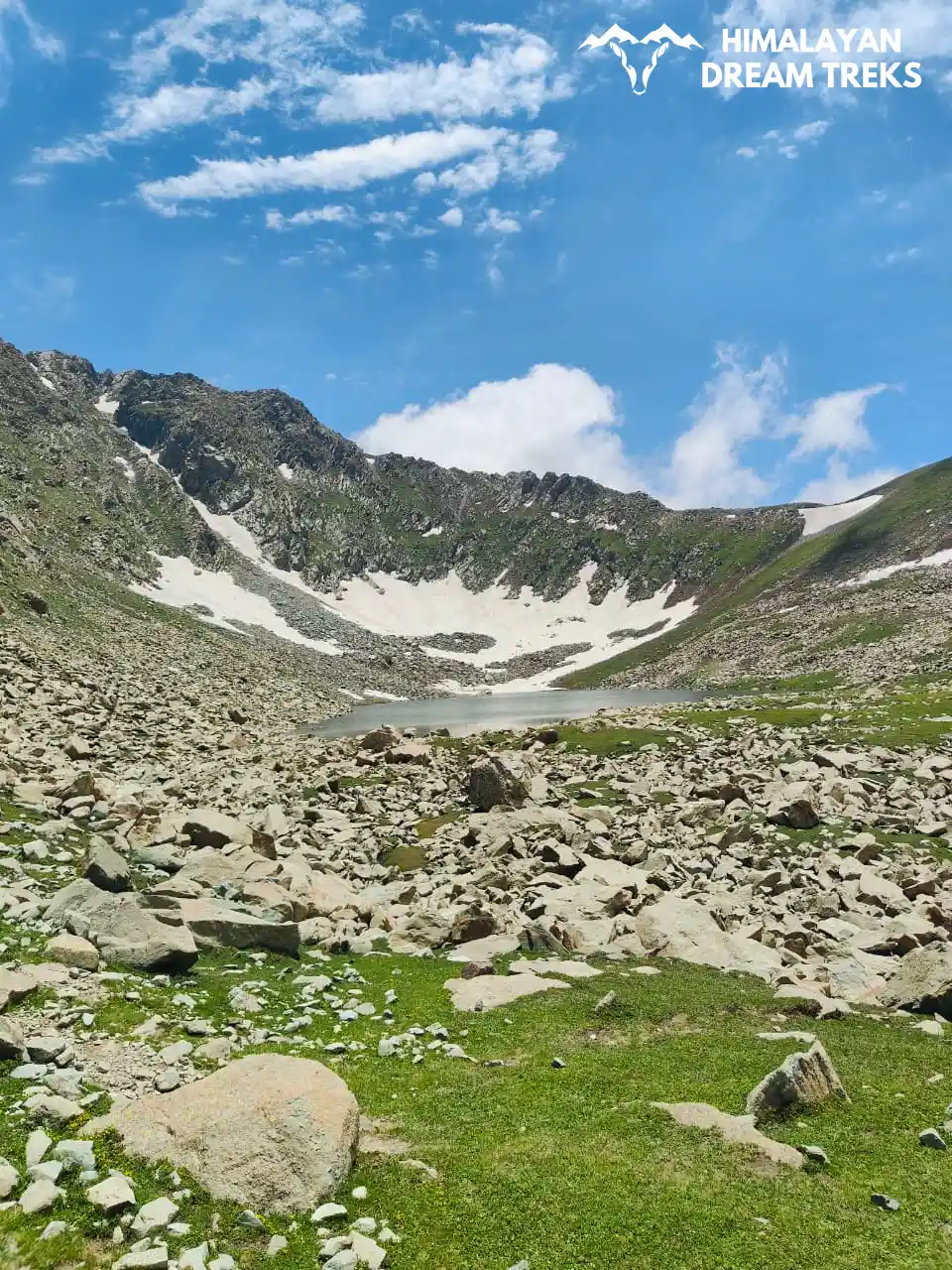
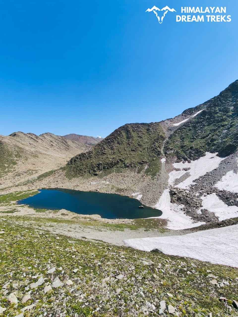
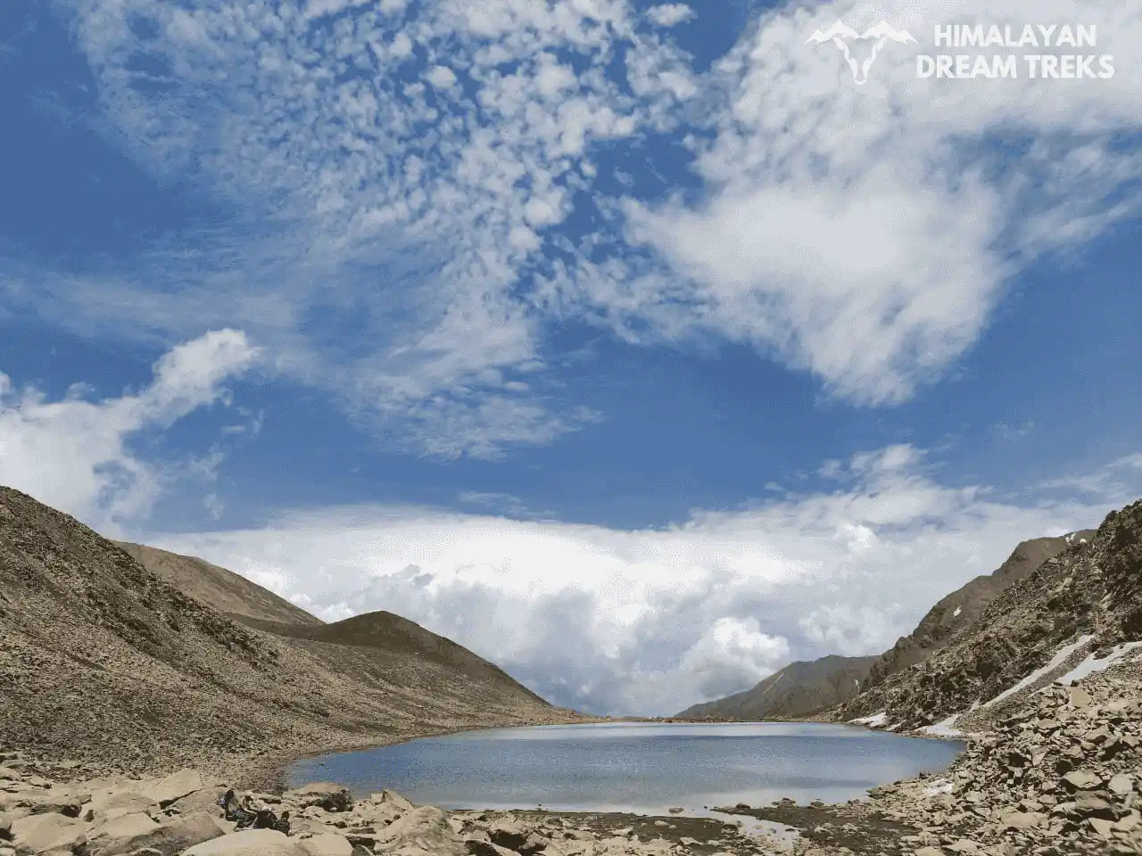
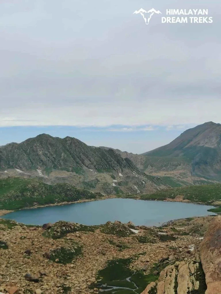
There are more than seven lakes to visit during the Pir Panjal trek. The trek includes around 12-14 alpine lakes, some of which are large in size, while some are medium or small. Due to the abundance of alpine lakes, this trek is often called the ‘Pir Panjal Lakes Trek‘. The names of some of the lakes are given below:
- Neel Sar (This is the largest lake of the Pir Panjal range)
- Chandan Sar
- Sukh Sar
- Kaldachni Sar
- Nandan Sar
- Hudu Sar
- Laksukh Sar (This is the most beautiful lake of the entire journey)
- Sona Sar
- Bharani Sar
- Kala Sar
All these lakes are in the Girjan Valley of Poonch and are major attractions of the Pir Panjal Trek
The weather in Chandimadh base camp is clear and calm, with subtle changes during monsoon days. The temperature remains around 20 degrees Celsius during the day and drops to 5 degrees Celsius at night, with light winds blowing at a speed of 7 km/hr the weather remains stable and there is no significant rainfall.
The visibility is very good at this time. These mild conditions provide calm weather for outdoor activities.
Whether trekking or relaxing against the backdrop of the Kashmir Himalayas, light winds and pleasant weather make the Chandimarh of Poonch district as a perfect destination of the Pir Panjal.


Leave a Comment